


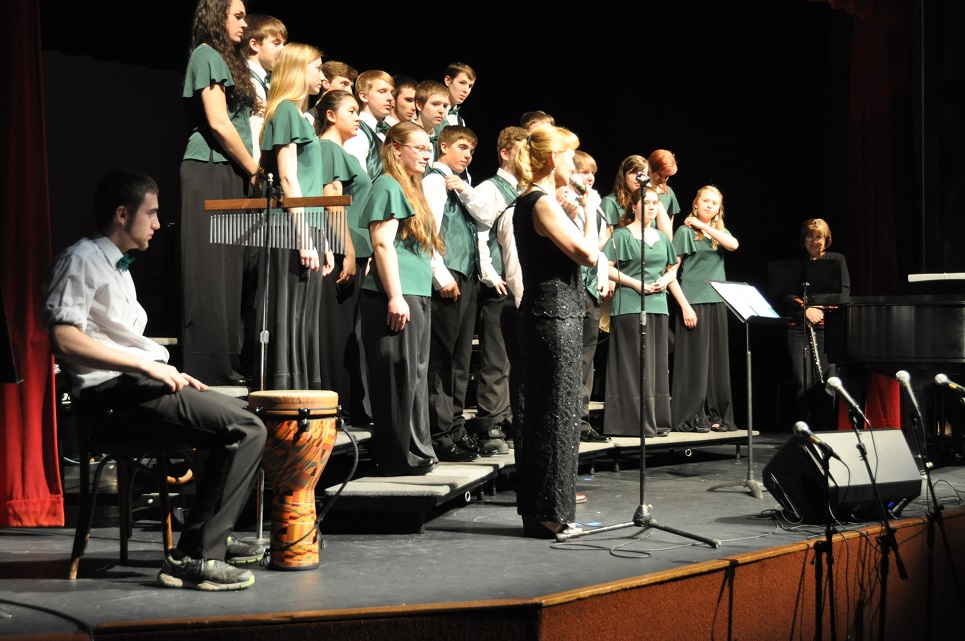
SAILING EXPLORATIONS & ADVENTURES

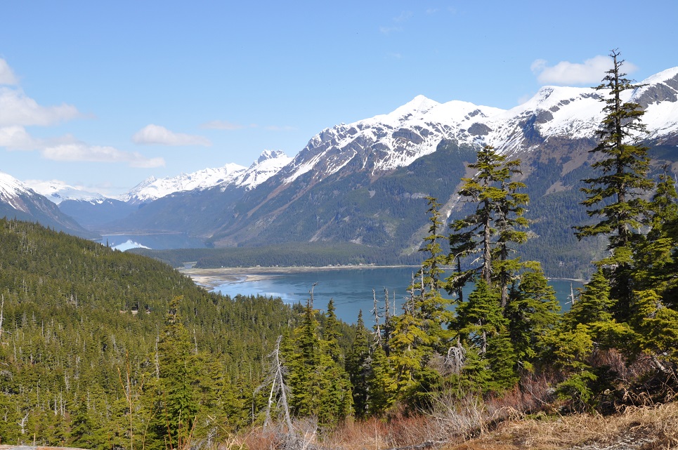
2014 – SUMMER CRUISING AROUND THE GULF OF ALASKA witnessing her majestic beauty, amazing wildlife and lingering in some of the most remote places…
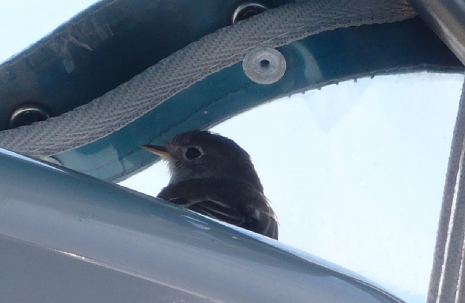
s/v Raynad kept us safe and comfortable. I really loved being able to enjoy the beauty from inside inside or cozy boat gazing out through the large pilothouse windows between trips ashore for hiking and beachcombing.

May 25, 2015
LATITUDE: 58-55.53N
LONGITUDE: 135-22.02W
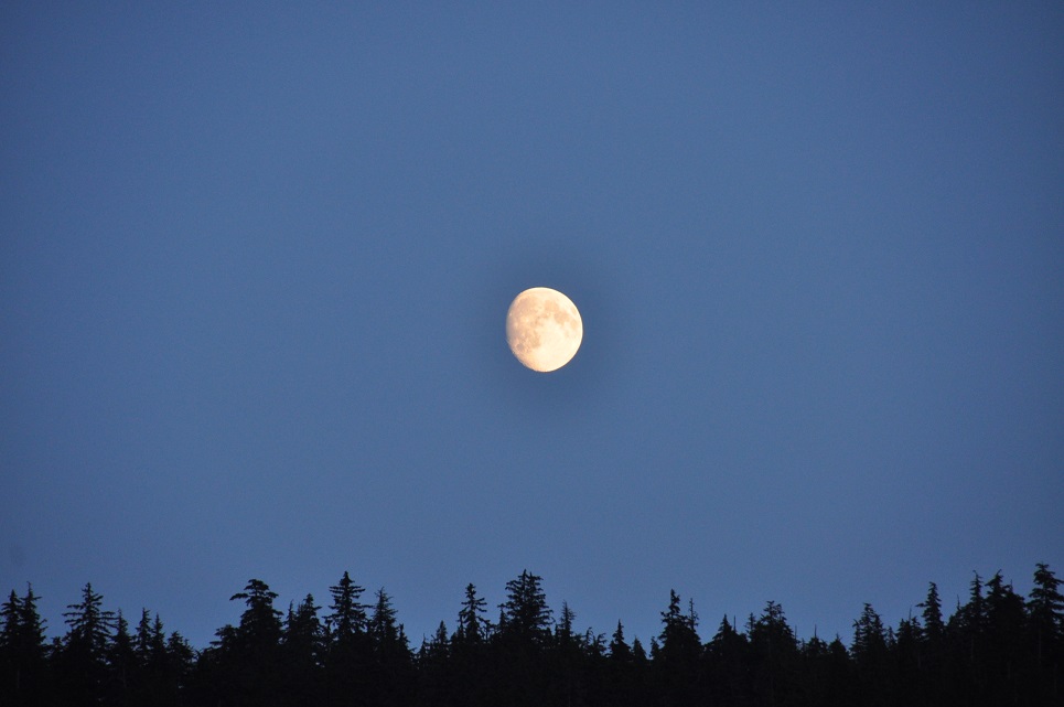
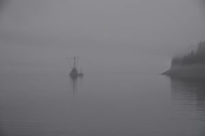
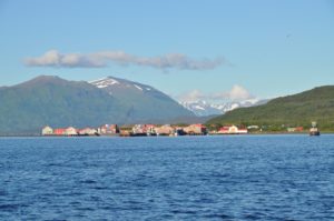
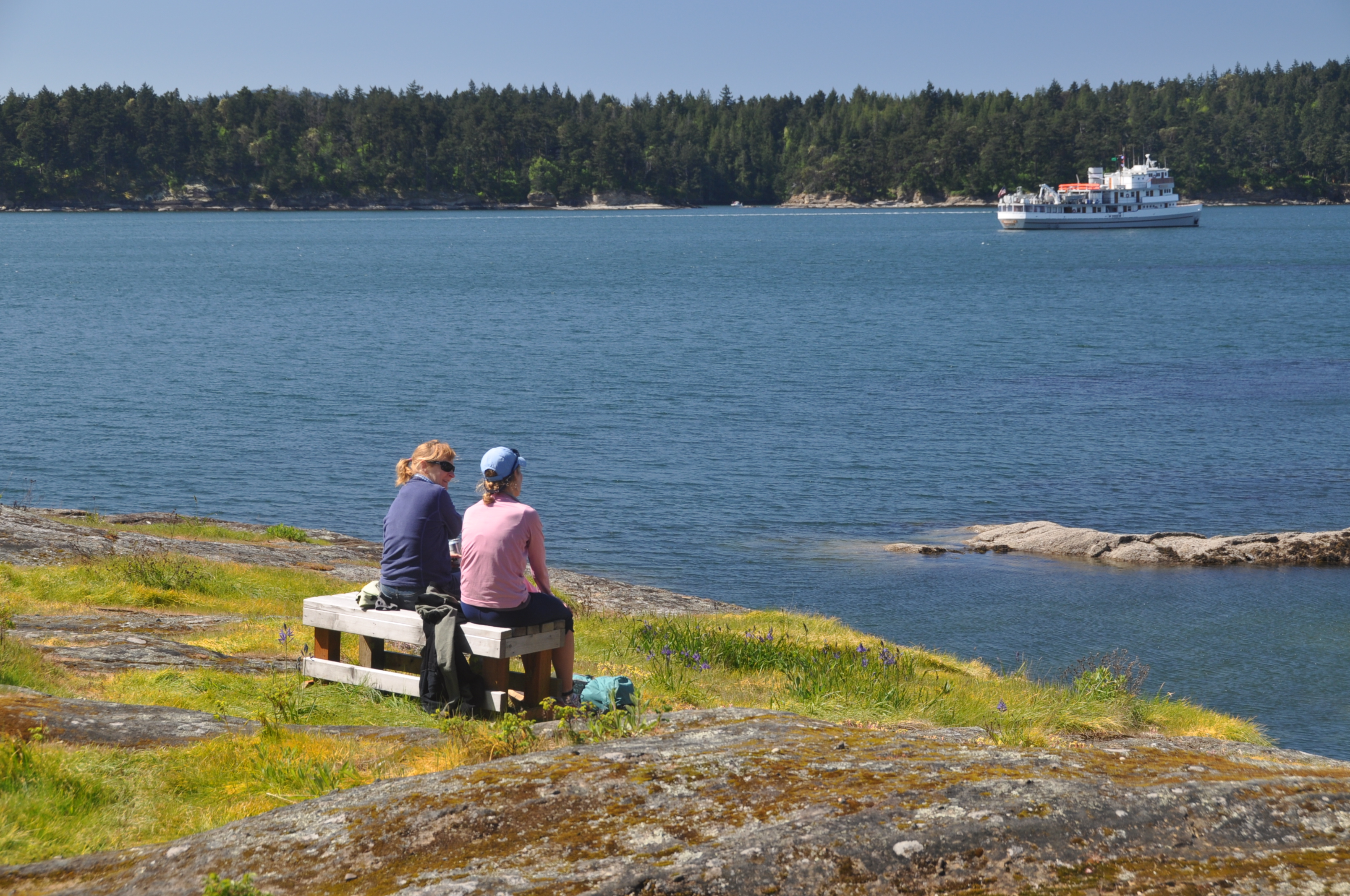
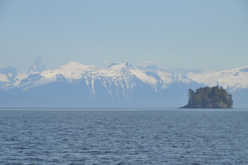
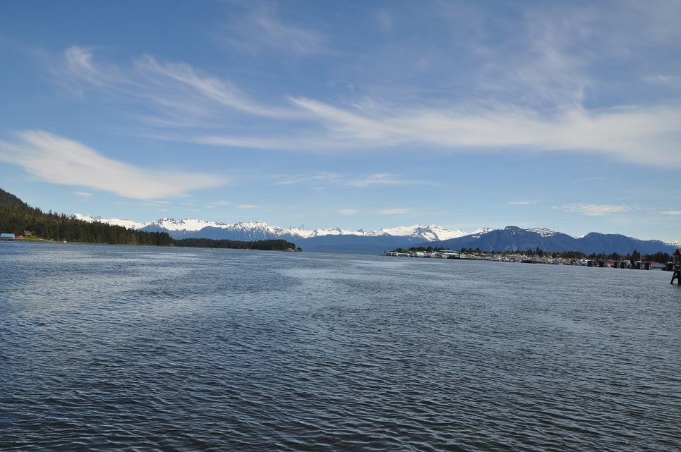
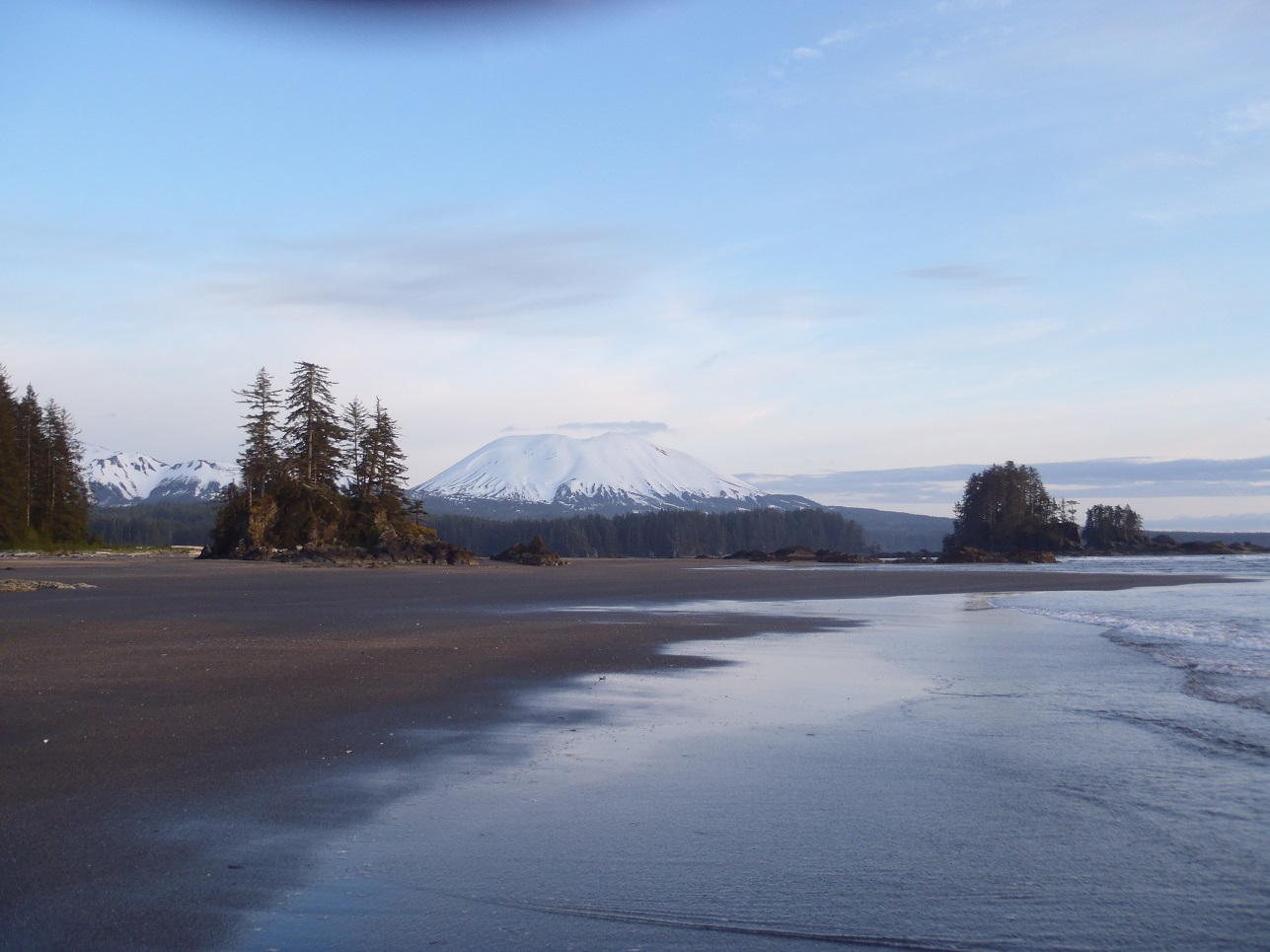
Sullivan Island.. SE Alaska.
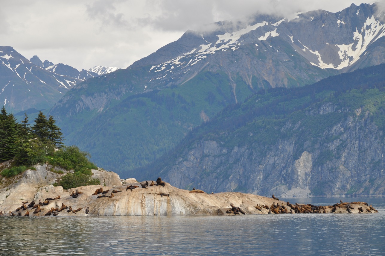
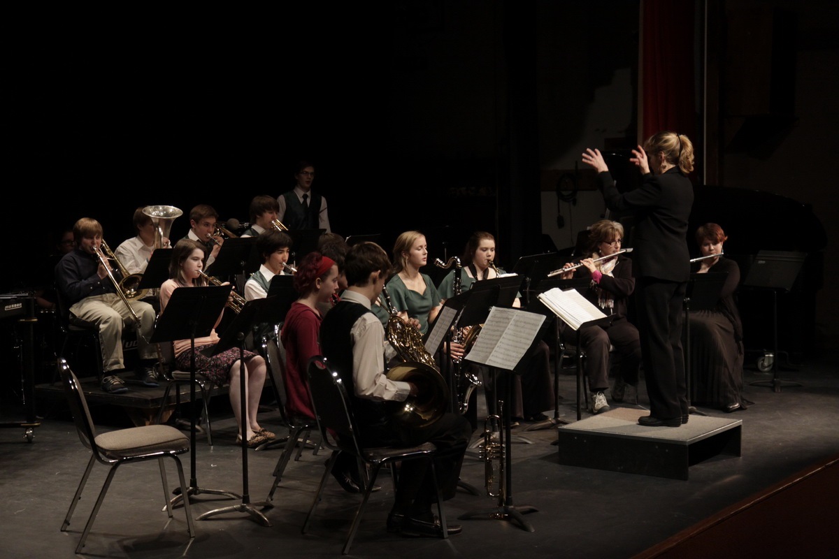
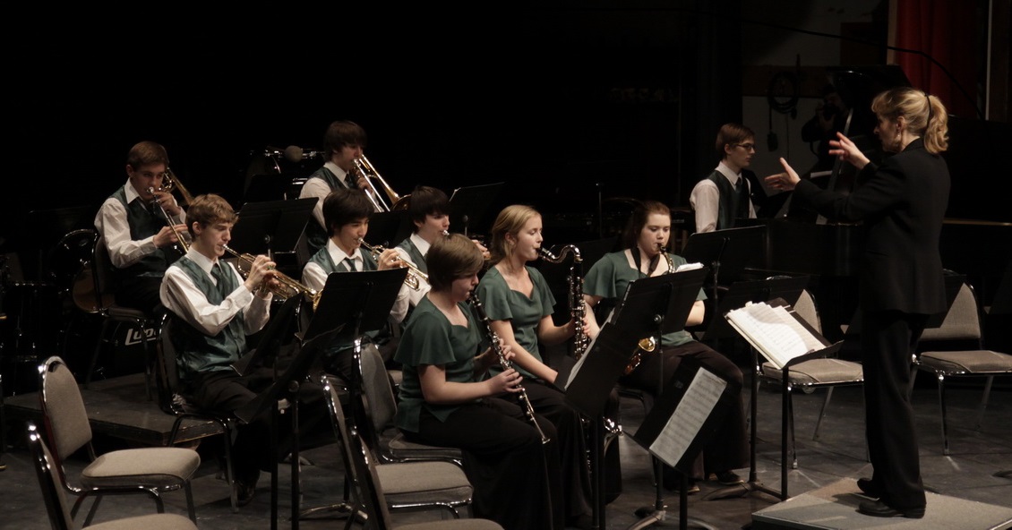
School is OUT for summer! Kris handed in the band room keys, John had the boat fueled and ready to go, we dropped the mooring lines from  Haines Harbor and made our way 12 mi on a gorgeous sunny day to drop anchor next to Sullivan Island. This is one of our favorite anchorages with towering peaks, glaciers, bears, sea lions….a perfect start for summer vacation.
May 27, 2014- Juneau, Auke Bay Harbor
May 28, 2014 -FUNTER BAY
After lots and lots of shopping, stowing stuff away, taking on fuel, etc….we left Juneau and dropped anchor last night in Funter Bay and within 30 mins had a bear to watch grazing along the beach beside our boat:) It’s wonderful to sit in our warm and cozy pilothouse and look out at the world around us, especially when we get to observe bears!
 May 29, 2015
LATITUDE: 58-27.63N/ LONGITUDE: 135-53.11W
Arrived Bartlett Cove – Glacier Bay
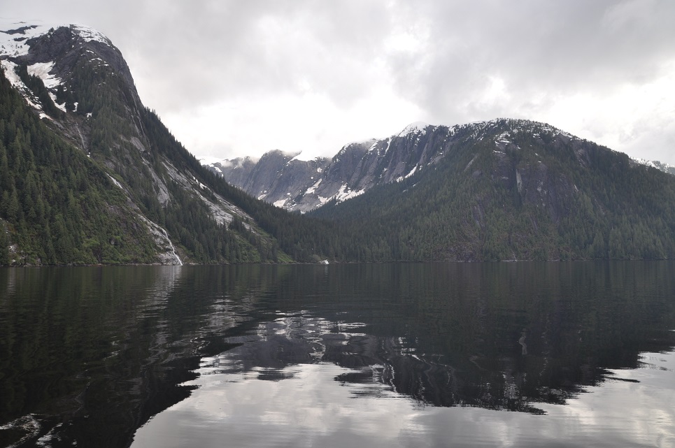
Raynad is now anchored in Glacier Bay – at Bartlett Cove, just six days after Mum finished school. We have to check in here with the Ranger Station to make sure we know not exceed the speed limit of 13 knots which is silly because Raynad only goes at 7 knots. It’s also silly because the speed limit is to avoid ‘Whale Impacts’. How did they come up with the thirteen? I reckon it depends on the way that the whale is going. If it is going in the opposite direction the the closing velocity is 26 miles an hour which is enough to skewer any living thing. I would think they should have a traffic pattern such that whales were only allowed to drive on the right, then we could make some progress on avoiding collisions.
 May 30, 2014
LATITUDE: 58-34.73N/ LONGITUDE: 136-12.12W
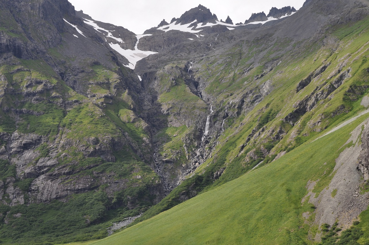
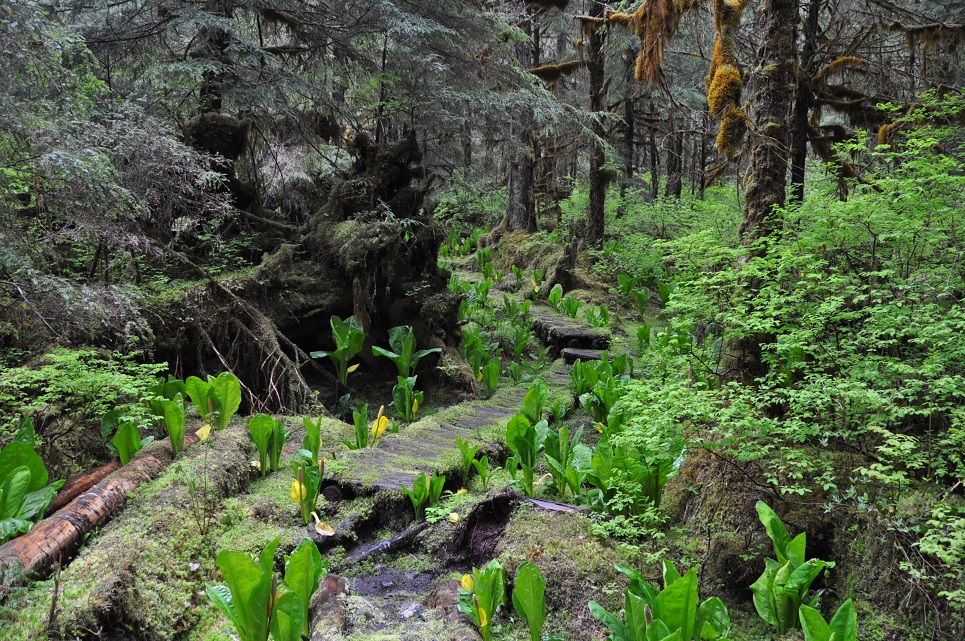
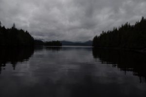
Fingers Bay in Glacier Bay Nat’l Park typical SE misty day
We have cleared all the park details for entering Glacier Bay and even managed to get 2- 7 day permits (one in each name) so that we can wander around the various inlets for 10-12 days or so. Some long distances to travel up and back to view glaciers, lots of non-motorized area restrictions which are a bummer, but we’ll try to “row” the dingy I guess and maybe even sail!?!? Looked at renting kayaks but they wanted $55 per day, so that was a bit too steep. Typical SE misty, rainy day. John is putting on the kettle for another cuppa as I type:) Good afternoon to kick back and start another book. Might even start reading about ancient civilizations since that’s my new subject to teach next year.
May 31,2014 LATITUDE: 58-46.74N/ LONGITUDE: 136-29.06W
Blue Mouse Bay nice to be tucked away out of the cold winds
We are in Glacier Bay Park, cloudy skies, a bit of low cloud, but at least the winds have lessened for awhile so he boat is sitting still. Was blustery yesterday.
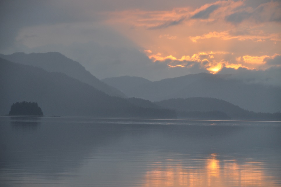
 June 2, 2014
LATITUDE: 59-01.09N /LONGITUDE: 137-01.75W
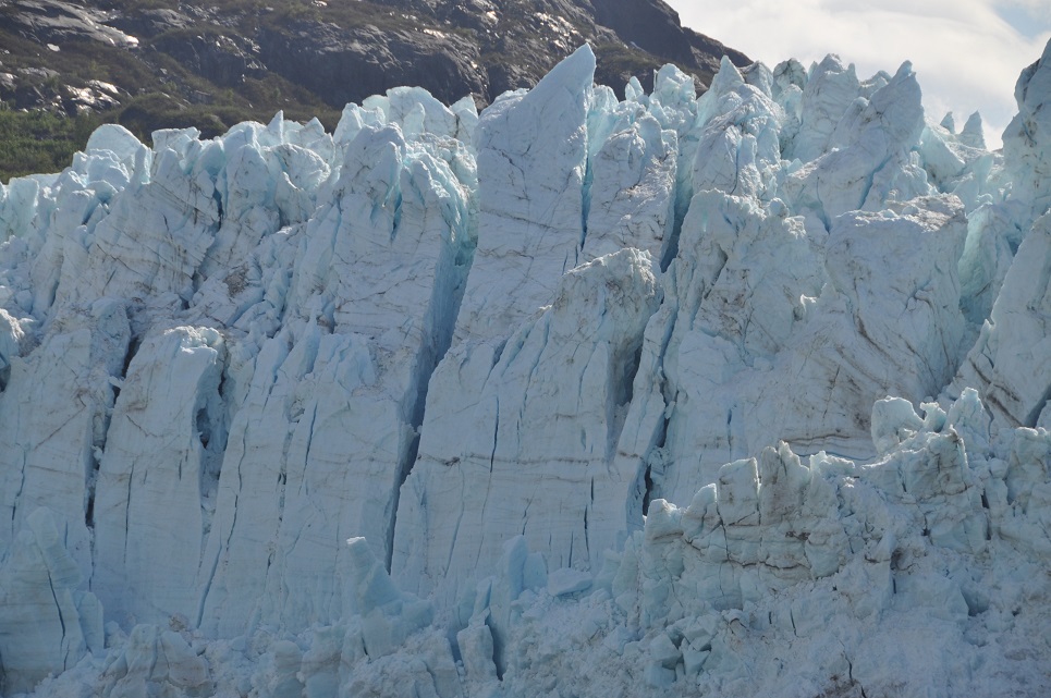
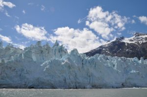
Foot of Margerie Glacier – beautiful sunny evening!
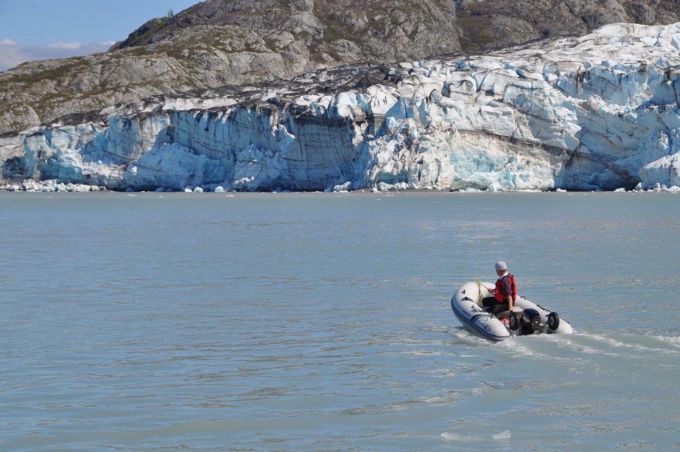
 We had a lovely evening with clear skies and totally enjoyed our anchorage just across from the glacier. Unfortunately as the tide went out, all the ice bits from the head of the bay came our way, including several larger bergs! With dreams of waking to a beautiful morning gazing out over the waters to a calving glacier, birds and wildlife around us….etc….we decided to just move our anchor a bit and stay the night despite the ice.
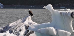
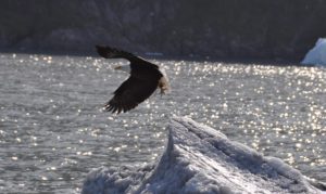
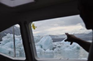 Not the best for a restful night. We both were up and down most of the night worrying over one particular iceberg that seemed determined to stay with us – what was at first a beautiful sculpted berg that not only looked like a swan but even had a couple of eagles perched upon it – John had taken lots of photos of it while were motored my.
 Finally at 5am, it was too much and too risky with the tide yet turning again and the swan looking more like a menacing dragon,
  we lifted anchor and are now just floating about waiting to see the big event of a large chunk calving off the face of Margerie Glacier.
June 4, 2014
LATITUDE: 58-55.57N / LONGITUDE: 136-48.39W
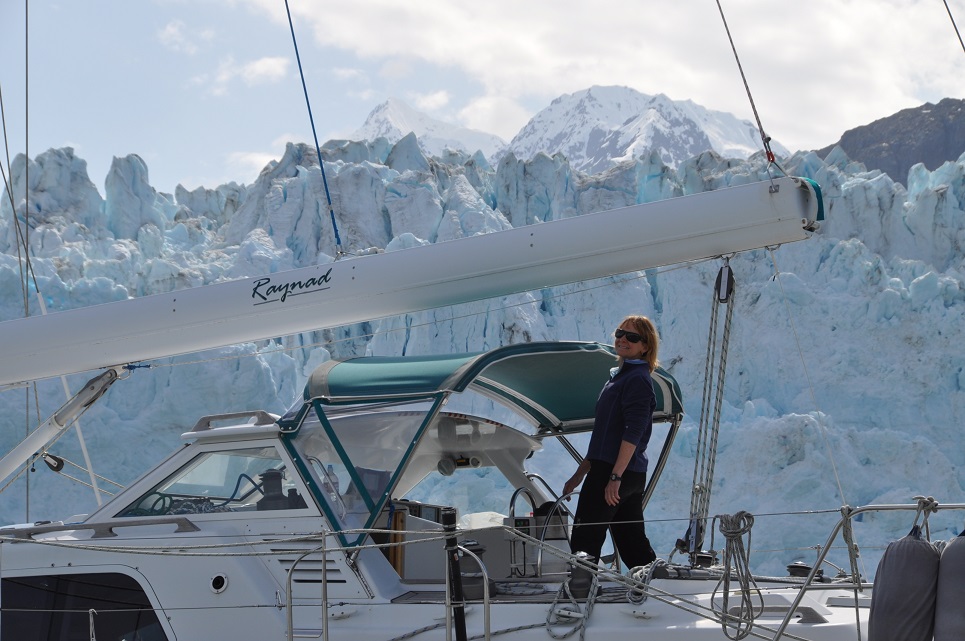
Yesterday started a bit hair-raising with our waking up at 4:30am to very large and menacing iceberg just off our stern! Captain John wrestled awake his grumbling crew (we’d been awake much of the night anyway watching with alarm the advancing bits of ice) and we lifted anchor. Within a few hours the gray skies started clearing and we had the impressive face of Margerie Glacier all to ourselves. 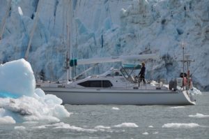 We enjoyed a glorious day just lingering around waiting for the ice to calve some of which were pretty dramatic.


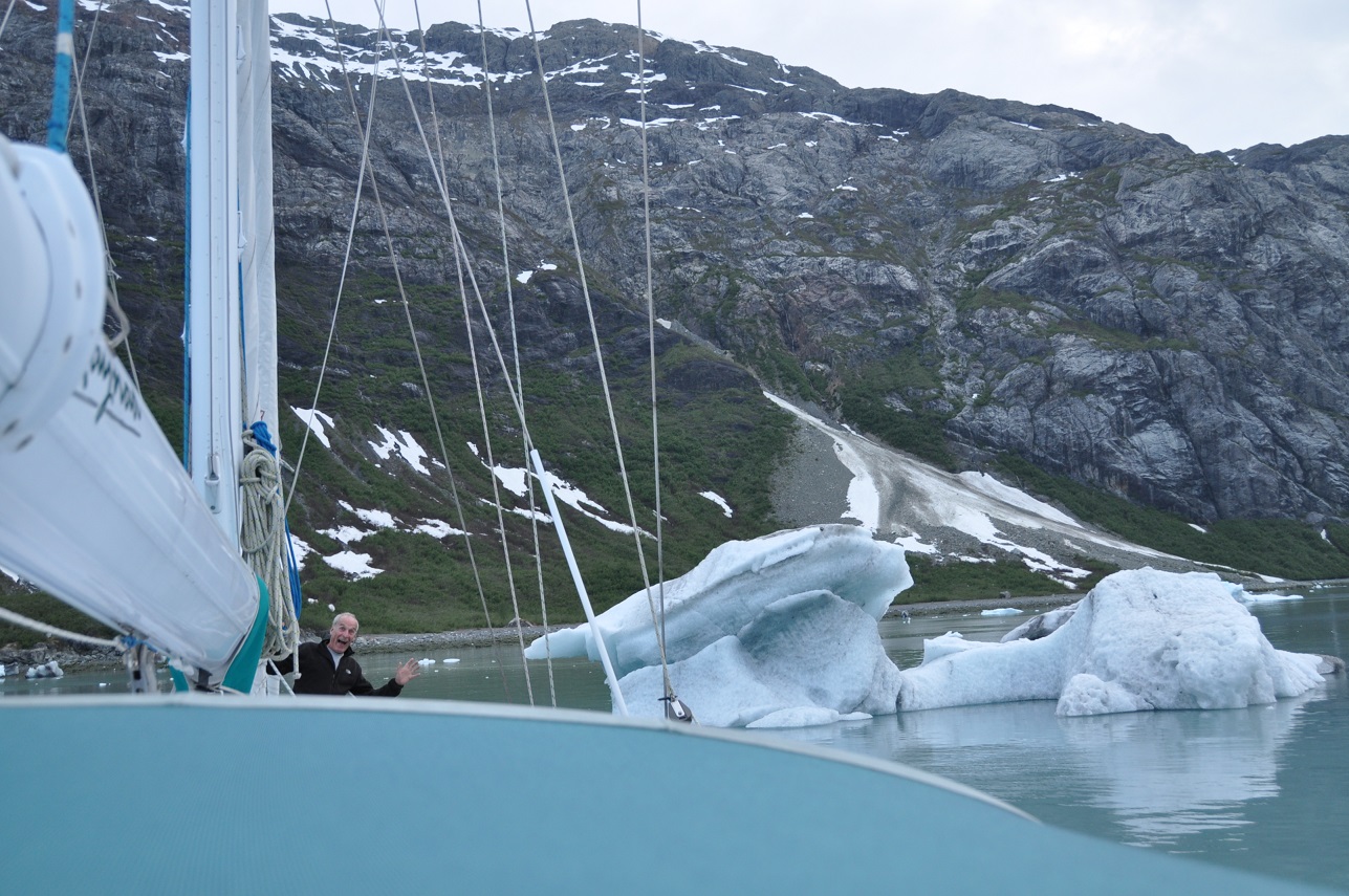
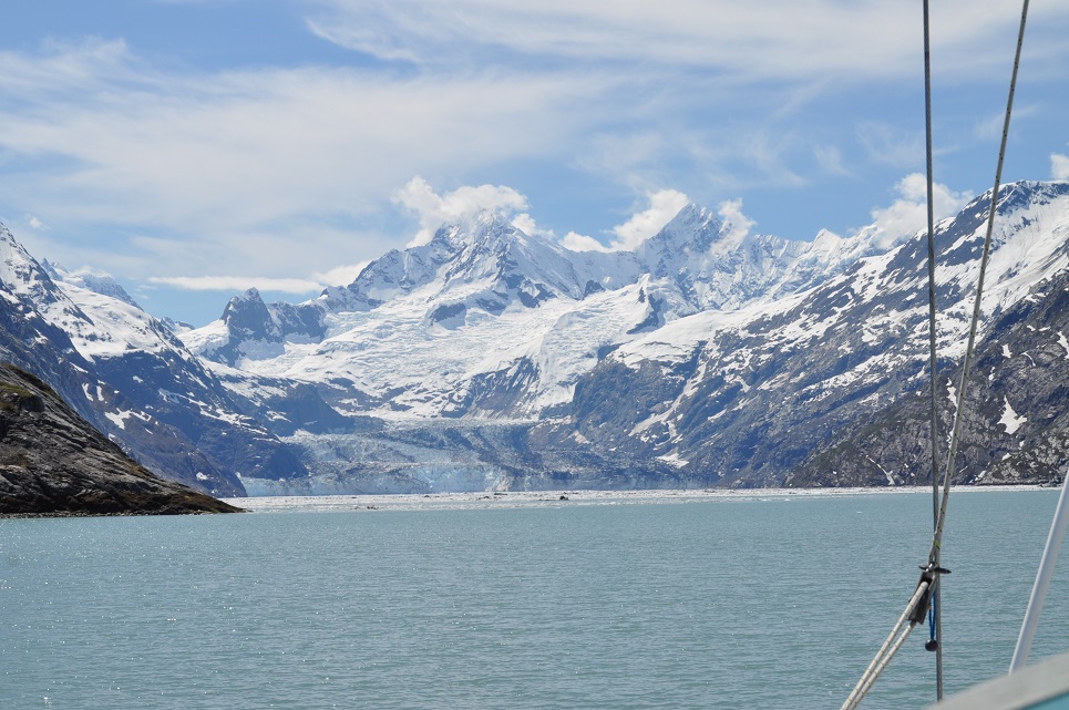
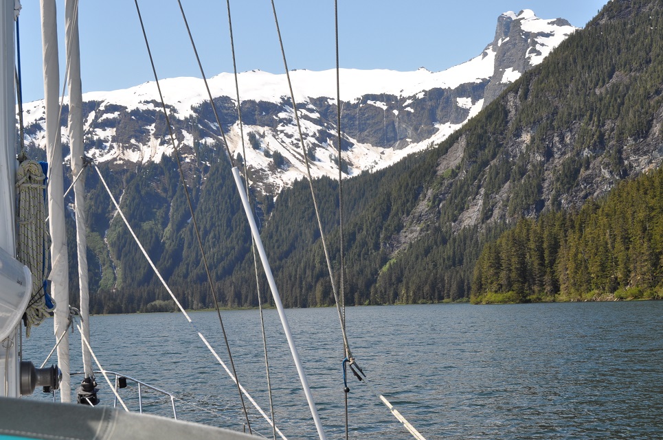
John Hopkins Inlet – beautifully spectacular!
We were awakened this morning by a terrific thundering – I first thought it was a passing ship – John thought it was an earthquake – turns out that the Margerie Glacier was calving for over 15mins! Protected by Russell Island, we did not get any waves or even ice, but John was sure worried. After coffee, we took the dingy to shore and within 10mins came upon two bears in the midst of copulating! What a sight – we were far closer to them than my comfort level, but John was totally awed by the spectacle viewed from on top of a beach rock. Using the binoculars – they were like RIGHT THERE!?!?! Funny how we haven’t seen any bears at all since we entered Glacier Bay and then we come upon these two – amazing:) The only other wildlife we’ve seen was a lone wolf trotting along the beach. The terrain is full of blooming strawberry plants, paintbrush, other small wildflowers and thriving Fireweed yet to bloom.

Now we’re headed over to the Lamplugh Glacier and then to anchor in Reid Inlet for the night, with some more hiking on the moraine there.
It’s beautifully clear today – increasing blue skies and sunshine:)
June 4, 2014 58-55.57N/ 136-48.39W
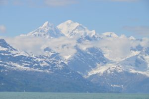 Sunny view over St Elias Mtns
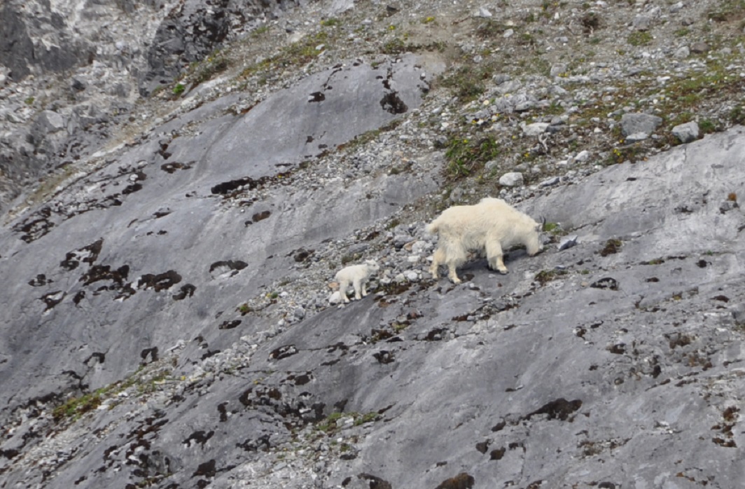
We saw a bunch of mountain goats today!!  Really exciting and we were up close enough to see them without binoculars, although it was super cute to watch the little billy goats (kids) with their mothers:)There were two of them jumping around and trying to keep up as their mothers just walked up and down over the ledges – amazing world these little guys are born into. One of them got so tired, he just laid down when his mom finally got to a flatter spot.
 We’re anchored just around the corner from where we found them and are hoping for another look in the morning, or maybe even to see them cross over to our side for the morning sun.
 June 5, 2014. We’re in a unique anchorage spot right now – not one listed in the guide books, but hopefully ok for the night. It’s lovely though with the sun shining in the cockpit – GTs have been had on the deck and slaw salad eaten there as well:) Nice to have enough wind to keep the bugs away, yet a hard-dodger to shield us.
It’s been a beautiful day – the peaks and glaciers are incredible.
June 7, 2014 58-56.77N/ 136-18.44W
Washusett’s Inlet
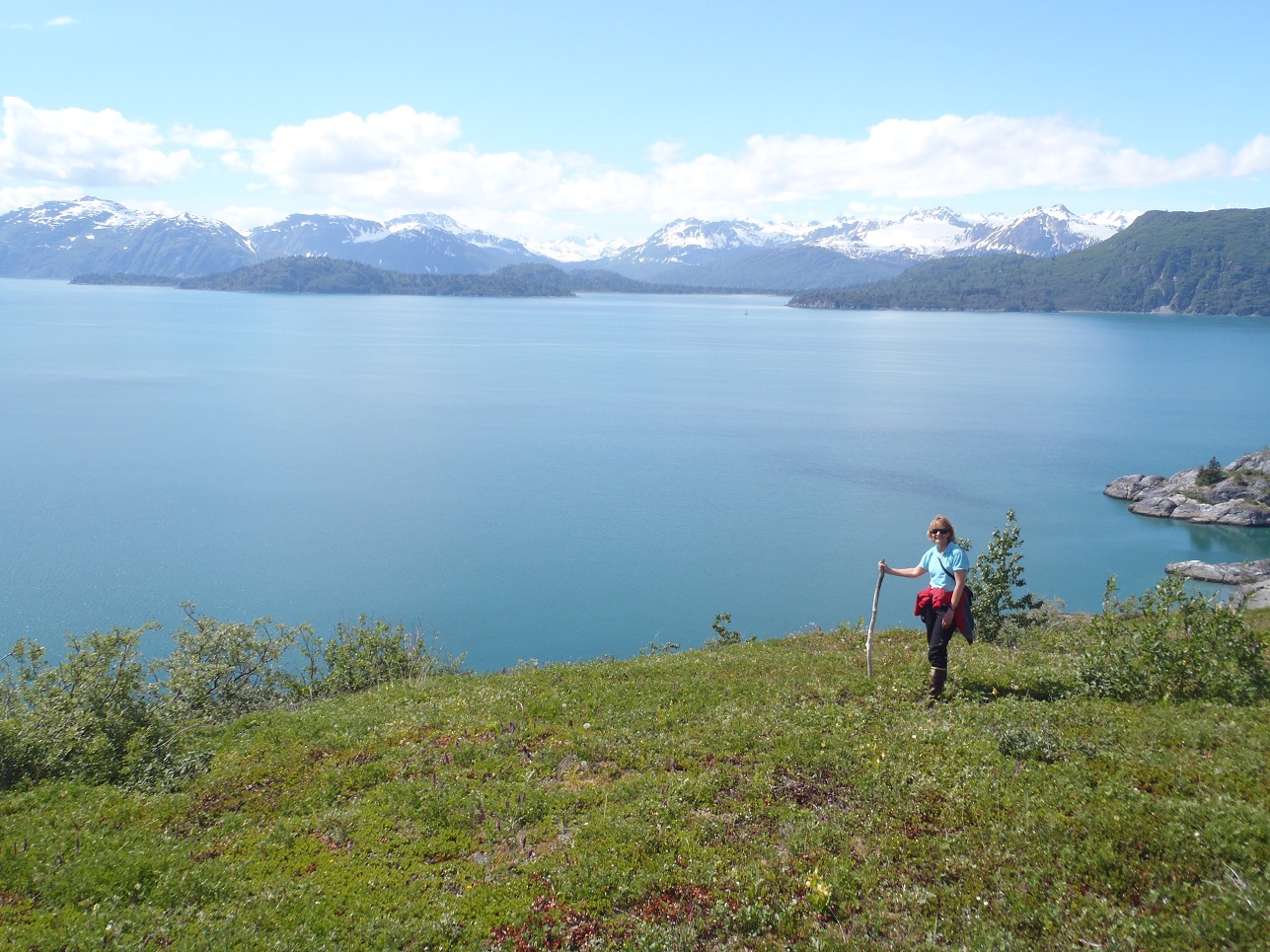
We’ve had an incredible day starting with a coffee watching a herd of mountain goat, then a terrific hike up the mountainside with an outstanding vista out over Glacier Bay, St Elias Mountains and s/v Raynad bobbing in the bay below. A whale even blew by for awhile. We’re now further south in the bay and heading toward Muir Inlet which is actually closed to motorized vessels, but we can still go to Wachusett Inlet right next to Muir, so we’ll try that in the morning. It’s been stunningly sunny and beautiful – forecasts for winds and maybe rain tomorrow – so we’ve been filling the day as best we can.
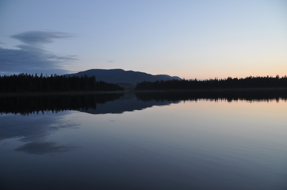
 Raynad is sitting in glassy water in Adams Inlet – Glacier Bay National Park. It is 9am and we are on our second cup of coffee, sitting in our cozy pilothouse with the heater on. Out of the windows, the clouds are low and there is drizzle at times – very like the Weeping Glen – Glencoe. Kayakers have just slipped bye like Special Forces making a landing on a forbidden shore. We caught a big halibut last night but it got away – we will try again this am. Once we leave here we are looking at doing a four day passage across the Gulf of Alaska to Kodiak and maybe on along the Alaska Peninsula to Sand Point.
06/09/2014
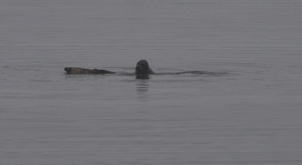
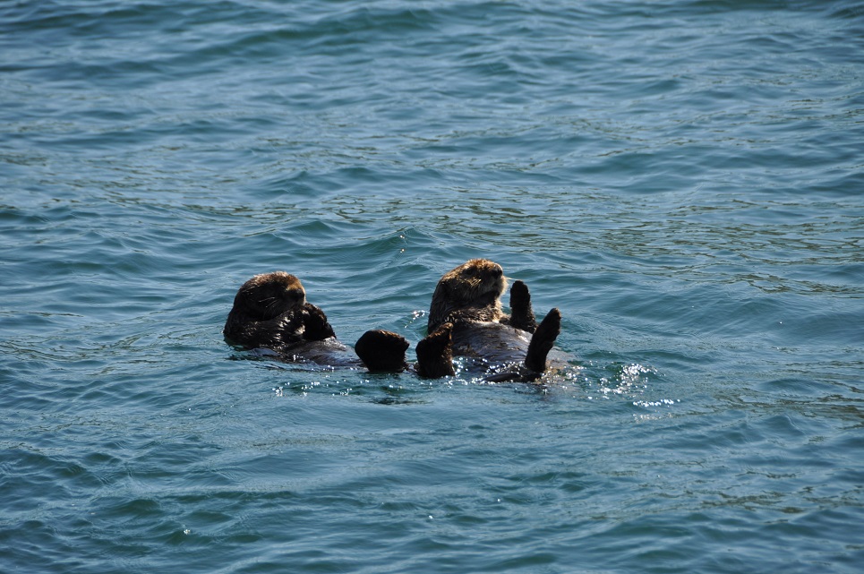
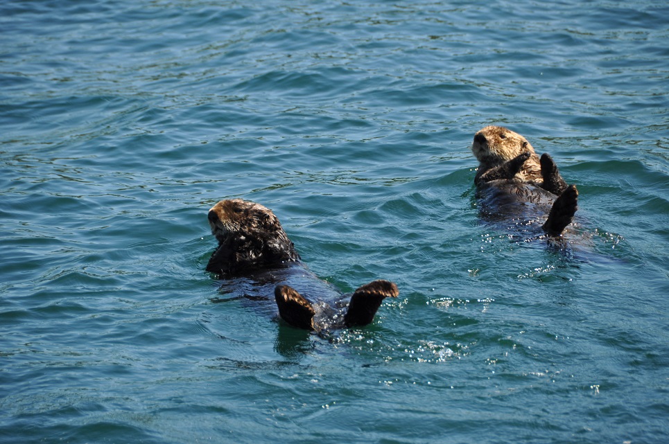
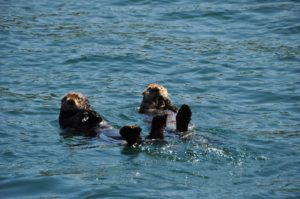
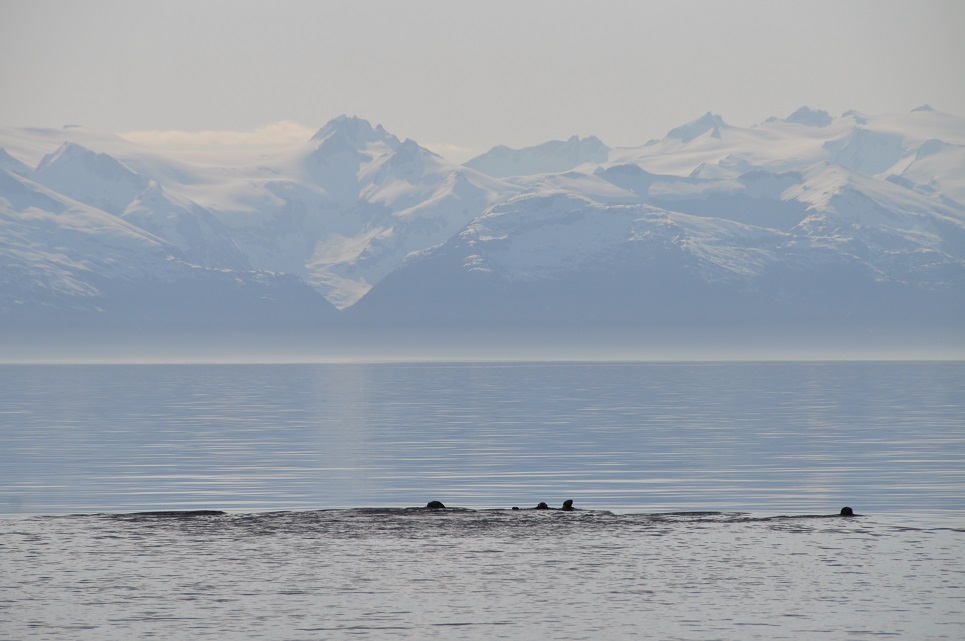
We had a peaceful walk along the beach of the fjord last night after dinner. Several piles of moose skat, yet no moose to be seen yet during this entire trip. Oddly, other than the mating bears and mountain goats, we have seen almost nothing – it’s almost spooky. Some fun marine-life at times: otters, sea lions, dolphins, a couple of whales and lots of sea birds.
Actually, we are mostly in solitude out here – almost no other boats and very few animals. Another rainy, gray, cloudy morning. We’ll probably start heading south to one more anchorage before getting to Bartlett Cove and then onwards. We need to do some laundry, Internet and would like to buy some fresh stuff, but we are too far from Gustavus to only walk, looks like it’ll just be whatever services we can find at the Glacier Bay Lodge.
06/10/2014 ADAMS INLET
Just as we were getting prepared to leave, a young moose came down to the beach. It was lovely and so timid as it nibbled on the beach plants, drank some water (must have wanted the salt?) all the time while looking behind it and out toward us – definitely worried. Within 15mins it wandered back into the bushes and disappeared. Then after leaving the inlet, John spotted a very large brown bear walking down the beach. We watched as it walked up toward a tidal pool, tested the water, and then went swimming! It was great. We thought that it might try to swim across the channel, but apparently, it just wanted a bath. Just like a dog, he shook and shook after exiting, jumped about a bit, then stood up on his hind legs to assess the grassy area and shot off back into the bushes!? So, a good day for wildlife. Now we are anchored in North Sandy Cove and immediately 2 barn swallows flew about the boat and then landed in our rigging looking pretty pleased with themselves.
 June 11, 2014 58-37.52N/ 136-18.84W
Peacefully at anchor in Shag Cove, Glacier Bay NP
Snag Cove up Geike Inlet was a beautiful fjord to wake up in. Cliffs on one side and a waterfall on the other. After coffee we spent the day meandering about including visiting the many sea lion haul-outs around South Marble Island. Pretty spectacular to float around a lovely group of rocky islands watching (and smelling) sea lions in all of their funny antics while gazing over the back drop of the St Elias Mtns. We settled in South Sandy Cove around 5:30pm and immediately went to shore for a long walk around the bays. Lots of bear sign, but no encounters. Just as we were getting ready to leave the boat, a dolphin surfaced right next to us, rolling along as if curious to see just what we looked like. I was able to see its entire body only inches from the surface – it was magical:)
Probably headed into Bartlett Cove and the laundry tomorrow. We’ll need to decide our next course for action.
June 14, 2014 58-15.65N / 136-19.81W
Iniah Cove – Cross Sound Alaska
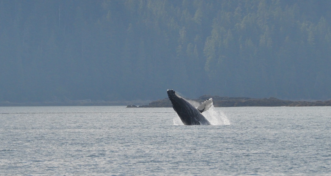
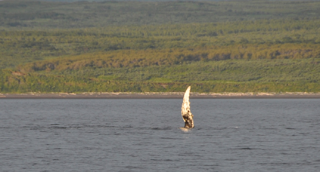
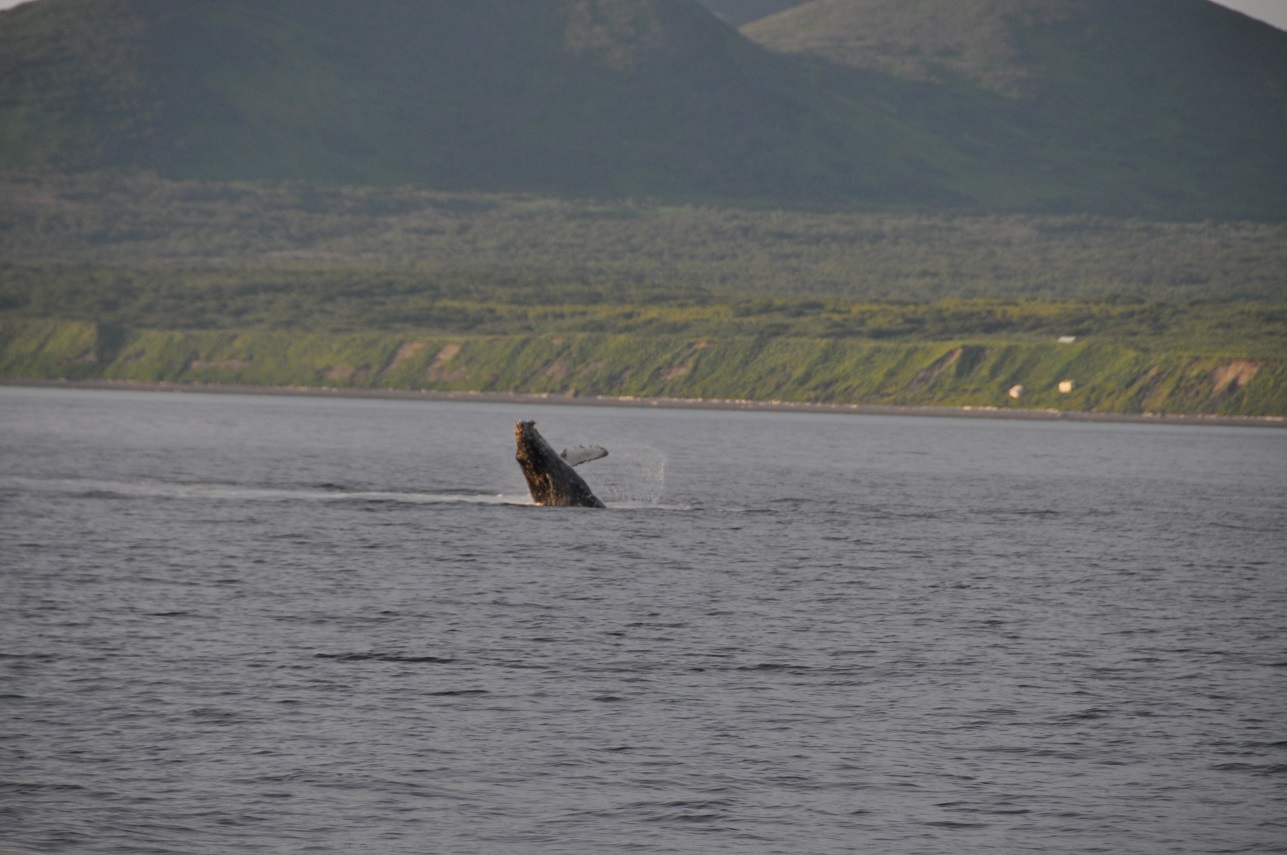
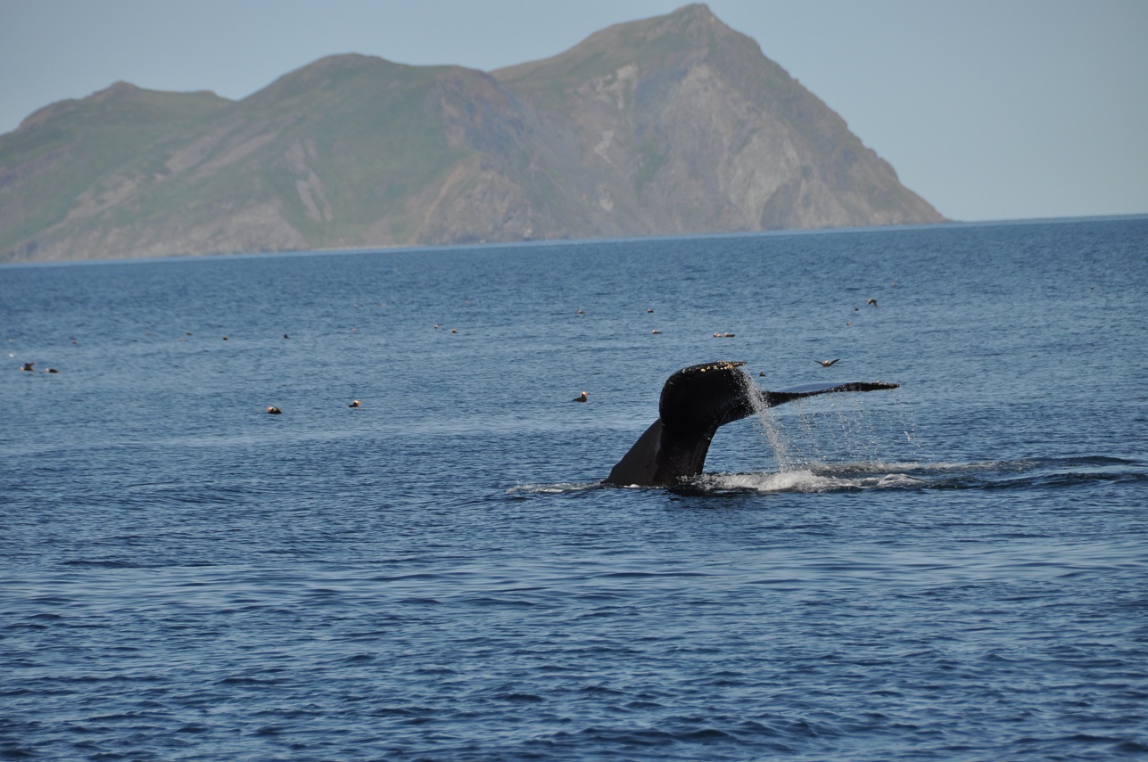
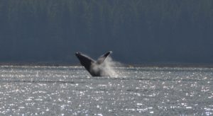
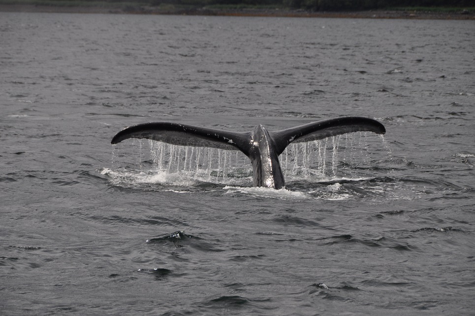
After taking on a little more diesel, we motored out of Glacier Bay with the outgoing tide. Not too impressive at the start as there as so many counter currents in the main entrance, but once we rounded the corner and were into Icy Straits – wow – we were going 8.4kts with only 1200rpms (the boat speed was as little as 2.6-3kts, but the speed over the ground was 8.4!)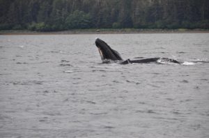 Loved the “free” miles. At the same time, a couple of whales suddenly started breaching and flipper/tail slapping, obviously feeding on the salmon that we have yet to be able to catch.
 It was an incredible show for about 15-20mins. There is something really beautiful about the whale body jetting up out of the water, turning in the classic pose and then falling back into the water. Really amazing. We aren’t seeing great volumes of wildlife, but we’ve definitely had some very unique sightings.
Unfortunately, the weather forecast is a bit stormy, so we are currently anchored and waiting out the weather in the lovely Iniah Cove. A strong minded fisherman has taken over the best spot in the cove having put in a higglety-piggelty dock/buoy arrangement and then strung a very large,long sign stating in large red letters, “Tourism Rapes Alaska.” I’m sure he was thrilled to see us pull in. Not the welcoming sort who is likely to bring us a gift of fish!?! It’s supposed to be a special wilderness area, so not sure how he is allowed to be so semi-permanent and obnoxious.
I’m back to making sourdough bread. My system is bake it when I first wake up, so now we have fresh bread for breakfast. Now if we can just get a fish or two on the line, we’ll be set.

06/15/2014
We are motoring our way up Idaho Inlet. I think John panicked when I brought out 2 decks of cards and started reviewing the rules for Canasta! He’s definitely NOT a card/game guy and he quickly came up with an alternate plan for what we should do. Actually, the weather has laid down a bit and we’ve had an incredible trip across Inian South Pass and across to Idaho Inlet (about 17 miles)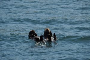 We’ve seen LOTS of whales – breaching, flipping – amazing shows. The place is active with marine life – dolphins following us, sea lions, harbor seals, porpoise and always lots of birds. It’s been a great afternoon – very unexpected. John just finished taking a photo of a beautiful rainbow with intense colors. We’ve 2 miles to go before we can anchor. Enchiladas are in the oven. Still no fish for us to eat yet – bummer – we just keep losing gear.
 June 15, 2014 58-15.65N / 136-19.81W
Idaho Inlet after day watching whales breach, dolphins and sea lions. Total solitude.
June 16, 2014 58-15.65N /136-19.81W
Father’s Day in Earl Cove on the east side of the Inian Islands
Woke up to a beautifully calm, misty morning at the head of Idaho Inlet at a minus low tide. We splashed the dingy into the water and motored ashore with high expectations for a long hike – but alas the sticky, gooey, mud and ongoing muddy marsh grasses shortened the walk. Got to watch a huge brown bear munch away in the grass – he/she will be massive once the salmon start running. Fabulous to have Jodie and Scott call John and wish him a Happy Father’s Day. A joyous start to the day. We were just on our way out of the inlet with hopes of catching some fish. Several hours later, no fish (except John caught a large, angry gray rockfish:( but the sun is shining, we have been entertained by more feeding, flapping, slapping Humpback Whales, lots of porpoise, sea lions, otters and even mating eagles. Now we are enjoying a sunny happy hour GT while anchored in Earl Cove – how fitting for Father’s Day:) We still have a great view out over the sound and can hear the whales and porpoise breathing around us. Pretty amazing.
Winds are supposed to be out of the northwest tonight so this should be a good anchorage. The nasty stuff is coming tomorrow PM, so we’ll move back over to Inian Cove, a very protected anchorage. Tomorrow AM should still be calm though, so we have high hopes for better fishing. At least we have some halibut left in the freezer, so I can make John yogurt halibut for his dinner.
June 19, 2014 58-16.00N / 136-04.42W
Icy Straights off Iceberg Point. One halibut so far. Yes, we finally caught a halibut!! Perfect size for 2 people – about 25-30lbs – giving us about 15-lbs or so of filet to enjoy over the next couple of weeks. Now we’re off back toward Inian Island and then out of Icy Straits, probably toward Lituya Bay tomorrow or the next day. We really liked all of the wildlife around Shaw Island, so may visit that again first and let the seas calm a bit more before motoring out. Kodiak may not be part of the itinerary this summer. We shall see. It seems to be an El Nino year with more weather systems passing through. We’re just out to have a good time – and that it was today catching a fish:)
06/20/2014
back in Inian Cove with plans to head out early in the morning. Looks like a good weather window for us. Very calm day today, tried a bit of halibut fishing, but only caught 4 rock fish and 2 cod. Lots of current, so it was difficult even anchored to get the line to the bottom. Some people who were next to us (and are now in this cove) moved over to our spot after we left and caught 4 small halibut! Of course, they have a fast, fancy boat while we had to move on and catch the last of the outgoing tide in order to get here. Last time we were in this cove, we had it all to ourselves. Now we are one of 5 boats?!?! We anchored first, the others came in about 1-2 hrs later.
GULF CROSSING: 58-16.00N / 136-04.42W
We are headed on a course of 270 toward Kodiak. We’ll see how it goes for today and keep you posted. Winds are forecast to swing SE and then E at a pretty good rate which will hopefully allow us to sail without getting crazy, rough. Of course, SE means moisture, so it’s rainy. Did not go to Lituya Bay because it’s 60 miles up the coast in the wrong direction – we had to make a choice north vs west. Saturday is also the Summer Solstice-appropriate for the Rock’n Roll Marathon! We’ll be out in the Gulf surrounded by water, let’s hope the skies clear and we get to view the sun as it circles around the horizon. The long days will be an advantage for night watches – I’ll enjoy less darkness:) So far we’re managing decent speed and calmer waters. Just put up the main and pulled out the Yankee. Kodiak is 525 miles from where we started.
June 21, 2014 58-12.50N/ 143-01.52W;Speed: 6.4; Course: 255T
We’ve had some brisk winds and rough seas, but are fine. Had good speed for awhile, but the seas are blocking that a bit. Nearly half-way there!!
We’re now 24 hrs into our sail across the Gulf – motorsailing with 6.5-7kt ave. Winds and seas have been building, especially the past few hours. This was in the forecast. Interestingly, even though we have 25-30kt winds, with everything coming from the East – winds and swell – we still need to use the motor to keep our stability and speed up. Raynad is holding up well, we’ve gone over 148miles so far and the trip is just over 520. We are both a bit rummy from lack of sleep and motion, but doing ok. Made some sourdough bread that just finished baking, but it had a rough go of it in the oven getting knocked back and forth. Still looks ok.
June 22, 2014- 58-10.72N /143-31.31W;Speed: 7.2; Course: 263T
We’re over half way across the Gulf toward Kodiak. Seas have had big rollers and the winds got up to 47kts earlier today, but have settled now into 25-30 for the most part. There is a low pressure system over the entire Gulf which we had hoped would dissipate as we moved along westward, but I guess it’ll stay with us. The wind and swell are behind us (from the East) which is causing the rolling. They will likely come around and come more from the north before we reach Kodiak. I always forget how tiring these long trips are. John and I are sharing erratic watches of 1-3 hrs, but sleep is difficult when no matter what your position, the boat rolls you around. We’re both sharing the window side of the settee with the lee cloth up and the jam a pillow between us and the table to try and wedge our bodies into some sort of calm.
2014/06/22 12:06; 58-11.57N/145-01.36W;Speed: 7; Course: 267T 2014/06/22 18:56; 58-07.65N /146-30.24W;Speed: 7.6;Course: 274T
Only 189 miles to go before we can drop the hook and have a LONG sleep in Kodiak! For now, the seas are better and winds more manageable, so we are making good progress on a downwind sail to Kodiak. Lots of low pressure systems hanging around, but the forecast is decent for our arrival. We’ve finally settled into a better watch routine, 3 hrs on/off, rather than our loose “whenever you’re awake” sort of mode which just resulted in neither of us getting sleep as every time we woke up, we’d feel the need to give the other a break – that combined with the rolly-polly ride (we have to wedge ourselves tight between the back of the settee and the table not to be continually rolling back and forth,)was not good. The longer days have been great because even last night when it was low dark clouds and rain, it was never totally dark. I like having visibility:)
2014/06/23 06:10:30; 57-59.57N/ 148-40.09W;Speed: 7.2;Course: 269T 2014/06/23 13:08:48; 57-55.55N/150-02.42WSpeed: 6.8
2014/06/23 17:04:08; 57-53.87N/ 150-51.82W;Speed: 7.1;Course: 265T
We are now 45 miles from Kodiak- sun is out – sails are out – looking good! We’re hoping to be there by 3-4pm today and will probably just go on into the harbor, eat, then sleep:)
2014/06/24 01:24:59; 57-46.79N/152-22.95W
Anchored Holiday Island Kodiak AK. Tsunami Warning in Effect. 8.0 Quake off Aleutians
Made it to Kodiak by 5pm and dropped anchor in the bay of a small island about 4 miles from town called Holiday Island. The crossing was more snarly than the forecasts led us to expect, very tiring, and then when we’re finally only 25 miles from Kodiak, the USCG comes on ch16 announcing an 8.0 earthquake on a tiny island in the Aleutians and issued a tsunami warning/alert!! Kodiak wasn’t high on the alert, but wow, we wondered if we’d have to spend the night at sea – again!?!? Fortunately, no big waves, Kodiak is cleared, and we have found a quiet little secluded bay.
It’s a gorgeous evening, calm, lots of sunshine, birds are singing all around us and we’re nestled in a bay with alternating high rocky cliffs and gravel/sand beaches:) The topography around Kodiak is so different, very sculpted, emerald green and stunning in the sun. I’ve had my shower, now John will scrub up, then GTs, halibut fajitas and alas a LONG snooze. Life is good.
 June 27,2014 57-52.50N/ 152-38.00W
Anchored Larson Bay, Kodiak on our way to Sand Point AK
June 29, 2014
57-49.39N /153-19.06W
Anchored, Uganik Passage, Kodiak West
 June 30, 2013- 57-43.07N / 153-20.83W
Anchored, Sheep Is. Uganik Bay, Kodiak West
Little Villages-Scattered Cabins
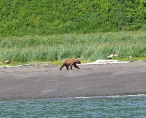
This is an entirely different topography than what is found on the east side of Kodiak Island. There are no trees, only tall bushes and very, very tall grass. Looking out over the steep mountains and terrain, it appears like we could just walk and hike all over the place; however, when we went ashore yesterday, the grass was taller than me! A bit spooky to cross knowing that bears might lurk anywhere. Obnoxiously noisy, we managed a rather long hike between various lagoons. During the hike, we saw two deer and then once back on the boat, we saw two bears right where we’d first been walking. Pretty funny because one of the bears was on the beach and the other up above in the tall grass. The one above kept having to stand up to look at where the other bear was (they were clearly not together.) We had a good laugh because it reminded us a bit of a jack-in-the-box as it repeatedly would walk a bit, pop up and look around, then walk a bit more and pop up again – totally uncertain what to do about the other bear who was totally ignoring it except for the occasionally huff and puff.
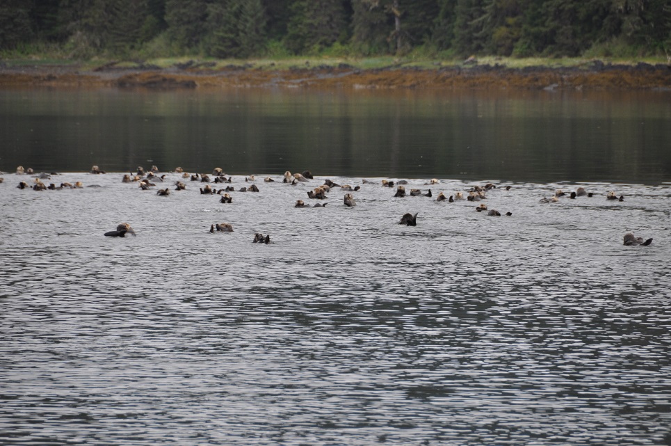
This morning the tide was very low, so we took the little boat around to a neighboring bay where there is a Fish & Wildlife Recreation cabin. We were able to walk for about 2 hours around the beaches over there. A couple more deer, no bear, and lots of otter all rafted together (easily 35-45!) We left that spot and motored around to Village Islands, a rather enchanting spot nestled amongst rocky tufts of islands. Not really a village, just a bunch of scattered cabins and a few fishing boats, so we moved along down the passage and are now at the end of the northeast arm of Uganik Bay near Sheep Island. If it weren’t so cold, we’d almost believe that we were in southeast Asia. The bushy vegetation is thick and grows all the way down to the water, lots of birds singing and squawking, the rocky islets and cliffs are steep broken rock. Tomorrow, we will go over to Larsen Bay.
It’s a misty morning this AM, we are up early and already headed out the fjord to try and round the outside capes before the tide is too against us and the winds kick up. We were in a unique place last night with tall craggly mountain absolutely totally covered in willow or birch trees, various bushes and tall grass. Even the cliffs seem to drip with vegetation. I found it quite beautiful in an almost haunting way. The water was super clear. We took the inflatable out to explore several islet and little passes and were amazed that we could see the gravel bottom at least 12-15 feet below with absolute clarity. Wandering into a little horseshoe bay, we came upon a female bear with 5 cubs! Seriously, I had to keep recounting because I believe that must almost be a record. Two of them looked pretty healty, a third ok, but the other two were smaller and darker. They were so cute! She didn’t like us though and took off before we were able to get very close and of course the tumbling cubs followed right along.
 We’ll be over in Larson Bay tonight. It’s a favorite of the Kodiak people and hopefully we’ll get some fishing in over there. It’s a bit sparse so far. Even the commercial guys are complaining, so it’s not just us. We haven’t really tried much as we’re pretty busy moving about and exploring once we get to places.
June 30, 2014- 57-53.57N/ 153-47.90W; Speed: 6.6;Course: 245T
57-35.70N/ 153-36.75W
Weasel Cove Spiridon Bay, West Kodiak
Wow-we’re definitely in the right part of Alaska now! As we were pathetically trolling yet again through this fishy cove today, the commercial fishing boat who were in fact hauling it in, gave us a very large Sockeye! Then, while at the dock in Port Larson putting water in our tanks, the local peace officer (policeman) gave us a Tanner Crab! We have dined well tonight in our subsistence, boaty lifestyle. It’s late, 11pm, and we just finished eating…subsistence is alot of work…but very yummy:)The sun has been out all day, very hot and very beautiful. The winds for tomorrow are forecast to blow totally in the wrong direction for our next leg of travel, but who knows, it’s only a forecast.
July 4, 2014 – 57-30.76N/ 153-49.88W
Amook Island Lagoon east of Port Larson
July 5, 2014 – 57-38.70N / 154-00.51W
Harvester Island at sunset
 What a diverse day it has been – we started early this morning with calm seas and good weather motoring our way down the west coast of Kodiak Island past lots of long sandy beaches, fishing boats at every cape and even breaching whales; a couple of hours later we put up the sails and enjoyed some brisk sailing for only about an hour before the buster started building and we were heeled over flying at over 9 kts, great speed, but that was only the beginning of the winds and seas, so we reefed the mainsail and pulled out only the staysail, yet we were clicking along at 8kt.
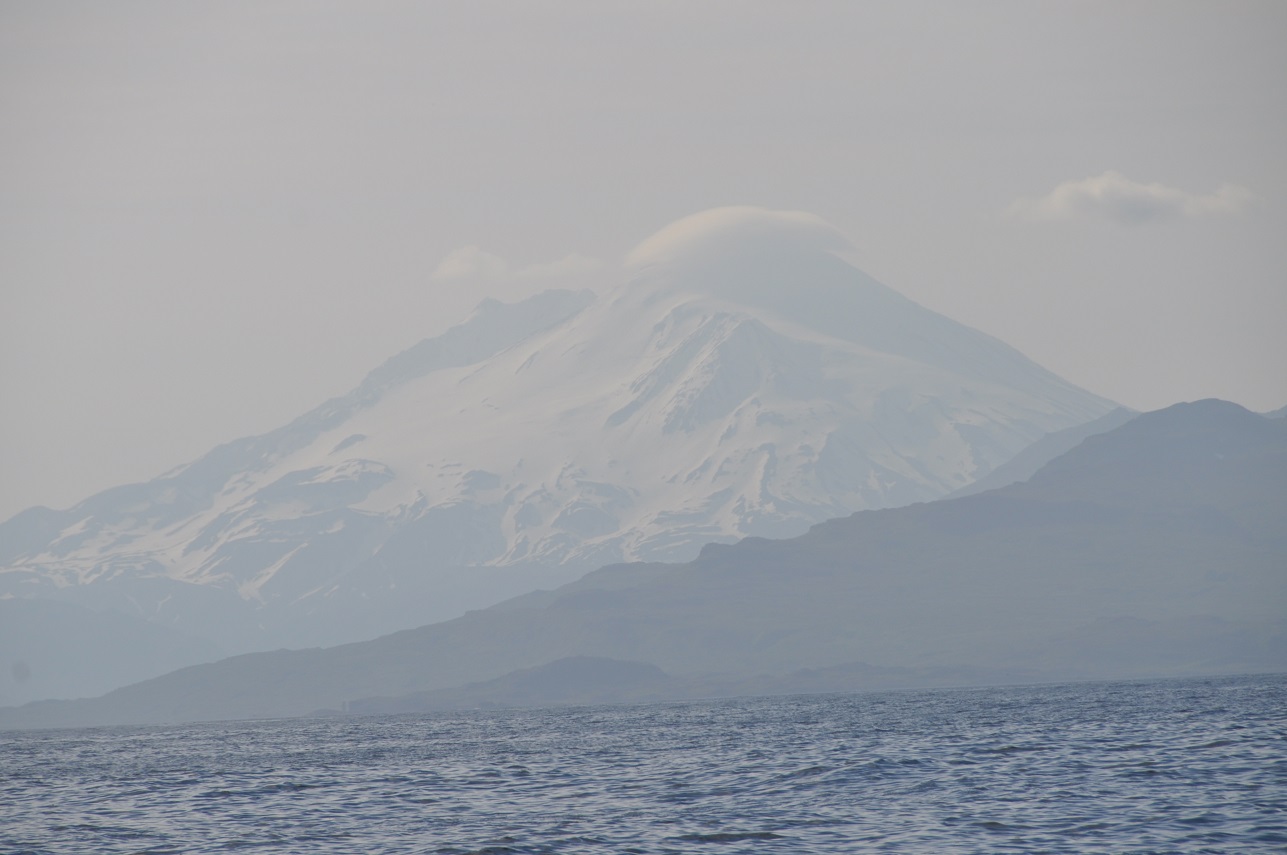
  Because we were coming away from Kodiak Island with a shift in winds, the seas became irregular and quite uncomfortable; now we are once again motoring with only a light winds behind us. With Mozart on the stereo, we are enjoying the spectacular vistas over the many mountains of the Peninsula, especially grand is Mt. Chiginigak -a glacier clad volcano of 8000ft coming nearly strait up out of the ocean. We’re just over half way on what will likely be a 24-26hr trip. I’m hoping for a long and beautiful sunset over the mtn ranges:)
July 6, 0214
56-50.24N / 156-31.60W;Speed: 7.4;Course: 235T
With much relief, we dropped anchor early this AM in Chignik and were at last in bed about 6am. It’s now 1:20pm, we’ve finished our coffee and are ready to explore this little, misty fishing village. We are now totally beyond the “tree line” so just shrubbery and long, thick grasses. This is definitely a birds world down here with lots and lots of islets, steep cliff faces and miles of isolated ocean. We were continually entertained by their busyness. Chignik is located on the east side of a protected bay/inlet and surrounded by tall mountains and cliffs. We’ve anchored on a steep sloping beach near the harbor and church. They’ve built a road from one end to the other, so we’ll go walk that and see what we find. It’s a rainy Sunday, so nothing will be open.
We are sitting in the fog and rain still anchored in Chignik, but will leave soon and go around the corner to another bay about 28 miles away. At least with fog, we shouldn’t have too much wind, which is nice because Cape Castle can be pretty rough. We walked from one end of the town to the other yesterday. These two teenage girls kept roaring past us – one on a small motorbike and the other in a 4-wheeler – seemed to be racing each other. Small town entertainment! Otherwise, it was a pretty sleepy and quiet spot. We spoke with a fisherman, a couple of store people (one small grocery in a room off their kitchen, the other was the Trident Seafood store,) and a young boy/teen on the dock. They “haven’t caught a single fish yet this season!” Pretty tough for people here because they usually start running by June and yet the salmon haven’t arrived yet. New is that the salmon runs have hit in Bristol Bay and Prince Williams Sound, we saw a few boats out around Kodiak Island, but these runs haven’t been as large as expected and in this area, non-existent. There are some salmon out there, but not the big runs. So, not much chance yet for s/v Raynad to haul in the fish!?!?
They have a beautiful clinic building here with a van ambulance parked outside. Quite out of place against the small, rough, trailer-like places in the community. It’s pretty run down here with people living in various shacks of old wood, trailers, containers and/or a combination of these materials. No signs of any wealth except a couple of attempts to create fishing lodges, but even those are pretty sad looking. Apparently there is one health aid, so not sure how they fill the many offices we saw through the windows – guess it provides jobs and a few services. A regular flight just to Anchorage costs $1000 and the ferry only runs 1-2x per month.
We are in an enchanting place called Ross Cove. Surrounding this cove are crumbling mountains and huge deep valleys shrouded in misty clouds and drifting fog.

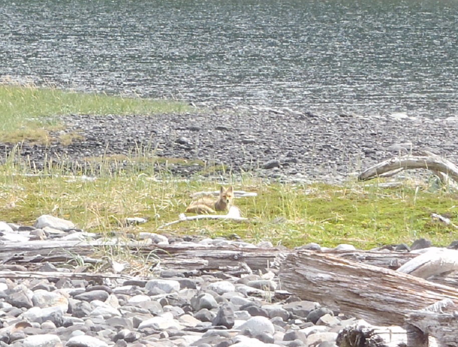
We expected a pterodactyl to swoop down on us at any moment and steal John’s hat! If we survived that then surely the Loch Ness Monster (or similar relative) would get us from behind. It’s like a setting from Tolkein’s Hobbit and Middle Earth. It’s so remote, it’s a bit creepy.  We have walked the long beach where we saw a hungry, skinny Red Fox with a big bushy tail, whom we followed along the spit as he/she eventually found a weasel carcass to chew on. The beach is strewn with massive amounts of timber, rusty old ship bits, old fishing nets, fish and bird skeletons….
July 9, 2014
55-58.74N/ 158-43.23W
Anchored in Mitrofania Harbor
Awoke to rain and fog this morning making our anchorage look even more mystical and prehistoric. Emerging from the fog we made passage along tall, dark brooding cliff faces noted to be over 2000ft high, but hauntingly disappearing into the clouds. Occasionally a brief break in the clouds would wisk us a view of some incredible spires, but mostly our views were restricted to only a few hundred feet at most. We are now anchored in Mitrophania Harbor just outside the shallow lagoon where we took our dingy and explored the narrow spit of land between here and Herring Cove. From the boat it looked to be an easy hike, however, when we got there we found tall grasses, bushes and some impressively huge dunes of gravel covered in wrecked timbers that sloped steeply down into the adjacent cove. Even on a calm day the waves were pounding against the rocks. Nonetheless, it was fun beachcombing, even doing a bit of beach art with buoys and scraps of rope. There is supposed to be an old settlement here, but after some additional exploration, we could only guess where it might have been and didn’t find any signs of previous inhabitants. Now we’re back on the boat, gently rocking and enjoying happy hour:) It’s our reward after all of the hard work launching the skiff and motor, then tucking them away again. Just made it before the rain. Cozy Raynad, fried halibut for dinner, life is good.
July 10, 2014- 55-46.51N /159-20.90W
Anchored in Kupreanoff Harbor – Sandy Beaches
July 11, 2014 – 55-36.67N / 159-38.08W
Fox Bay
We had a pleasant trip into Kupreanof Harbor located between Paul Island and Jacob Island. Before entering the bay, we passed over a long 10-20m sand area and decided to try and fish for halibut. 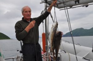 No luck with those, but within 5 minutes we had 3 cod-like fish (not yet fully identified) ranging from 5-7lbs each – good for some fish and chips type eating. Despite additional attempts, we just kept catching these buggers, so that was that! Not bad eating, not nearly as good as we’ve become accustomed to though:) Woke to a beautifully clear morning, so made our way out the south channel only to be met with increasing winds. Had some good sailing, some rough stuff and eventually ended up headed into these winds and swells to round all of the capes and make our entrance into Fox Cove. Not the protection we’d hoped for, but ok. Tomorrow we will travel the remaining 36 miles (5-6hrs)to Sand Point where we’ll meet Scott Saturday night! He leaves Portland on Sat AM and is able (weather permitting) to make it all the way via Anchorage to Sand Point, arriving at 6:45pm:) Sun is still shinning, we’ll hope it continues for Scott’s visit.
 July 12, 2014 – 55-20.03N /160-29.78W
S/V Raynad arrived Sand Point
 July 14, 2014- 55-35.57N /160-35.82W
anchored Albatross Bay with Scott on Board
Left the harbor about 2:00pm under a forecast of 15-25kt winds, but ended up with 25-45kt squally winds! Sand Point Harbor was much more protected than we had thought and the winds much stronger and more ENE than the E/SE forecasted. Always glad to be in a strong boat with a hard dodger for protection, a great engine and autopilot. I was a bit white knuckled at times, but Scott LOVED it, choosing to look out over the cover, riding the waves and swells like a practiced sailor:) We’re well anchored and all alone in this vast area of steep, green hills, craggy pinnacles and rocky/sandy beaches. Happy hour followed by dinner of more fresh Sockeye courtesy of a fisherman John & Scott met last night, plus movie & popcorn ….so life is warm and cozy aboard Raynad. The weather is supposed to be even more stormy tomorrow (hence our leaving today) so we’re planning to stay here and explore the beaches at low tide. Let’s hope the powers that be bring us a bit of sunshine and calm seas for at least a few of the days Scott is here. The country is so dramatic and different, it’s a shame for him not to really be able to see it. We’ll be back in Sand Point on Friday night for Scott’s Saturday PM departure.
So here we are, having braved the harsh oceans to take Scott on this fantastic cruise to experience the wilds of the Alaska Peninsula and it’s a big deal just to see a few seagulls and a couple of eagles!?!? Where is life? Oddly, we found a small, dead halibut that hadn’t even attracted birds or bears – a little spooky really. Best we can figure, this bay is perhaps a bit poluted with heavy metals from the very red, probably copper-filled mountains around us, so maybe not a great spot for salmon to breed, hence not a single jumping fish anywhere. The winds continue to howl and we’re visited by ocassional squals of rain. Tomorrow we’ll poke our nose out of this bay and either go north or southeast, depending on the winds and waves. Let’s hope the next spot brings more exciting wildlife – even the birdlife here is pretty dull. One, lone Loon was the only excitement (no guillemots, puffins or muirs here which is odd.) At least we had a good long walk around the bay at low tide and didn’t worry about bears since we only found one hole that a bear had probably dug and a few small bear prints, otherwise not even much sign of life.
 July 16, 2014
55-44.21N /160-08.66W
Anchored American Bay with Scott on Board
Happy Birthday for Scott drinking coffee and eating granola parfaits on a sleepy morning as Raynad sits on mirror calm waters surrounded by craggy crumbling cliffs and waterfalls.  We had a late night having gotten into this bay about 6pm, Scott did a bit of fishing (caught 3 sucker fish, one we kept for bait) and I made pizza which we followed with a late movie. Everyone slept in so it’s now 11am and we’re just getting done with breakfast! Lazy buggers! Going to launch the inflatable and do some exploring of the beach/valley. No signs of wildlife other than a few birds. I guess we’re just in the wrong area for viewing bears on the beaches and otters in the water. Could have chosen better, but we didn’t know. There is no cruising guide for this area, just the pilot guide about anchorages for commercial boats. I doubt that more than a handful of boats come into this bay each summer. Commercial fishing has been super slow along the Peninsula which has everyone worried.
 These are the fishing grounds for the Chignik Tribe and until they catch a certain number of salmon, no one else can come in to try and last we heard hey hadn’t caught a single fish in Chignik!?!? The Sand Point fishermen are fishing around the Shumagin Islands and have done alright there, but still under the usual. The distances are great here and with the uncooperative winds….it’s tough for us to move to a different region with Scott’s short visit. Yesterday we motored the 6 miles out of Balboa Bay with the wind gusting off and on between 15-25kts just off our port bow, but as we turned 120 degrees around the Cape, the wind just kept following us close on the nose and as we turned another 30 degrees to set our course, the wind stayed on our nose – go figure!?!? So, motor, motor, motor into the wind and seas we did for the 26 miles up here. Scott slept the whole way. We thought of heading off across the waters to a different anchorage, but with the west winds in the forecast, that would have meant getting headed and having a rough return, plus we’d been there and those bays were much more exposed with no special features. At least the scenery is very unique and stunning here. We might try to go into deeper water and see if Scott can drag up a halibut or something larger and more exciting for his birthday:) There is also some drift wood on the beach and I have hot links, so might do a bit of a beach fire. He wants chicken curry and lemon pie for his birthday supper – so that’s what we’ll do.
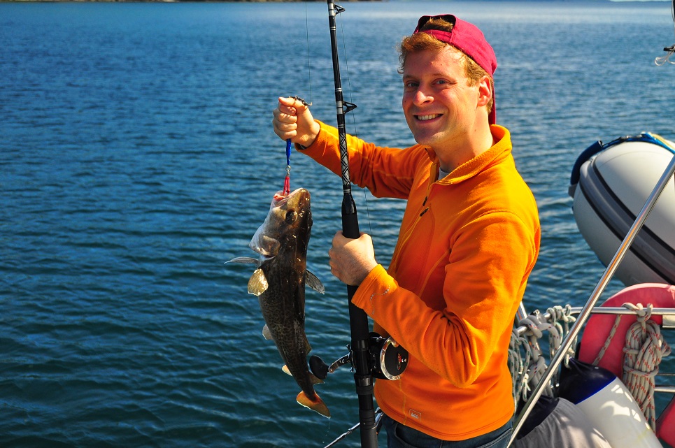
July 27, 2014
55-44.21N / 160-08.66W
Anchored Orzinsky Bay
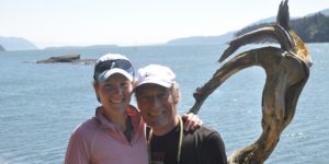
(written by Scott)
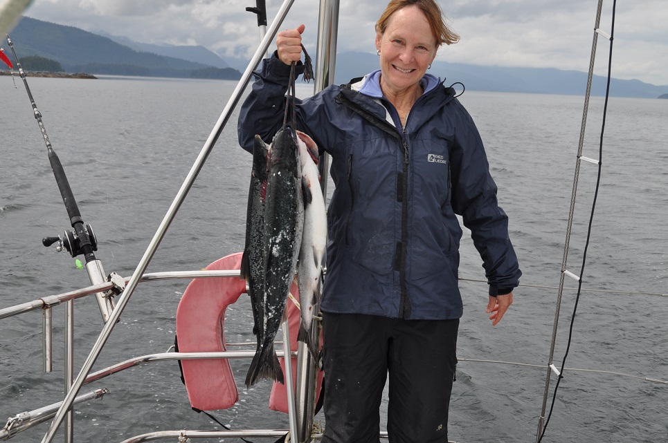
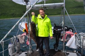 I caught a big halibut today, about 30 pounds! I’ve attached a small picture. Mum is cooking it for dinner. I also caught a cod and two rockfish.
 We met two people who were monitoring salmon. They gave us a live sockeye salmon! We invited them on the boat for awhile during my birthday. We also got to see their place and how they monitor salmon. Mom made some chicken curry. There was a vast beach where they stayed at where I saw a mother bear with three cubs and a male bear. There are a lot of puffins and seagulls in the ocean. I’ve also seen glaciers and there are a lot of mountains. The only negative is that everytime I go hicking through the grass, I get allergies. I am doing well.
July 18, 2014
55-44.19N/160-08.69W
back in American Bay
We had a fun time yesterday seeing the fish weir and meeting up with Kirsten, Karl and their two dogs (the dogs were SOOOO sweet:) and then coming back to the boat and fishing right from where we were anchored! Scott was very keen to hook some big fish and worked at it for several hours. The halibut had been playing with his bait for awhile before we finally hooked it – great eating last night! We shared a side of it, plus a goodie bag of coffee, beer and GT with Kirsten and Karl, just dropping it off with them at the beach as we desperately tried to keep from getting swamped in the growing wave action. Since that anchorage had been rolly-polly the night before and the winds were picking up, we came back around into the dramatically beautiful American Bay. Sunshine and great views – we had a lovely evening. We’re awakened at 4am with a strong wind shift bringing increased winds down off the mountains making Raynad swing and shutter about on it’s anchor and eventually drifting – that was some unexpected excitement. Now it’s a sunny, windy morning with coffee and fresh sourdough bread. We’ll head back to Sand Point (30miles) today since Scott leaves tomorrow night on the 7:30pm flight for an all-night return to Portland.
 July 19, 2014
55-20.38N/ 160-20.44W
Fox Hole – Lots of whales and puffins. Scotts last anchorage
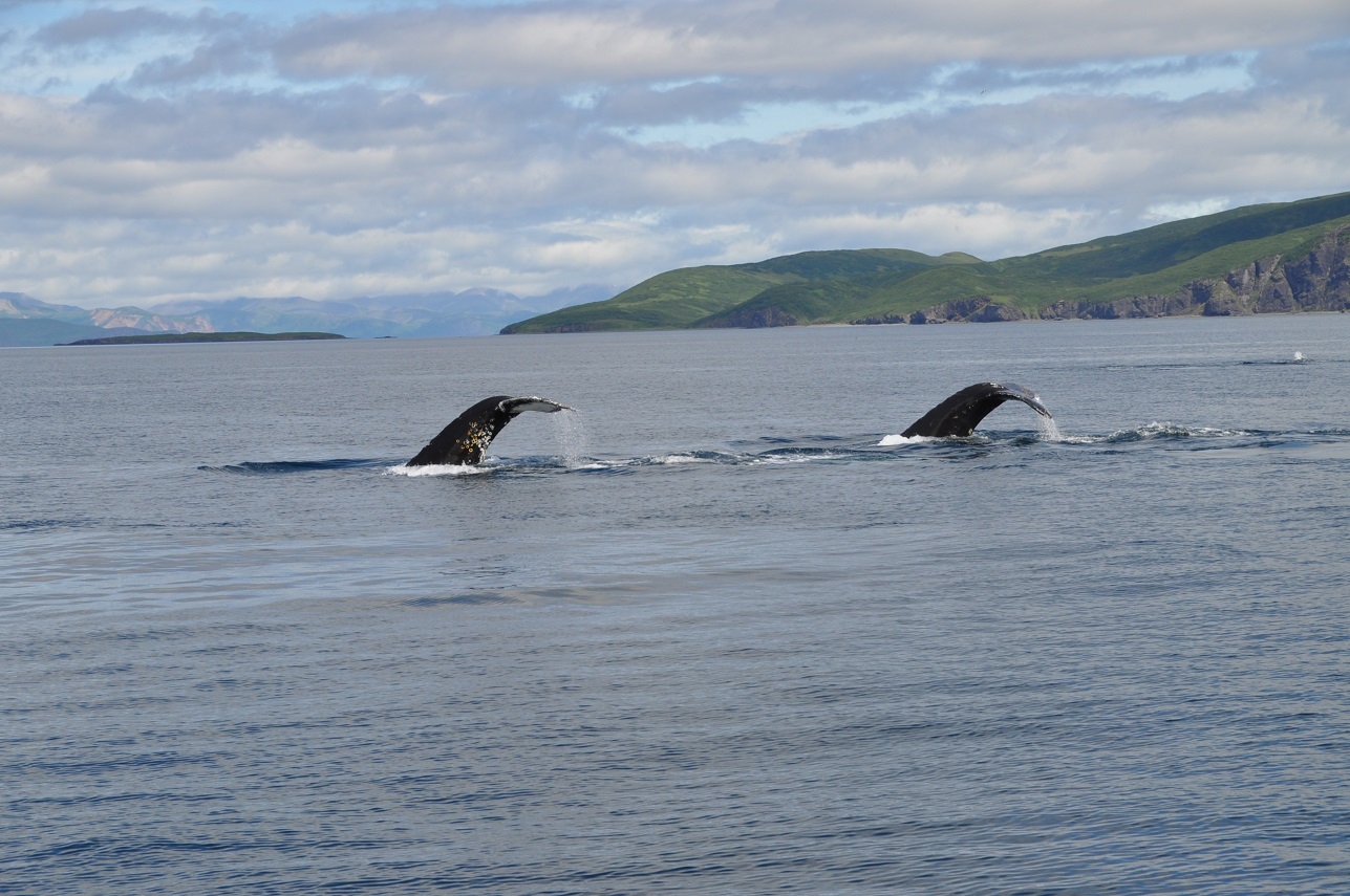
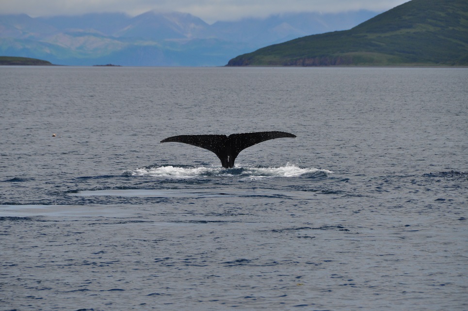
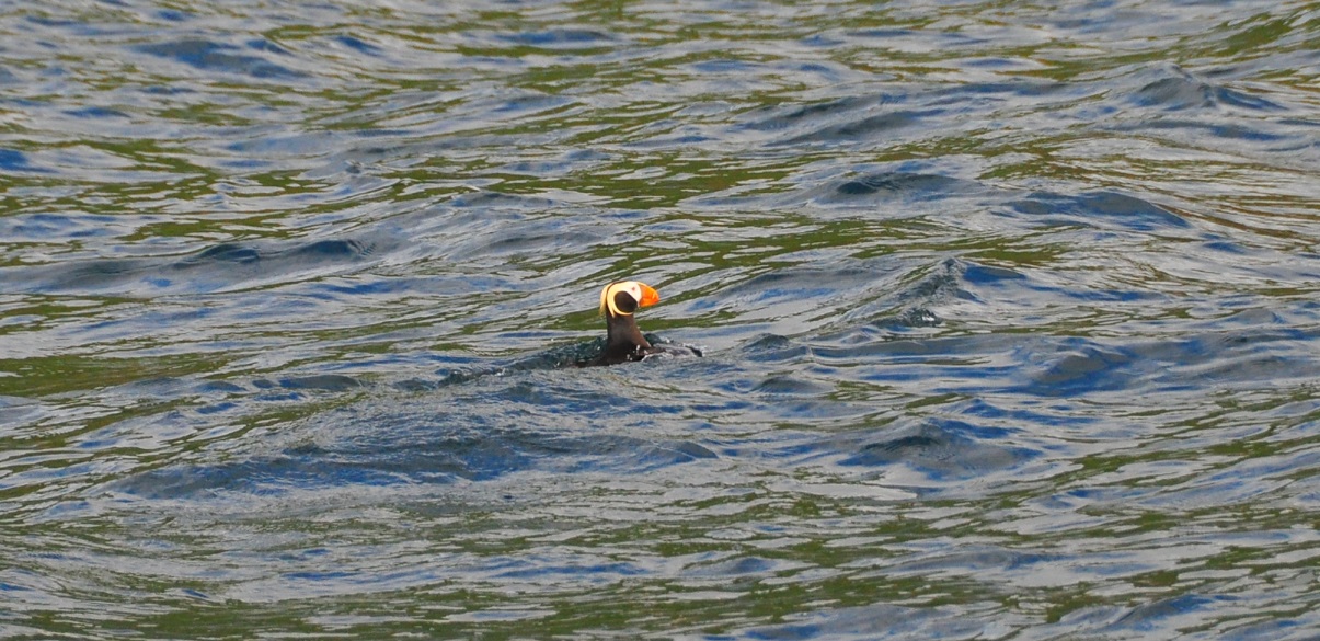
 A good day yesterday…lots of whales which we had not seen before and a huge colony of Horned Puffins absolutely filled the air. We sailed between the whales and the puffins – pretty nice. Scott was up on the bow snapping away with his camera. He was really excited about how close the whales kept coming to our boat (we were sailing.) Rather than go into Sand Point, we came around the east side of the island and are anchored in Fox Hole. It was on our way here that we had such a great showing of whales and puffins. Commercial fishing boats are all round so we’ll drop a line or two in the water on our way around to the harbor (about 8 miles) and hope to bring up something exciting:) Scott’s vacation has gone all too quickly. He leaves tonight on the 7:30pm flight and go all night arriving into Portland at 5:30am to start work on Monday.
July 19, 2014
55-20.01N /160-29.81W
back in Sand Point harbor
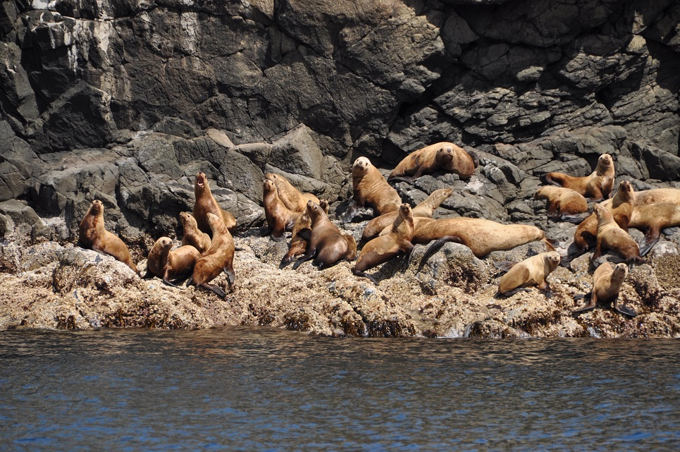
After a rough start to Scott’s visit with rain, gusty winds, low clouds and a dearth of wildlife, things just got better and better every day. American Harbor was stunningly beautiful and we enjoyed some great hiking to several huge waterfalls. Orzinski Bay brought sunshine, bears, Sockeye and halibut, plus the friendship of F&G weir workers Kirsten and Karl. But the crown of Scott’s week turned out to be an unexpected detour toward Fox Hole on the east side of  Unga Island (Sand Point) where we sailed through pods of Humpback and Fin Whales and an enormous colony of Horned Puffins on High Island. After Scott caught another large Pacific Cod following breakfast, we trolled around the other side of High Island and enjoyed even grander views of the puffins (literally thousands of them – they looked like a swarm of bees!) plus a large group of Sea Lions lounging in the sun – boy did they put up a fuss when we showed up, but only two of them left their ledge. Then as we came around the island, a bunch of fin whales were feeding and just kept coming towards our boat, one swam literally right under the bow where Scott was watching! It was amazing,(even a bit scary) they just loved hanging around the boat. I’d stopped and they sauntered away, but when we started up again, they came back!?!? Scott got some great photos even with his small little camera and was super excited about the whole encounter. It was a terrific finish for his holiday and made John and I feel so much better about our choice of journeying all the way across the Gulf and rendezvousing with Scott in Sand Point. He’s now on Penn Air and headed to Anchorage for his red-eye trip to Portland. It sure was nice having him on board and getting a chance to share some unique experiences.
July 21, 2014
55-20.44N / 160-20.42W
 Fox Cove – Depart in am to cross Gulf to Sitka – 5-6days
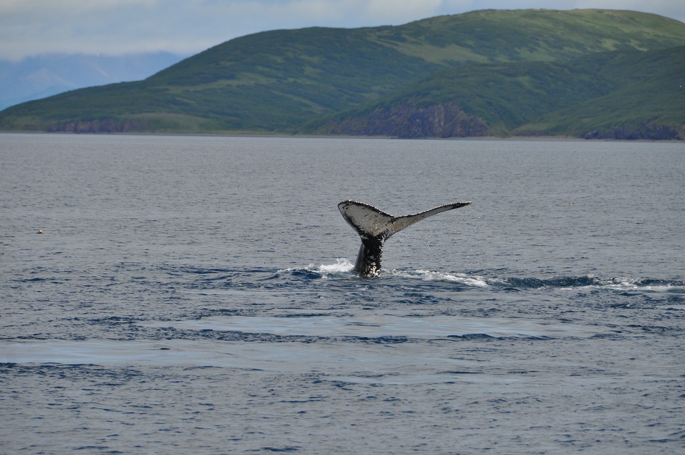
John and I motored around back toward the Fox Hole anchorage that we experienced with Scott. Once again, we were awestruck by the amount of life happening around this one rather smallish island. The Fin Whales swam toward our boat, although not nearly as dramatically as before, there were lots of Puffins and the Sea Lions continued their grunting complaints. The water was so calm and the scenery so delightful, we just decided to make a couple of GTs and just bobb around on the water watching everything. It was a perfect way to finish this leg of our cruising season. It’s sort of tough to leave just now because the weather is warm, sunny and pretty calm. We haven’t had very many calm, sunny days this summer so we are really relishing in and absorbing the moment.
GULF CROSSING, SAND POINT to SITKA
July 21, 2014
55-21.99N / 160-05.70W; Speed: 6.3; Course: 78T
After a lovely morning coffee watching the Horned Puffins and Sea Lions on High Island, we’re now heading out into the Gulf of Alaska, all sails flying, 17kts wind and sunshine. We’ll pass the other Shumagin Islands south and see bits of the south end of Kodiak and the higher mountains of the Alaska Peninsula for awhile. We expect this passage to take about 5 days. Where we land will depend on the winds and weather since we could either go into Sitka or Cross Sound toward Juneau. We so appreciated having a few nice days around the Sand Point area prior to Scott’s and our leaving.
July 22, 2014
55-35.28N / 158-26.43W; Speed: 7.0; Course: 79T
Although we had some decent winds to start the voyage, they have continued to lighten so we are motoring. Nonetheless, there is still a swell on our beam, so we are rocking our way back and forth along the ocean. Just spotted a small pod of Killer Whales, the first that we’ve seen this summer. We can only guess that the fish jumps and splashes that we then saw ahead were likely due to that same pod!??!
July 22 -continued
56-05.53N / 154-52.33W;Speed: 8.1; Course: 80T
We’re surfing along the waves with 20kt winds and a bit of a current behind us managing 8kts, which is good for us. We’ve gone about 200miles so far. Some fun bits were seeing a pod of Killer Whales last night and then John had a flock of small Storm Petrels flying all about the boat during is late night watch. They seemed fascinated by the lights and sails, dashing in and out between the sails and even crashing into them and sliding down onto the boom – and one even landed in the cockpit! John gave it a bit of a rest and then carefully picked it up and launched it into the wind:) Skies are waters are gray, gloomy and frothing, but there is hope that the sun will break through for at least a part of the day. We have podcasts and lots of seabirds to amuse us.
With no moon, it’s super dark out! Seas are a bit rougher than I’d hoped they would be and suprisingly so with the winds. In the South Pacific, we would never get such rough seas out of 20kt winds. At least they are lots better than on the way over. I’ll be glad when things settle down even if it means motoring.
July 23, 2014
56-08.58N / 151-12.57W; Speed: 7.1; Course: 83T
Was a roughish night motorsailing downwind with rather large seas swooping the boat about. Captain John let me sleep through all of the darkness waking me with the sunrise to change the sails. He had headed off rather than get me up to change the main during the night. With no moon, it’s super dark and can be very disorienting. Fortunately we caught a calmer moment and were able to manage the main without mishap. Now we’re only using the Yankee (foresail) because it’s much easier to change and manage with the big swell and gusty winds that vary from 15-30kts. Despite the boat movement, my coffee addiction prevails and I did manage one cup of drip coffee:) John is fast asleep and hopefully will be able to get a long rest.
July 23 – continued
56-08.58N / 151-12.57W;Speed: 7.1; Course: 83T
Although we had lots of seabirds while transversing through islands and around the cape of Kodiak Island, now that we’re out in the Gulf, most of the birds are gone and we only see the whale. We had some fishing traffic while over the Albatross Banks, but even that is gone. We’re pretty much alone out here.
We’re back to having small fast Storm Petrels and Sooty Shearwaters soaring around the boat, even the occasional Black Footed Albatross flies by. The Petrels like to fly between the sails, the Shearwaters investigate the wind generator or just give us the eye as they fly over the cockpit:) They are lovely. Winds and seas are settling into their new west setting pattern and the sun keeps peeking out between the clouds. One large fuel tanker, but otherwise no other boat traffic. That was a bit of excitement though as, believe it or not, we were on a collision course – go figure – all this wide open ocean and the only traffic we have for over 15 hours is headed right for us!?!? Love the AIS system though, so we had lots of warning and were able to call out to the bridge on the tanker; that was a comedy of it’s own as the heavily accented guy on their radio tried to communicate with me. First things got worse as they turned more toward us, and finally they really altered course the opposite way so we were a good 2.5 miles apart when they crossed behind us.
July 24, 2014
56-37.85N / 146-26.89W; Speed: 8.0;Course: 81T
Overnight the winds have died and the seas have calmed, now we’re just swaying along as we motor our way across. Should be like this all day before the winds start building from the SE. We’re hoping to be nearly to Sitka before that happens as it will head us and make that progress more challenging. We chose to go so quickly after Scott left because we still had a forecast for W, SW or NW winds. Anything E or SE will make it more difficult for us to make good time as the seas here build quickly and smashing into the winds, waves and seas tough going. All-in-all, sailing in Alaska is very different from the South Pacific. In the south we had more dependable trade winds which tended to be pretty steady, minus squals, and didn’t seem to kick up so much swell. I also have to remind myself that making this Gulf of AK crossing is much like making the big trips to and from New Zealand.
Time: 2014/07/24 20:25:34
Latitude: 56-40.88N
Longitude: 145-03.47W
Speed: 7.1
Course: 85T
to be continued…….


Click here for: 2013 WA-BC-Alaska Photo Gallery
Fall 2012- Spring 2013: SAN JUAN ISLAND, WA USA
We enjoyed several short trips around the San Juan Islands of Washington. With the boat moored in Anacortes, it was easy to get away – one of favorite get-a-ways became Strawberry Bay (48:33.71N/122:43.67W) in Cypress Island which was just around the corner. Orcas Island is beautiful, although very populated and devloped, we enjoyed anchoring in Deer Harbor (48:37.04N/123:00/27W). We enjoyed spending time with our family both on and off the boat.
April 22, 2013
(48-36.99N /123-00.11W)
Lopez Island Mackay Harbor (San Juan Islands, WA)
We just returned from a daytrip sailing around the southeast side of Lopez Island with Lexi and Kirm – even spied on Paul Allen’s gorgeous estate:)
WASHINGTON to ALASKA, Summer Season 2013
May 1, 2013
(48-40.26N /123-11.19W)
Stuart Island, San Juan Islands, WA; Beautiful, sunny day!!

 May 2, 2013
(48-45.78N/122-54.22W)
Sucia Island, WA
This is a great spot, accessible only by private boat and maintained by the Blaine Yacht Club. The island is covered with hiking/running trails, lovely beaches and picnic areas, no cars – only boats!
May 3, 2013
(48-59.54N/122-45.66W)
Blaine Harbor to pick up Jodie!!
 It’s a gorgeous sunny morning with promises of more days like this to come:) We are looking forward to having Jodie on board again and will do our best to make it a relaxing and fun trip for her. As an Emergency Medicine Resident at UW in Seattle, she as been smashingly busy and overworked. She’s been instructed to come ready to chill out and take in the soporific motion of the boat while gazing out over Mt Baker, the Cascades and even the Olympic Peninsula serenaded by screeching seagulls!
 May 4, 2013
(48-45.73N/122-54.23W)
Sucia Islands with Jodie:) Dropped anchor with the sunset! Had to use my headlamp to see what I was doing. Happy Hour, wine dinner, sleep… Cheers!
 Looking forward to some great time with Jodie for a couple of days.
BRITISH COLUMBIA – Cruising up the Inland Waterways of B.C.- Canada
 May 6, 2013
(48-53.39N/123-23.67W)
Montague Harbor, BC Canada – another beautiful, warm day!!
We’re in the eastern area of Vancouver Islands rather than up around the city of Vancouver – much prettier:) Another lovely day here, perfect except for NO JODIE ON BOARD. We’re anchored in a lovely bay -Checked into Canada via satellite phone (amazingly efficient and easy system they have) and enjoying a happy hour/sunset out on the deck.
 May 7, 2013
(49-43.50N/ 124-10.32W)
Blind Bay -great sunset and calm waters
We had a relaxing start today and made about 68 miles north to anchor under bright sunny skies in Blind Bay. Took us multiple attempts to get the anchor set due to the the smooth rocky bottom. It’s an incredibly calm and beautiful night with a late sunset (9pm) after a day of super sunny skies. We couldn’t ask for better weather, although a bit more wind would make Captain John happy. Managed a a bit of motor sailing and with the currents in our favor for most of the day, our time was good (minus a deviation for the Canadian military training exercises??) Tomorrow we’ll work to time our passage of Seymour Narrows to match the tides/currents. It’s a fun and very fast passage if you get it right but weird to calculate because the currents at either end seem to go the other direction – very bazaar- but we got it right last year and will hope to do the same this time around although with the time of day, we’ll need to anchor overnight in one of the protected coves in the middle of the long passage. Last year we were able to start really early and just keep going for the full 86+ miles.
May 8, 2013
(49-43.88N/ 124-17.72W)Speed: 7.0; Course: 289T
Sailing toward Seymour Narrows
Another lovely sunny day in BC:) Woke to a glassy calm morning, absolutely quiet, almost hauntingly so, and took off after a leisurely coffee. We’ll try to catch the tides up the Narrows and beyond a bit, then overnight and catch the tide again about 5am.
May 8, 2013
50-21.08N/ 125-27.96W
Turn Island for the night to make an early start
For now we are keeping a pretty quick pace, and it’s very pleasant because of the fantastic weather!! Really amazing weather and the vistas are even better this year with the various snow capped peaks on the horizons – definitely more dramatic. After calculating, discussing, analyzing and arguing…we hit the Seymour Narrows at exactly the right time, and yet the tides and currents were very disappointing. Nothing dramatic, just slack tide at Ripple Rock which is safe and easy, but alas no real spikes in speed. Last year we topped at 13.5kts through that area..this year we headed into a current that brought us back to 1.3max kts (nearly going backwards) and then were rewarded with nothing better than 10. We’re set to rise at 6am and try to catch the currents in the morning, take a break and then catch them again for the evening.
 May 9, 2013
50-25.97N/ 126-00.19W; Speed: 10.0; 302T
Passing Johnson Strait – have hit 12.8kts!
We started out at 6am in order to catch the tides in our favor and managed to get up to a speed of 12.8kts!! Mostly average 8-9, so made good progress until the turn of the tide and reversing of the currents, so we chose to find an anchorage and wait it out for a few hours. I’ve mixed up another batch of sourdough bread (a single batch this time!!?) and we’ve already put on the pot of tea. We’re looking at our options for a 4 hr passage with the next favorable tide. Not sure if we’ll go the inside routes up Northern BC or head out into Queen Charlotte Sound and make an overnight. The sun is obscured by thick low clouds so we can no longer enjoy the lovely vistas of snow covered peaks, but at least it isn’t raining yet. That’s in the forecast as a low passes through over the next few days.
May 10, 2013
50-35.96N/126-40.59W
Berry Island – BC
After a rather dramatic and shortened crossing yesterday evening, we escaped into a very calm and protected little bay waking up this morning to clouds down nearly at water level. It’s one of those misty mornings and we’re just relaxing over coffee – a nice reprieve from yesterday’s brief and unexpected slamming.
May 10, 2013
Anchored (50-50.31N /126-55.49W)
Dickson Island inside Popplewell Point. Beautiful Vista at sunset.
 We awoke this morning in our quiet little bay to find the clouds down on the water around us, so it looks like a good morning for another pot of coffee/tea, a bit of reading and maybe even a little local exploration in the dingy?? A funny contrast to our evening passage into 27kt winds with wind against tide – not fun and totally unexpected! We decided to shorten our trip and take refuge back behind the islands. I made more sourdough yesterday – it didn’t want to rise but eventually the two small baguette type loaves actually grew a bit and I threw them in the oven while making dinner only to forget I’d done that and turned off the gas before they were finished- argh!! Heated it up again and they are ok, sort of, but would have actually been great if I’d paid them more attention and set a timer.
May 11, 2013
(51-28.46N /127-44.44W
Secure Anchorage at Penrose Island sheltered by Bird and Ironside Islands
 May 12, 2013
Latitude: 52-04.48N/ Longitude: 127-51.72W
Codville Lagoon Nature/Marine Reserve near Bella Bella – misty beauty
Kris and I are making our way north in the boat towards Sitka. Right now we are in a salt lake that you can enter at high tide. We are waiting out a storm that is blowing 45 knots out in the gulf but we are snug in out lovely boat with the heater running and drinking hot chocolate and rum. We both have our slippers on and Kris is reading a serialized book called Game of Thrones by George RR Martin.
So we watched the gribs while calmly snuggled in our anchorage and just as predicted the winds slammed in at about 3am. Made for a short night as we were anchored at the end of the fetch in this lovely lagoon, which was fine in terms of water/waves, however, we did get more wind here and also were made to swing toward the rising shore at the head of the bay. Another boat had been in the more protected anchorage and there was not room for two to anchor and swing there. This had us both a bit anxious, especially in the black of night. Fortunately the anchor was well snagged and the boat was able to swing around and keep sufficient waters underneath us, nonetheless, John stayed up and did an anchor watch until about 5am when there was plenty of light and he was satisfied that we were fine. Now we’re off soon to make our way into Bella Bella.
May 13, 2013
Latitude: 52-08.71N /Longitude: 128-04.57W
Shearwater for Mother’s Day
I thoroughly enjoyed being spoiled with a dinner out (after an easy trip up the inside waters courtesy of Captain John giving in to my requests to PLEASE stay out of the offshore gales even though they would have meant brisk sailing as opposed to motoring.) As always, he views 25-35kt winds as a chance for a fast sailing trip, whereas, I think of the cold, the huge waves and heeled over bouncing boat…to my dishonor, I’m not so brave and eager as I used to be. As you know, such winds in the PacNW are rough.
We’ll confer over our 2nd cup of coffee this morning and decide how the next few days will be traveled.
May 14, 2013
Latitude: 52-56.64N/Longitude: 129-08.67W
Surf Inlet – Princess Royal Island. At anchor, watched by an eagle
We had a bit of a late start this morning even though we woke up at 6:30am, John did some work on the transfer pump for our diesel tanks and I languished in bed with my Nook and coffee:) Lifting anchor from Shearwater at 9:30, we had an easy ride until hitting the open waters – no great winds- although we tried and managed to motorsail for a few hours, but really lumpy, rolling seas – not our favorite state. Nothing is more annoying than suffering all of the rock and roll while burning diesel! Fortunately we were rewarded with an unexpected current in our favor and that together with the rolling seas that were eventually behind us – let us surf up the channel making 7-8 kts:) Now we are anchored in a lovely, tranquil bay for the night. I DO like these day passages and sleeping at anchor by night. I immediately showered and put on my polar fleece “Squids” before finishing with cooking dinner, so when John appeared in his flannels and furry slippers, the table was ready – lemon chicken and broccoli on brown rice – not bad for wilderness eating. It’s been a funny day of solitude with only one small sailboat at the start of the trip and a distant tug. Almost creepy to see so few boats/vessels in motion. Our AIS system will pick up traffic from up to 35+miles away, so we are in fact all alone.
Captain John is finishing up with the dishes, the generator is making fresh water and we’re soon off to zzzzzz for another passage day tomorrow. We’ll be in the famous Grenville Channel tomorrow. I really hope that the clouds lift enough for us to truly appreciate the grander and beauty.
May 14, 2013 -continued
Latitude: 53-08.06N/Longitude: 129-20.81W;Speed: 7.6;Course: 353T
Heading up to Grenville Channel
May 14, 2013- continued
LATITUDE: 53-33.56N/LONGITUDE: 129-34.22W
Nettie Basin and Verney Falls of Lowe Inlet beautiful valley – soaking wet!!
May 15, 2013
LATITUDE: 53-51.71N/LONGITUDE: 130-01.63W
Cameleon Inlet Anchorage
We have had a very long day, very scenic at times with towering mountains gushing waterfalls pouring down from snowy peaks through craggy dark cliffs, a few whales flapping and breaching and even one distant bear; but also lots of rain and low clouds which frustratingly obscured our views!?! The outside water area weather is still gale force 30-40kts, so it’s nice to be on the inside for most of the passage. While the currents were with us, we kept going and after 12 hrs., have nearly cruised the full length of the Grenville Channel. It’s still pretty quiet with just ourselves, a couple of other sailboats and one pleasure craft, no cruise ships or ferries today. Funny enough, this particular anchorage we are sharing with a fishing boat after having already given up on a better anchorage which was already taken by another sailboat who was straddling the best anchoring areas…grr. So few boats and yet three of us are in this one inlet! Only 119 miles to Ketchikan – could do an overnight trip or two long days…..not sure yet what we’ll decide. After checking into the USA, we’ll make our way to Misty Fjords.
ALASKA – USA
May 16, 2013
LATITUDE: 55-21.03N/LONGITUDE: 131-41.06W
Bar Harbor Dock Ketchikan
May 17, 2013
LATITUDE: 55-17.91N/LONGITUDE: 131-28.32W
On buoy in a bay south of Ketchikan
 May 18, 2013
LATITUDE: 55-14.13N/LONGITUDE: 131-25.48W
COURSE: 116T;SPEED: 6.1
On route to Misty Fjords – wet, windy, currents against us!
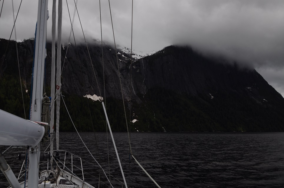
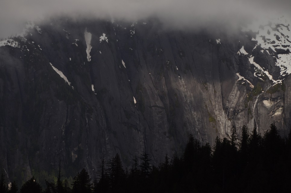
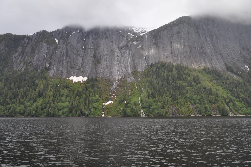
May 18, 2013
LATITUDE: 55-31.66N/LONGITUDE: 130-46.92W
On a Buoy in Misty Fjords Punchbowl Cove. Sureal !
After much ado, we are swinging from a buoy in the magnificent Misty Fjord, Punch Bowl Bay. Ketchikan was a mess of rain, winds and fog, but once we rounded the corner everything improved. We had thought to anchor at an inlet next to Behm Canal, but as the squalls followed us up the bay and the current came in our favor to give us good speed, we decided to risk the extra 12 miles and hope that the buoy was vacant. It’s truly stunning here and we are ALL ALONE!! 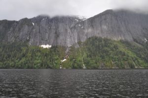 It’s really amazing with the cliffs of Black Mtn climbing straight out of the bay up to 3010ft with cascading waterfalls, eagles soaring around and so many other interesting birds. No bears yet. I think that we will set our alarms to wake up at 5am and go hiking up to the lakes and try to take in all of the enjoyment that we can before all of the cruise ship traffic arrives. We might just wander about the various fjords and then come back here and hope that the buoy it once again vacant for tomorrow night. It really is a special place.
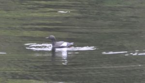 May 19, 2013
LATITUDE: 55-41.48N/LONGITUDE: 130-54.93W
Entering Walker Bay – Sunny!
![]() May 20, 2013
May 20, 2013
LATITUDE: 55-58.90N/LONGITUDE: 131-10.90W
Fitzgibon Cove – at anchor for the night. Flat calm
We’ve had a full day and are still going up the canal toward tonight’s anchorage in Fitzgibbons Bay.
We started early, after enjoying our coffee while looking at the incredible Punchbowl cliffs, 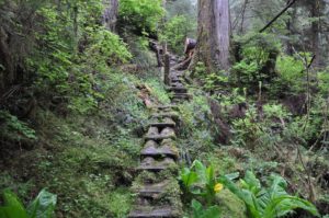 with a steep hike up the hillside to get a great view over some of the torrential, cascading falls in the Punch Bowl.
  We’d hoped to hike all the way up to the lake, above the cliffs, but there had been several landslides and the last part was so steep and torn up, we decided it wasn’t safe to continue on. After some tea and rest, we dropped the mooring buoy about 1pm and made our way to Walker Cove, an incredible narrow fjord with steep 3-5,000ft cliffs literally rising straight up out of the water!
It was hard to take it all in no matter how much we craned our necks! 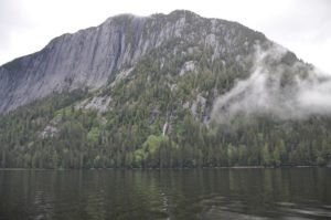 John got some good photos, never the same, but still really nice. AND the sun came out a bit for us, the clouds lifted enough so we could see many of the mountain/cliff tops – it was magical.
 May 21, 2013 LATITUDE: 55-42.51N/LONGITUDE: 132-28.65W Snug Cove after 30 knot winds crossing Clarence Straight
As it turned out those winds that started up just after we emerged from the calms into Clarence Strait just continued to intensify and we ended up with a crashing 25 mile trip up to our current anchorage! Funny how we were so becalmed on the other side, delayed by acoustic testing being done by the military where they made us turn off our engines for 10 mins at a time over what turned out to be 5-6 episodes and either sail or bobb around depending on the winds – so what should have taken only about 2 hours ended up taking about 4 hours – making us late getting around the point and heading up Clarence Strait. Thus, we missed our window of calmer weather. We knew these winds were on their way and had hoped to beat them, however, we are at least in a very Snug Anchorage and one thing about north winds, they bring beautiful sunny skies:) I had hoped to explore around Prince of Wales Island, but with these winds it’s unlikely. We both wish we were in Misty Fjords on such a day – that would have been amazing!! Not sure when or how far we’ll move on today. We’re nestled in for now in a small snug cove on Prince of Wales Island (my old teaching area from 1980-82). The winds are supposed to lessen this afternoon, but we’ll likely take off this morning….Captain John gets restless.
May 22, 2013
LATITUDE: 56-10.42N/LONGITUDE: 132-08.33W
Thoms Place after sail across Chatham Strait up toward Petersberg!
We woke up to a spectacular sunny day and the skies have been clear and bright throughout, such beauty comes at a price of strong northerly winds. Our day started with a boisterous trip across Chatham Strait with 25-30kt gusting winds and rather sharp rolling seas. We tried first to go up the west coast of Prince of Wales from Thorne Bay toward Whale Pass, but gave it up after 45mins of bashing into the waves and shipping tons of water. Totally changing our itinerary, we turned off and were able to sail across at 7.8kts and after 2 hours were finally out of the busting choppy roll of Chatham, still had some gusty winds, but no seas so were able to sail for another few hours although with the irregular winds John ended up at the helm for the last 2 hrs while we tried to point up hard on the wind. The scenery has been really lovely with lots of islets and distant snow covered peaks. Now we are anchored in a lovely wide cove called Thoms Place. It’s not as protected from the wind as we’d hoped, but good enough. Tomorrow we will head up Zimovia Strait, across part of Sumner Strait and then up through the famous Wrangell Narrows to Petersburg. We may need to divide that trip into two days, just depends on our speeds and ability to time the tides and currents.
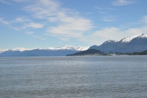 May 23, 2013
LATITUDE: 56-32.50N/LONGITUDE: 132-59.06W
Temporarily Anchored Deception Point Cove waiting Wrangell Narrows AM tides
We are anchored early this evening in a small windy cove at the foot of Wrangell Narrow waiting for the AM tides and currents to make our transit through to Petersburg. Oddly today, no matter which direction we traveled (and we did about 360 degrees of different courses) we had the wind on our nose and not a chance for any sailing. Mostly though it was pretty calm and very beautiful with clear blue skies decorated with whispy horsetail clouds and stunning vistas of snow capped peaks rising above the green islands. We feel very lucky to be enjoying this passage with such great weather -even if the winds don’t cooperate. Not the most restful anchorage with 20-27kt winds, but the anchor is well set.
 May 23, 2013- continued
LATITUDE: 56-48.79N/LONGITUDE: 132-57.65W
Petersburg North dock -C36!! Sunny, clear day:)
It’s fun to re-visit Petersburg as I haven’t been here since the kids years on the swim team – even then most of my time was spent working on deck at the pool! We met up with Sandy Hasbrouck and her daughter Tessa, they shared some delicious smoked salmon with us. 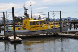 We also met MV Polar Bound! John was ecstatic when he saw that boat at the dock – bright yellow, it’s impossible to miss!
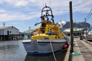 We enjoyed the company of David and June, he is quite a famous British polar explorer having been the first to navigate many or the routes through the Northwest Passage.
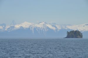
May 25, 2013
LATITUDE: 56-59.29N/LONGITUDE: 132-48.58W
COURSE: 346T;SPEED: 5.7
Leaving Thomas Bay after a beautiful respite among mountains and glaciers and a super low, low tide!
 May 25, 2013
LATITUDE: 56-59.18N/LONGITUDE: 133-18.67W
Portage Bay Anchorage after a day of fishing
John caught a halibut and I caught a lingcod!! We went out early this morning with low tide and made our way up the coastline trying several different spots. Turned out to be a gorgeous day and the vista out over the glaciered mountains of the Le Conte Glacial Field across from Petersburg was quite spectacular. At time we had glassy calm waters – hopefully a few of the photos John took will turn out. Our fish were not large, but we’ll have several meals out of them – starting with fresh halibut tonight!! Now it’s GTs/whiskey in the cockpit under sunny skies, light chilly winds and lovely views. Wish we could share with you all. Tomorrow we’ll go try to get a bigger fish and then head on around to Security Bay (about 60miles)
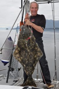 May 26, 2013 – FISHING!!
LATITUDE: 57-03.41N/LONGITUDE: 133-32.27W
COURSE: 299T;SPEED: 7.2
Just finished catching a big halibut!! Quite a FISH FIGHT X2 !!
John caught a big halibut this morning – 70lbs of great eating, but boy did it put up a fight. We got it up to the boat where John hooked it with the gaff, but it put up such a struggle, it nearly pulled him in the water and shook itself off! Away it went with hooks still attached – I grabbed the rod and managed to eventually bring it back up to the boat where John hooked it with the gaff again only to have it go ballistic and tear off again! By this time we and the fish were all bloody. Fortunately it was STILL hooked and although the rod and line were a bit tangled, we managed to keep it and bring the fish back for a third attempt at safely landing it up on the boat. Now we have LOTS of fresh halibut packaged up in the freezer, the boat and galley cleaned up, ourselves all showered and are on our way to Security Bay on the west coast of Kuiu Island. Guess what we’ll be eating for dinner!?
The story of the halibut that got away….
before John hooked his I had hooked what must have been a really big one because after much work trying to bring it up from the depths the fish took off with such vigor it nearly pulled me out of the boat, hanging on to the rod I was horrified to look down and realize that the dang thing was paying out all of my line…when it came to the end it just snapped sending me careening backwards into John and the line slack. John’s first comment was, “oh good, I’m sorry, but I was really getting worried about how the heck I was ever going to gaff that one and get it on the boat!” Seeing the struggles we then had with the next fish, I have to agree with John that it’s just as well the really big one got away. I figure it must have been about 200-250+lbs by the size I saw before it took off and the strength of it’s get-a-way!
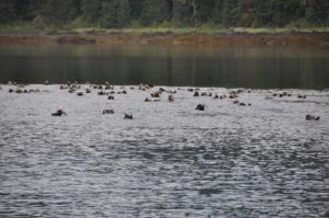 May 26, 2013 -Anchored
LATITUDE: 56-50.23N/LONGITUDE: 134-19.35W
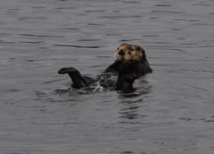
Security Bay watching 50 otters as the sun sets
May 27, 2013
LATITUDE: 56-51.50N/LONGITUDE: 134-32.18W
COURSE: 256T;SPEED: 6.5
On route to Red Bluff Bay
The halibut events were quite exciting – our backs are reminding us this morning of yesterday’s follies! 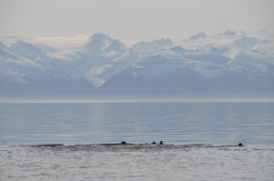 What a long full day we had: scenic beauty and exciting fishing. It’s great to be back in Alaska:) – gorgeous sunny day again!

RED BLUFF BAY, E. Baranof IslandMay 27, 2013
LATITUDE: 56-52.30N/LONGITUDE: 134-47.11W
Red Bluff Bay -snowy peaks, waterfalls, 2 brown bears, sun and blue skies!
Red Bluff Bay is absolutely stunning, especially in this pristine weather. 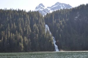 All was perfect until the “Alaskan Story” a luxury boat charter came into the bay and anchored just in front of our view! Oh well. Lots of bears, first a mother and two cubs, then what looked like two young male juveniles who spooked away the mom w/ cubs and then half-heartily followed their trail. Later in the evening a couple more bears were in the meadows.
  We’ve really enjoyed our time here and since we arrived at about 2pm, we had ample time to watch the bears and explore around in our dingy.
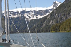
May 28, 2013
LATITUDE: 57-11.89N/LONGITUDE: 134-50.92W
Ell Bay – lots of big charter boats everywhere now.
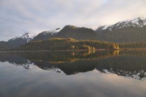 May 29, 2013
LATITUDE: 57-26.15N/LONGITUDE: 135-36.45W
Anchored in Deep Inlet. Waiting tides in Sergius Narrows.
We can tell that we’re close to Sitka – it’s raining!?!? We’re now on the last leg, stopped in Deep Inlet due to rainy weather and strong tides in Sergius Narrows. Will overnight and finish the trip tomorrow. I am SO thankful for the warm, cozy heater that John installed:) Sourdough bread is in the oven and it’s halibut w/ broccoli for dinner.
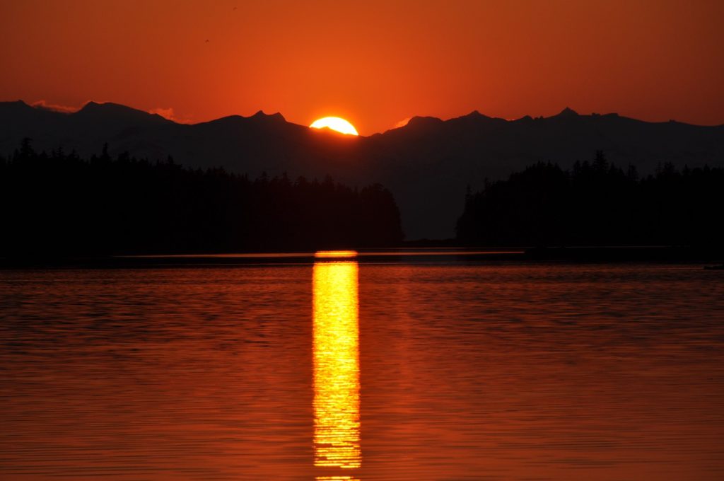 May 30, 2013
LATITUDE: 57-26.15N/LONGITUDE: 135-36.44W
Magoun Islands. Anchored to explore before going to Sitka.
SITKA, ALASKA: with trips to Kruzof Island and Chichagof Island
May 31, 2013
LATITUDE: 57-03.53N/LONGITUDE: 135-21.26W
Sitka – Eliason Harbor 3-6
Lots of work to be done here before we can continue cruising to more beautiful places. I’ll enjoy seeing my friends and hopefully taking some time for walks, runs and hikes around beautiful Sitka.
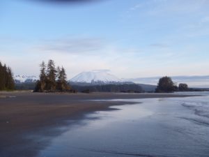
Jodie comes up for a backpacking trip to Shelikof Beach cabin on Kruzof Island
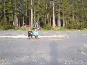
July 23, 2013 – Left Sitka and are headed to the west coast of Chichagoff Island
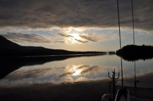 LATITUDE: 57-17.25N/LONGITUDE: 135-35.15W
Calm and peaceful morning in St John Baptist Bay
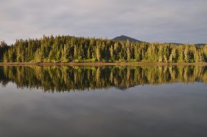
July 24, 2013
LATITUDE: 57-31.25N/LONGITUDE: 135-57.13W
Just left Waterfall Bay where we’d hoped to stay, but we could not anchor because the deep waters suddenly silted up and became too shallow now! Not a safe spot for a boat the size of Raynad.
July 24, 2013- continued LATITUDE: 57-38.78N/LONGITUDE: 136-05.35W Klag Bay
We had an adventurous day yesterday making our way up the coastline of Chichagof, first through Piehle Passage which was a winding course through rocks and narrow/shallow places – a bit scary but also very beautiful and since the ocean swells were quite settled, a good shortcut into Slocum Arm. We tried to anchor in Waterfall Bay only to find that the chart was totally off and the bottom suddenly came up to 0 when it should have been 7-9 meters!?!!? Nothing was as it should be, so we backed out and came on through “The Gate” into Klag Bay. This is where an old gold mining operation dug up over $13mill worth of gold back in 1905-1930. We’ve decided to explore around here today and then head up to Kimsham Bay which is another winding course up around the fjords of Chichagof. It’s beautiful here and so relaxing to be out of Sitka and back in our home on the boat. Two superyachts are also anchored here, we look quite small in comparison. One of them even has a helicopter!
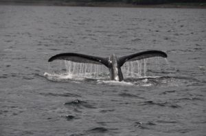 July 25, 2013
LATITUDE: 57-38.79N/LONGITUDE: 136-05.37W
Kimshan Bay – rainy AM-sun at high tide for our PM 10 mile passage!!
We continued winding our way up through the west coast of Chichagof yesterday. It was raining and low clouds for most of the day, however, just at about high tide it started to clear so we decided to motor up to Kimshan Bay. We had to do this at high tide because of the rocky, narrow passages. A bit of a challenge and at one point even our Alaska/USA charts showed the boat tracking over the island!! It’s almost like navigating in the South Pacific where our charts were up to 1-2 miles off! More challenging here thought because the water is dark and it’s tough to see any underwater obstructions. John investigated this discrepancy and found out that our charts for this area are from NOAA data from 1900-1930, so no surprise the accuracy is questionable. Nothing like rocks in unexpected places to raise the heart-rate! It’s really pretty here though with lots and lots of islands, some great pods of sea lions feasting on the salmon which are jumping around everywhere (mostly pinks) and the very large sea otter floating around on their backs peacefully watching the world go by. The sky is still overcast, but the clouds have lifted. It’s low, low tide now so we’ll wait a bit before leaving and making our next passage.
July 26, 2013
LATITUDE: 57-41.33N/LONGITUDE: 136-06.60W
Baker Bay near Goulding Bay West Chichagof
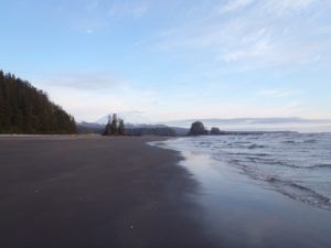 July 27,2013
LATITUDE: 57-10.14N/LONGITUDE: 135-46.81W
Beautiful Shelikof Bay and a late vist to Nikki on the beach

We made the outside trip down through the islets off the west coast of Chichagof, straight past Salisbury Sound and down along the west coast of Kruzof Island passing the sandy beaches of Sea Lion Cove and some huge sand dunes just south of their. We were on a face with two fishing boats to get the best cove for anchoring, but they won (faster boats!!) leaving us to anchor in the larger cove behind some rocky islets. We were soon joined by 2+ other fishing boats. Launching the skiff, we zoomed our way across the waters only to come up short when we reached the beaches of the south beach cabin area of Shelikof. Even with the rather calm waters, there were some pretty impressive breakers on the beach and the river outlet we’d planned to motor up was one of the worst areas, clearly some decent sand bars were obstructing the entrance. Not one to give up easily, John motored the dingy down the coastline and after several aborted attempts, we were able to land on the beach just around the corner from Port Mary and straight out from the grassy knoll where Nikki’s ashes are. We visited her tree, shed a few tears, and remembered happy times here with Jodie, Scott, Nikki and Taz:) We miss you guys. On the trip back, we toured the north side of “Jodie’s Island” and the 3-clefts are truly impressive. It’s a very unique place. We enjoyed a late dinner of leftover pizza and pasta with a great Trader Joe’s bottle of Shiraz, then slept away with the boat rocking back and forth in the swell. Off to explore the other bays a bit this morning before heading back to Sitka.
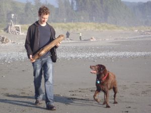
Oregon Seaside Visit with Scott- July 2013
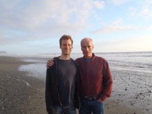
**CRUISING BREAK***
sv Raynad was all provisioned and ready to sail southward to warmer waters, however, Kristy had applied for some teaching jobs in Alaska and a last minute phone call changed everything.Work starts in Haines, AK on August 14th, so Raynad is super packed and moving us up to a rental home in Haines. Kristy will be teaching music, band and choir, for grades 5-12.
August 9, 2013
LATITUDE: 57-51.75N/LONGITUDE: 135-03.00W
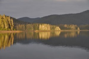 Cedar Cove in Freshwater Bay after 12 hr 90mi day!
We arose at 5am and were out of the harbor by 5:30. Twelve hours and 90 miles later we are roughly half-way to Haines! Now we’ll relax a bit and enjoy the weekend which is forecast to be sunny and warm:) Let’s hope it’s right. We have to cross Icy Strait tomorrow, but otherwise it’s just up Lynn Canal amongst the green glacial water. Today brought us speeds through Sergius Narrows of up to 13kts!! We actually averaged nearly 8 for the full trip which is really good for this boat and the amazing tidal variations that we passed through. I really love the squiggly inside routes which give such beauty and variety to the experience. While we were going 9kts with only 1000rpms (half or less power,) we passed two small fishing boats struggling against the tide and barely managing 0.5 kts – they were nearly getting knocked backwards. Really frightening for them, I’m sure, but a bit unsettling for us as we had to pass them port to port through the most narrow bits while they slooshed and sloshed against the tide!?! Pretty amazing. Now happy hour is happening followed by a maple salmon dinner and then long sleep (we hope:)
August 10, 2013
LATITUDE: 58-37.80N/LONGITUDE: 135-09.87W
Anchored in Lynn Canal with glacier vistas and sunset.
We had a much slower day yesterday with the various winds and tides not helping us at all with speeding along up Chatham Strait. Being a clear, sunny day with vistas of distant towering mountains and cliffs, it was very pleasant and relaxing. Nice to have the diesel and motor power to make our way without winds to sail. Today is another stunner! Absolutely cloudless skies. We came into Boat Harbor last night at high tide through a very narrow and winding entrance in the rock(a sort of hole in the wall,) so now we must wait for the tide to change a bit more before it’s safe to exit this morning. During the tide changes, the entrance sounds like a roaring river! The tide here fluctuates by 15+ feet so even though we had 21 feet under our keel coming in last night, that doesn’t leave us enough clearance for our 8 foot draft at low tide. Darn! We’ll just have to linger and enjoy the quiet solitude of this bowl-like bay:) The boring name doesn’t do it justice, although it is very protected and would a welcome relief to be safely “harbored” in here while the storms rage outside. Chatham has a fierce reputation, so we’re very lucky to have such great weather for our trip. We have about 48 miles to go, but will likely spread that out a bit to arrive Monday morning.
August 11, 2013
LATITUDE: 58-37.78N/LONGITUDE: 135-09.88W
Sullivan Island Arm anchored with 360 degree views of craggy mountains reflected in calm waters – really stunning! Who wants to rush? We’ll linger here a couple of nights and then make our way into Haines the night before work starts.
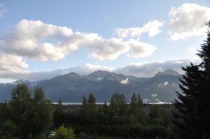 HAINES, ALASKA (August 2013 to May 2014)
I’m now teaching 4-12th grade music in Haines, Alaska!! I have 4 bands, 2 choirs and 2 general music classes – a pretty heavy load with lots of challenges. Just survived the first week! I was a late hire, being contacted only 2 weeks before the start of teacher in-service. After taking the ferry from Sitka to Haines to look over the job, we rushed back to Sitka, loaded up the good ship Raynad and had a beautiful, leisurely 5-day trip up here. It’s been a fantastic summer. We’re lucky to have chosen this summer for some SE Alaska cruising. Looks like we’ll spend next summer around SE Alaska as well.
August 31, 2013
LATITUDE: 58-55.64N/LONGITUDE: 135-22.10W
SV Raynad-Back out west of Sullivan Island for a relaxing weekend
We’ve had a totally relaxing day waking up in the fog and slowly watching the winds and waves build. A good excuse to read and enjoy things like pecan pancakes and many cups of tea!! Now it’s a calm, misty evening after steaks, salad and wine and we’re enjoying the view of bears fishing at the estuary amongst the misty mountains. It’s a perfectly wonderful evening together.

We’ve been warned of the harshly cold winters in Haines. John is a bit reluctant to keep the boat in the harbor and yet it’s much easier to do that than to be away somewhere else. It’s really been nice to have the boat and the ability to get away this weekend. If it stays here in Haines, we might get some chances to get away during the winter.  Nothing like time taken away to appreciate this simple, carefree moments. Nonetheless, the zero and minus temps predicted for the winter may really drive us to move the boat southward. In the meantime…it’s been great to have the time together.
s/v Raynad in ALASKA -Summer 2012

KODIAK – ALASKA! – May 14, 2012 – ( 57-47.15N / 152-24.61W)
St Paul’s Harbor,Slip D17, Kodiak – Snowing! John & Doug arrived safely.
June 26, 2012 – KODIAK, Alaska
John and I are at last reunited in Kodiak. After a very cold night and rainy day, the sun has at last broken through and it’s really beautiful.

John’s working on getting our heating system up and running since it’s pretty darn cold (low 50s). I’ve vacuum packed the tropical weather clothes and will work on reorganizing the boat a bit, laundry/cleaning, and provisioning for our ongoing travels. The local harbor master and his wife had us out to their home for dinner tonight – they run a beautiful bed and breakfast right on the waterfront overlooking the cliffs and islands across the channel. It was truly magical and her gourmet food – a “fish sampling” of smoked black cod, sockeye salmon and snapper- was superb.
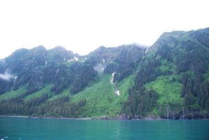 While there, the sun came out and we watched the magical effects created by various shafts of sunlight. Seems like there are many, many lovely bays for us to visit just around Kodiak Island.

June 30, 2012 (57-53.39N/ 152-37.70W)
Anton Larson Bay Anchorage – Gorgeous!!
John and Kristy have finally left the harbor in Kodiak and are now anchored in the lovely Anton Larson Bay. GT’s in hand, sun about to set, snow crested peaks, rocky, green islets, absolutely peaceful, sunny and spectacular!! This is all that we have dreamed of over the past 3 months:)
July 1, 2012 – 57-56.94N / 153-02.68W
Dry Spruce Bay, Kodiak Island : Bear on beach-lots of sea otters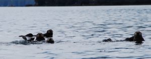
Just as we were dropping the anchor, I looked up and saw a big Kodiak Brown Bear walking along the beach right in front of us! That was very exciting. 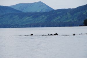 Meanwhile, we are surrounded by rafts of sea otter, they are huge and really cute. We’re in Dry Spruce Bay where there is a defunct cannery and other abandoned properties, including an old wrecked and grounded dock complete with utility hook-ups. No wind today, so we’ll wait until the 15-20kts forecast for tomorrow to make our crossing over Shelikof Straits to Geographic Bay. We’re hoping to celebrate our 30th anniversary on July 3rd amongst the majesty of glacial peaks.
We realized after getting to Dry Spruce and splashing our dingy in the water for the first time, that we had forgotten to get more petrol! We’d given most of it away in the outer atolls of the Marshall Islands. We’re now hoping that we can maybe buy a gallon or two off of a fishing boat, or someone on shore?? If not, we have a little bit, but our explorations will be curtailed.
Date/Time: 2012/07/02 (57-59.66N /153-12.61W)
Comment: On route to Geographic Bay

July 2, 2012 – (58-04.17N /154-22.72W)
COMMENT: Just entering Geographic Bay
JULY 3, 2012 – Misty 30th ANNIVERSARY!!
(58-06.88N / 154-36.25W)
Geographic Bay in the Alaska Peninsula Katmai Refuge

We entered the magical Geographic Bay on the Alaska Katmai Peninsula yesterday evening and just after dropping anchor, what should appear but two bears on the beach! It’s absolutely silent here but for the song of the birds, squawks of the seagull, and the occasional visiting float plane. 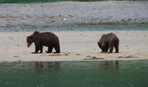 We awakened this morning to the sounds of rain on the pilothouse and now over morning coffee, are watching four bears on the beach! The same two as last night have come back with the low tide and there is one on each of the two other distant beaches.

They are out rooting like pigs in the swampy muck of low tide in this estuary surrounded by steep mountains and towering cliffs completely void of any trees – as John said, it’s a bit like boating in Glencoe with the low misty clouds, fog and cold rain. It’s almost eerie this feeling of solitude.
We’ll probably launch the dingy soon and donning our full rain gear, go exploring…maybe just via water on account of all the beaches being patrolled by bears!?!?So it’s a misty wilderness anniversary – our 30th – unbelievable.
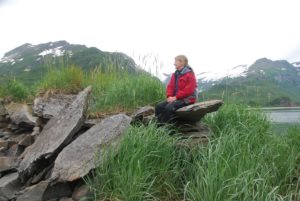 John and I were just reflecting this morning on some of the exotic locations we’ve been for our anniversaries. Of course the best and most celebrated will always be our 25th on top of Kilimanjaro. This 30th is good, but a 19,000+ peak together with Jodie and Scott, is hard to beat:)
30th Anniversary in the Wilderness Bistro (s/v Raynad)
We were indeed the last people out of the restaurant:)Why else do you think that we actually saw the beautiful clear skies that suddenly happened at midnight!?!? A lovely finish to a very special day.
July 4th ,2012 – Geographic Bay, Alaska Peninsula
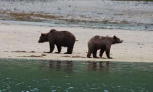 Awakened to the sounds of rain pummeling down on the roof – seems today, like yesterday, will include many cups of tea! I guess after 30 years something has to bug you – turns out that my slurping of tea and other hot liquids is, “making my hair fall out,” says John!?!? Funny though, it’s really hard to drink hot stuff without a bit of slurp!?! Like yesterday, a mother and older cub are grubbing along the low tide. They’re lovely to watch – poor things must be absolutely soaked through and through. It’s really cute to watch them digging away.
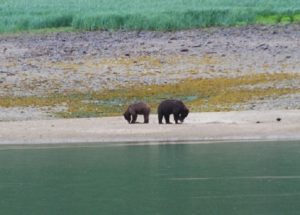 No fireworks or parades for us on July 4th – we’re just hoping for a few breaks in the clouds. This place would be absolutely stunning in clear, sunny weather. Since the forecast is for high winds and rain, and since this is an extremely well sheltered anchorage, we’ll probably just hunker down here with our little propane heater, lots of hot tea, good food and company, and the occasional forays out to explore our environment.
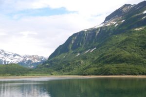 We both enjoyed a very relaxed day yesterday with John reading cover to cover the Atlantic Monthly while I finished one book on the Nook and have nearly finished another. Our anniversary dinner included a late afternoon tea of homemade apple pound cake with vanilla ice cream consumed with hot rum:)

Then later large steaks, sautéed beans and salad with one of our NZ wines. Watched a weird movie, but nice all the same snuggling under three layers of comforters. Thank goodness for the small propane heater that Doug and John bought in Kodiak. We can’t run it all the time, but it definitely cuts the chill and keeps us warm enough. The fleece blanket/throws are definitely getting lots of use.Our new Danish friend on a lovely 65ft aluminum pilothouse boat, s/v Dana Felicia, arrived last night with his two female crew (his wife will not cruise any longer and so is back in Denmark with her kids and grandkids – he’s about 65.)
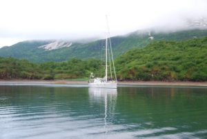 We’ll likely get together with them later for drinks and eats – will be nice to have a bit of socializing. The best weather we’ve had so far was at midnight last night! Go figure, it cleared alot and the sky became many lovely hues of blue, with shafts of sunlight shining low through the valleys, calm and no rain. That’s why we were so surprised to see the rain back this morning, we’d thought after the beautiful clearing that we’d awaken to clear skies. This is a magnificent place, but with the low clouds and fog, it’s more like a scene from Tolkein.
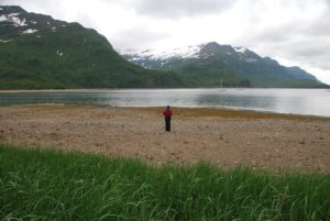
July 5th, 2012
We took the side panels off of the boat windows yesterday, so now we can look out at the lovely majestic, cloud misted mountains around us and watch the water for wildlife and the beaches for bears without having to go outside:) The pilothouse advantage for sure! At low tide yesterday morning there were six bears scattered around on the various beaches – poor things must be absolutely sodden wet. Good thing they wear a bear coat:)
It’s yet another cold, rainy, misty day in GB. 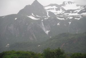 We enjoyed the company of our neighboring boat yesterday. They had us over for tea/coffee mid-day and then they all came over to our boat for evening drinks/snacks. It was really fun to have new people to socialize with for a bit. They too will be here today, so we’ll likely get together today too. One of the crew women, Lisa (age 64,) was a fashion designer in Montreal, Canada. The other crew, Kelly (44,) was a real estate agent in Florida, but has done lots of cool outdoor stuff like climbing Denali and trucking through Africa! The owner is Danish and he designed and had custom built a beautiful 65 foot aluminum pilothouse boat – it’s really lovely. Unfortunately, his wife has given up the cruising life, so he is alone on the boat with his adventures and various crew. He and John enjoyed talking about boats, engines, design, etc., while I had a lively discussion with Lisa and Kelly about travel, extreme adventures, etc.
So it’s more cups of tea, more baking and more books today while we watch for bears. According to the weather forecast, today is not a good day to go anywhere, so we’ll just enjoy our lovely, protected anchorage and perhaps wrap up in rain gear and go exploring a bit.
 July 6th – Geographic Harbor, Katmai Peninsula
We’ve been entertained by 5 bears this morning: a mother a older cub and three separate adult bears. The mother and cub were first out on the beach, drawing a crowd from the other two boats in the anchorage, so we just waited until everyone else cleared out and then went out in our dingy and alas another male came out across the river, and then another!
Mom of course, was not pleased with the new arrival and eventually when it was obvious that he was far too interested in them, she and the cub took off into the meadow grass and believe it of not, he followed! Let’s hope that’s not a sad story:( Patches of clearing sky and shafts of hopeful sunlight today. We’re now waiting to try and catch the right wind and tide to not only leave this anchorage through the narrow passes, but also to get across Shelikof Strait which is notorious for sharp, steep waves when wind is against the tide and with 20-25kts from the NE and the best time for crossing putting the tide coming in from the south, we’ll stay put a bit I think! Really lovely here anyway, despite the misty weather, and we’re still waiting for our part for the heater to arrive from Germany via Toronto to Kodiak. In the meantime, we have a small propane unit to cut the chill now and then and also water bottles filled with hot water and covered with a sock, and in the evenings a bit of heat for an hour with the generator. It’s pasta Friday:)

July 8th Geographic Harbor continues
Can you believe it, we’re down to our last 10 bags of Tetley Tea!?!? How could I have let this happen?? I guess we’ll just have to settle for what’s available at the stores in Kodiak – ugh! Must be the change of climate which has accelerated our tea consumption:) We’re also nearly through our 2nd bottle of Scotch – helped a bit by our friends who really seemed to like the warming glow from a tott.
 We were happily the first ones to spot Mr Big Blondie Bear this morning and so enjoyed our own private viewing from the safety of our dingy as he walked along the stones at the waters edge going between meadows/beaches. Big old guy that bear. Now there are two planes – a Grumen Goose and Beaver, so the BearZoo has begun. Not sure what happened with the bears we saw having a bit of an encounter – makes me wonder what bear stories we’re missing in the dense brush. No intension of investigating though! Thinking of you, but not planning on a visit to Harborzoo:) Colder this AM, hence the pot of tea.
July 9, 2012 ( 58-02.06N / 154-07.28W)
back toward Kodiak across Shelikof Strait
July 10, 2012 (57-56.91N /153-02.80W)
Overnight in Dry Spruce to make tide this AM
 Funny Story:
Last night we were woken up by the sound of feet and sliding on back deck. When I looked outside, I was met with the perky face of what I think was a land otter, or possibly a seal, who had decided to “play” on our boat. Persistent little dude, and friends, used our boat as their private jungle gym for about 2 hours last night! Now this morning all that is left is their mess – the head of a small halibut and some other blood and smeared guts – yuck! It was really cute to see him perk up and look at me last night though, so all we can do is laugh and get out the cleaning bucket:) A friend of ours who took his boat to the Galapagos had some really cute pictures of the seals using his swim step and back deck as their own private abode!
July 13, 2012- St Paul’s Harbor Kodiak
July 14, 2012 Kodiak Island, Alaska (57-50.60N /152-16.29W)
Sailing north
Happy Hour was had by many in the cockpit last night – and even with sunshine! Tom and Laura came over, as did their friend Anna – a crusty and well seasoned ‘ole fishing gal, and four other boaties! We missed you – should have been here:) Tom and Laura send their greetings. Thank you for connecting us, even if for only a little while, it’s always great to have friends. Tom even came down and threw our lines at the dock this AM which was appreciated. Now we are off to explore more of the islands and bays around Kodiak before heading across toward Kenai.
July 14, 2012 (58-09.02N / 152-19.10W)
Brisk broadreach to Izhut Bay now anchored
Beautiful anchorage, but raining and windy, super gales throughout the night!
 July 15, 2012 (58-22.89N /152-16.54W)
Seal Bay northern Afognak Island
Very calm and peaceful anchorage.
Such a different experience this navigating into dark waters! Yesterday we sailed mostly on a broad reach, briskly around from Kodiak into the lovely and very welcome Izhut Bay. With the wind and rains coming into the cockpit, I was thoroughly chilled despite my winter running tights, Mountain Hardware windstopper fleece and three layers on top. Always more daring than me, Captain John pushed us into the bay beyond my safety zone to finally anchor between two island cliffs in what seemed calm and safe waters. Happily anchored, especially since the serious rain started pouring down, we shared some pasta and wine then settled in for the night. 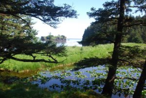 Throughout the night we had gusts from the projected gales shaking about, good thing we were snug and safe. After morning coffee, we lifted anchor only to find a large ball of kelp wrapped around the anchor…many chops and trials later, we set out to shoot through Marmot Strait with the incoming tide. Getting the tides is a significant timing issue here – make the tide and we cruise at 9+kts, miss it and we struggle to maintain 2kts. We’re learning though and so enjoyed 9.8kts through Whale Passage and 8+kts through Marmot:) Now we’re relaxing with the slow sunset in tranquil Seal Bay, way down deep into the cove and a skinny inlet. Once again, Captain John forged ahead despite the chart stating 2m depths, and we’re safely anchored in 5-9m of water.
 Just had an unexpected visit from the Afognak Lodge aluminum charter boat filled with crew and friends(we’d thought it was a marine research base, but were wrong.) Nice group, although they gave us a bit of a startle as they came roaring up asking us for our permits and licenses!?! Of course with beers in hand, they hardly looked serious, but potentially irritating. A fun group of young people, the makers of the boat up from Port Angeles and the lodge crew – no guests today so they’re partying. We’ve been invited for dinner tomorrow night.
Life is good and peaceful.
July 17,2012 (58-30.36N /152-24.97W)
Andreon Bay east Shuyak Island
 No we are not hung up on the low tides, nor are we still partying with a boat full of people. Just me and John venturing from bay to bay. We met a man in Kodiak who retired at 47 (he was an ophthalmologist) and spends 6 mos of every year up here. He recommended several spots which we are busy exploring. Some have been a bit of a stretch since the maps do not give information on many small bay areas….but we haven’t ended up high and dry yet!?!? It’s really lovely and peaceful here, no other people or boats. We were visited by a rowdy group from one of the fishing lodges a few nights ago and then they roared up to us as we were leaving and gave us a big red snapper!! I guess they took pity on these poor old farts who can’t seem to catch anything. Good eating though:) Tonight is stew night, the pressure cooker is gently spitting and I’m hoping the meat will be duly tenderized. Any and all pressure cooker tips/recipes will be appreciated.
July 18, 20102 – Big Bay, Suyak Island
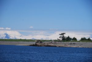 We’ve just dropped anchor in the lovely Big Bay on the western side of Shuyak Island north of Kodiak. After motoring down the east side of Shuyak with super glassy water and being entertained by lots of feeding humpbacks, we enjoyed a gorgeous fast romp with the tide through the narrow Shuyak Strait hitting speeds of 11.8 kts! As we cleared the straits, we were rewarded with a view of the very impressive Alaska Peninsula on a sunny clear day; the grand snow covered, glacial peaks are spectacular – how lucky we are to have a clear day!
 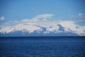 We could even see the tops of Mt Augustine, Mt Iliamna and Mt Redoubt volcanoes at 10,000+ feet with Mt Douglas just peaking over the horizon – it’s broad, white glacier covered top shining out from the bluebird sky. As we dropped anchor, three deer decided to swim across from the small island in front of us to the other side of the bay. It all promises to be yet another special day:)
Yesterday morning, we explored the Little Waterfall Fish Ladder Enhancement cabin. No one was there, except LOTS of bear prints and poop, had my heartrate up pretty high for the entire hike up from the bay to the waterfall. Poor John endured my loud talking/singing as our only bear deterrent. We need to rig up a tin can with rocks to shake, my repertoire is pretty poor when my memory is so distracted. We did buy a can of bear spray, but have yet to arm ourselves with anything more powerful, so the Kissinger voice will have to do it!!?!?
After moving yesterday to our new anchorage at Big Four Island, Andrean Bay, we dingied around to explore an abandoned homestead and wrecked freighter. Apparently the owner had died in a boating accident a few years ago, and his widow just up and moved to Kodiak leaving everything behind. His tool shed was completely organized and the house still had magazines, his coats and work clothes hanging on hooks, kitchen things, and other the little homey stuff – amazing. We were once again visited by a family of river otters last night, but with the dingy down love, they did not come aboard, only frolicked around the boat:)
We’re thinking of leaving early tomorrow and make the crossing to Seldovia (south of Homer on the Kenai Peninsula.) In the meantime, we’re out to soak up the sun and explore all the many coves of Big Bay.
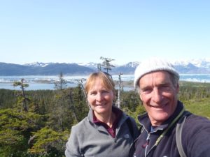 July 19, 2012 – Big Bay, Suyak Island
It’s been a glorious day of sunshine, still glowing strongly at 8:00pm. We had a great hike up to the highest summit here (only 590ft) and took in a wonderful view out over Shelikof Strait to the Katmai, Alaska Peninsula up Cook Inlet over the Barren Islands and all the way to the Kenai Peninsula. Try as we did to get good photos, the scene was just too large to really capture. It was just great to finally bask in the sun again and once back from our exertions, to even relax in the cockpit (GT in hand) with my sunglasses on reading a book! We haven’t done that since the Marshall Islands!?!? It has felt fantastic. Now we must force ourselves to close out the night for an early rise to make our passage to Seldovia (75nm,) we hope. The winds will be strong, but good and we need to leave early to catch the tides and hope to get most of the way to Seldovia before the Cook Inlet starts flowing against us.
July 20, 2012
(58-56.31N / 152-31.49W),Speed: 7.9; Course: 021T
passing the Barren Islands
 July 20, 2012 (59-24.87N / 151-42.81W)
Anchored in Seldovia, Alaska
After enjoying several beautiful beautiful, absolutely gorgeous days around the Afognak and Shuyak Islands north of Kodiak where we did lots of hiking and exploring in total isolation, except for lots of sea otters and a few deer, bear sign too but we didn’t encounter any bears because I make lots of racket.
Shelikof Strait to Cook Straits Crossing – Story:
 We decided to move on across Shelikof and Cook Straits to Seldovia. What we ended up with yesterday was a crazy, scary day starting first at 2:30am when our anchor lost hold during gusty winds and we had to reset it in the dark – neither of us really got sleep after that and then at 6am we set out on a very tidal passage through the narrow channels and bashing through the waves coming out of Big Bay – wind against tide heading into not just the 25kts predicted, but also what quickly became 40kts of wind. At first we headed north on a fast broad reach with the tide pushing us from behind. A bit rolly, but ok and we were happy to be making such fast progress. We had anticipated this tidal current so were happy. Passing the Barren Islands and crossing broadside to Kennedy Passage however, we got hit unexpectedly with a strong 3kt west setting tidal current from the Gulf against the already 40kt winds which created some awesomely steep, short waves. Scary enough that for the first time, Captain John who had already suggested we harness in, also decided that we should put the companionway boards in and none too soon as we nearly got knocked down! What a moment to have the boat pushed so far over, and then thanks to her great stability factor (LPS- limit of positive stability,) she came back up before getting hit again. For a few hours we had lots of water over the foredeck and waves clumping into the stern splashing us with water, but Raynad kept on going. Shortly thereafter, John suddenly shouted – “Oh my God it’s a whale right there!” and we watched helplessly as it tried to dive beneath our bow, then either it or another whale, seemed to roll itself along the hull of our boat. We saw one giant flipper over the starboard side next to John’s shoulder, then a long,white whale belly nearly the length of our boat, then another giant flipper and finally a tail came up just at the stern like something out of Moby Dick – I thought it might crash down on us, but it just dove deep – we think. No sounds or feels of impact, but that was so incredibly and unbelievably close, we could have shook hands with it. We really hope the whale is ok. There was absolutely nothing we could have done, especially while under sail with no warning and in such tough conditions. Throughout this trip, we’ve had some close encounters with whales, but when the seas are calmer, we can see them coming and at least try to avoid them, not so with this one.
 Once we entered Cook Inlet toward Katchemak Bay, the weather calmed and believe it or not before reaching our destination, we actually had to motor! Go figure – one moment we’re in death defying waters and the next we are nearly becalmed!?!? We were so glad to at last enter Seldovia Bay and drop anchor at 8pm. A couple of drinks and we were lights out exhausted from the long and unexpectedly exerting day passage. 15 hours of sleep later, we’re enjoying hot coffee and looking at the spectacular views through the heated comfort of our pilothouse windows:) We took the side panels off, so we have only the glass windows. This boat was truly well designed for this climate and even without the safety panels, the windows survived the test of yesterdays wave bashing. Off to explore the town!
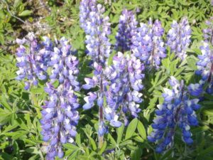
July 22, 2012 (59-13.11N /151-43.88W)
Port Chatham overnight
We’re doing just shorter day trips now after our harrowing trip across the Straits to Seldovia. We’re anchored in Port Chatham after a 6am start, so we’ll leave here early tomorrow and continue on our way another 40 miles to the next protected inlet. We’d like to visit Northwest Fjord where there are supposed to be some great glaciers, and then will make our way to Prince William Sound. We really, really tried to catch a halibut today, but only got a nibble that took the bait and then got snagged up and had to cut the line:( Bummer. We kept at it, but no luck, so it’s chicken for us tonight. We’d be pretty hungry if we depended on our subsistence resources.
Rainy, cold, misty day so it’s cups of tea, maybe some baking and of course reading:)
July 23, 2012 (59-18.49N /150-56.47W)
Tonsina Bay in Nuka Passage
Had a rather dismal day of wind against tide, gray rainy foggy motoring, but at last we are anchored in a lovely cove which will only get more lovely if the clouds will lift and a bit of sun appear. We’re just entering the glacial areas of the Kenai Peninsula so the water is that milky green, the mts steep with lots of waterfalls and we spotted the first glacier coming down to the water. Now if the weather will cooperate it could be quite spectacular. For now though, I’ve had my HOT shower and am settling in with the Nook:)
59:10.879 North
150:57.781 West
Floatsam Reporting done by KT, announced by USCG Security Warning:
Yesterday at 11:00AM AK time, we found a large floating bit of trash aprox 40 feet by 16 feet consisting of what appeared to be two tanks attached.
Location: south of Gore Point
July 24, 2012
Thunder Bay (59-34.32N /150-11.52W)

TAZ BAY -(59-39.12N /149-48.94W )- Amazingly-spectacular!!
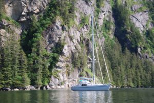 So here we are in the most incredible bay – steep cliffs, trees, waterfalls…..AND the sun is shining. After a touchy pass through the rocks (we actually launched the dingy and John went scouting ahead) – we are safely anchored in Taz Basin! So, out come the GT’s (of course:) BUT it’s the last bit of tonic:( Nonetheless, John had to use this moment of dryness and sunshine to chip off paint and work on the rust (go figure!?!??) but while looking for bits….he found TONIC!!!!!) Knew you’d appreciate that. Secret stores win the day!!!! Yes, I have had a couple. Yesterday was misery itself, so today is so, so, so appreciated!
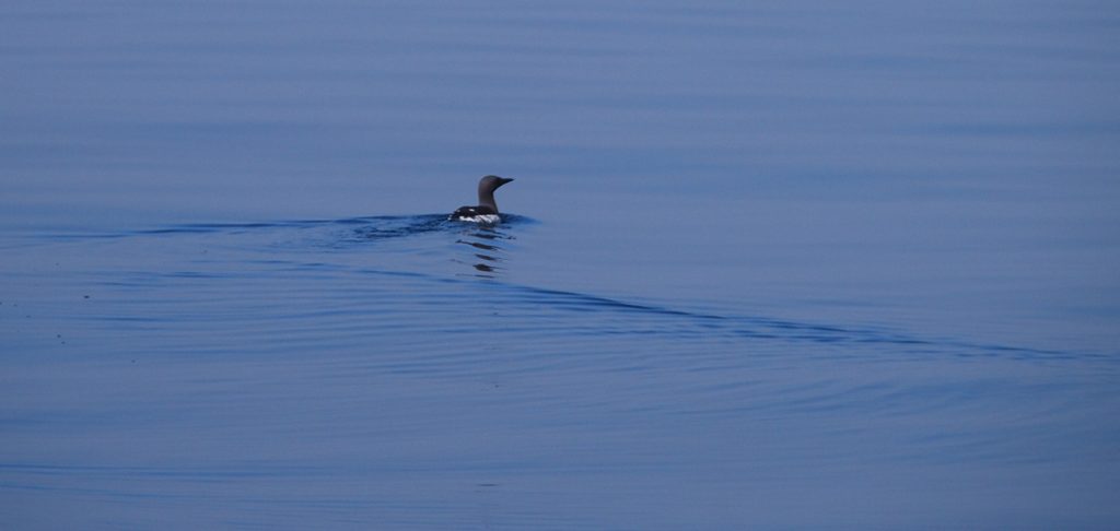 While John was chipping and grinding…I went out in the dingy and hopefully got some good photos, but mostly just enjoyed my surroundings. The hills literally fall with water. Little lovely waterfalls cascade everywhere.
Tomorrow we journey to Northwest Fjord and the real glacier world (complete with ice banging on the hull??)
Yesterday was misery itself, so today is so, so, so appreciated!– Each day has begun at 5AM in rain and drizzle, this sunshine felt SO good! Of course we HAD to visit TAZ BASIN (our chocolate labrador is called Taz.) As soon as I saw the name, I started to investigate the area. A really , really tough pass, yet with a calm and sunny day it was no problem. John got to work right away on some paint work that he’s been keen to do, so I first started reading and then decided to skiff about and take some photographs. Now after eating dinner, the bugs have found us, so we’re putting in the boards. John is out for a spin around the lagoon. We really needed this sunshine.
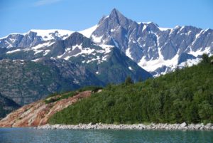 July 25, 2012 – Northwestern Fjord (59°25.20’N/ 150°33.98’W)
We had a super day yesterday, started out cold-misty-rainy, but soon the skies broke up and eventually we were motoring over glassy waters and warm blue skies through some amazing passages and along huge, granite cliff islands on the southeast in of the Kenai Peninsula.  The vistas are impossible to truly photo – Thunder Cove with it’s massive waterfall tumbling over the cliffs, plus about a 1000 other cascades of various sizes falling off each of the many surrounding cliffs. We anchored for the night in Taz Basin a small, deep hole surrounded on 3 sides by towering cliffs with trees and shrubs clinging to every crevice and the entrance made via a frighteningly small opening between the rocks! The beauty and sun were so overwhelming, we just had to open GT happy hour and soak up the moment:) It wasn’t long though before we were both energized to action – John fixing some paint work (chipping, grinding, painting) while I motored around in the dingy trying to get some good photos. Exhausted after our early 5am starts over the past few days, we were both snoring by 10pm and missed the midnight sunset.
Another clear blue day today, as long as the fog bank on the horizon stays clear of us. We shall venture forth into Northwestern Fjord where the fingers of several glaciers come down to the tidelands. John is out cleaning the hull with hopes of getting that calendar perfect photo of Raynad next to glacial blue walls of ice! He thinks we’ll have the sails up – if so then it’ll have to be me in the dingy because if this boat starts to sail off and I’m the only crew onboard, it would be a problem!?!?
 July 26, 2012 – Current Position – 59°47.94’N 150°01.06’W
Northeast Bight of Northwest Fjord – Spectacular!
Yes, we are in the picture perfect Alaskan fjord surrounded by glaciers, seals and spectacularly rugged beauty. 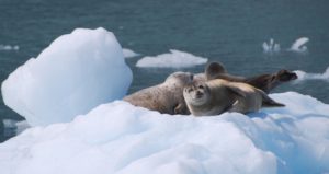 Two smallish cruise boats came mid-day, but after they left, we’ve had the entire place to ourselves. Some great photographs:) Even toasted the day with GT’s made with glacial ice – Captain John went out in the dingy to get the “perfect” photo of Raynad, while I maneuvered her about, per his instructions.
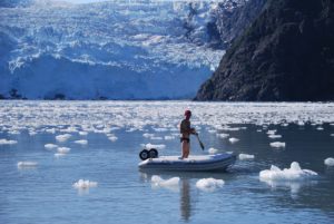
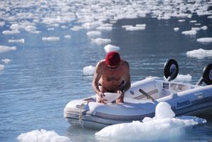 Tough job getting good ice, without seal poop, and not too hard to chip off. We really enjoyed several hours of afternoon sunshine while watching the seals on their ice flows and gasping at the occasional ice calving. The power of nature is truly humbling. Safely anchored, the sun is still out. A huge fog bank raced us up to the fjord this morning and then has lingered all day, let’s hope it stays back for at least the evening. We are SO glad that we didn’t hesitate, but just took off from Taz Basin a couple hours earlier than expected, because just after we left, we watched the fog completely fill and surround our beautiful anchorage! Life is good:)
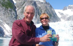

July 27, 2012
We tried to hike the glacial moraine today, but didn’t get all that far since the rivers were either too deep to cross, sided by cliffs, or absolutely clogged with low bush Alder. Nice to wander a bit though and the sparkling fools gold beaches were quite fun. After repeating yesterdays visit to the Anchor and Ogive Glaciers to watch them calving and pester the Stellar Sea Lion trying to sleep on their little ice flows:) we are now anchored next to the lovely Erratic Island directly across from the other arms of the Anchor and Ogive where we listen and feel their rumblings. Could be a restless night, but the view is spectacular, the sun is out and it’s HAPPY HOUR!!
July 28, 2012 (LATITUDE: 59-36.54N / LONGITUDE: 149-38.96W ) COURSE: 104T;SPEED: 5.5
Transitting Chiswell Islands in the fog!
Rest Stop at- LATITUDE: 59-45.34N / LONGITUDE: 149-35.42W – Paradise Bay for lunch
ABRA COVE – Ailik Bay (59-53.74N / 149-39.22W)
Gorgeous sunny evening!
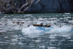 We are having several amazing days amongst the glaciers of the Kenai Peninsula. Yesterday evening was magical as we were so close and looked out at several different glaciers, red striated rocks islands, ice flows, seals…very special:) Today we left the beautiful blue Northwestern Fjord and ended up transitting through patchy fog, our visibility alternating with each mile. Sometimes it was mystically beautiful, other times a bit scary and blindingly white, then the vista would suddenly open. A bit frustrating since what we were passing through was some reportedly unique scenery of granite cliffs, Puffin colonies, sea lions, etc…We ended up having a sunny and relaxing time bobbing about Paradise Cove for our lunch, trying to catch a fish (nada) and then making our way over to the Holgate Arm glacier after the cruise boats left.
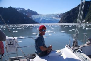 The sun was out and John even put on his Speedo suit to go out in the dingy amongst the ice chunks and take pictures, get more GT ice, and just have fun. A couple of kayakers were also bobbing about. Eventually we motored up and made our way to this lovely anchorage nestled in a cove of waterfalls and looking out over the glassy water to the glacier across the bay. This is the quintessential Alaska that everyone pays the big money for and I guess was also what we were looking for when we made the decision to leave the hot, white sand beaches of the South Pacific and sail the North Pacific oceans!
July 29, 2012 (60-00.74N / 149-17.72W)
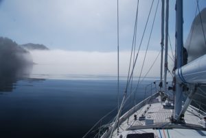 Anchored Thumb Cove after cold, rainy day
We’re anchored about 8 miles south of Seward in Thumb Bay which is a pretty cove with LOTS of other boats in it. Mostly sports fishing craft and smaller sailboats, probably locals. We had a tough time getting our own little share of the scant anchorable areas, but did well enough and had a great night’s sleep. It’s still rainy with low clouds and occasionally near white out fog, but when the clouds lift a bit, the scenery is lovely. Nice to have the pilothouse windows to look out and enjoy the views without having to get wet/cold. Doesn’t work so well while on passage, but with the new heating systems working, quite cozy once we drop anchor:)
July 30-31, 2012 Seward, Alaska Transient Marina
Visited Sea Life Center, did laundry, shopped, had a dinner out, met new friends on s/v Capella III. Left the harbor late after refueling, dropped anchor back in Thumb Cove. Should have listened to the weather- now we’re out here when we’d really rather be back in the cozy marina with wifi, phone and no worries about dragging anchors in the 25-35kt winds and whirlies.
Aug 1, 2012 (60-00.25N / 149-18.16W)
Anchored – Snotty weather will wait it out here
We had hoped to sneak out and around the cape this morning before the weather turned, but no go, the winds suddenly switched just as we were getting ready to go, so we have only changed our anchoring and are still in Thumb Cove, not the best protection, but at least we’re not out in the nasty seas. Too bad we didn’t just stay in Seward for a couple more nights. It’s a busy, crowded harbor, so with the high gusty winds, we’re not keen to try and go back in and safely get into a slip among the many other, very expensive boats!?!? Just us and a fishing boat out here plus the small skiff that the campers on shore have used. There are two public use cabins on land. Will be a day of fussing over the anchorage, drinking tea and reading.
August 3, 2012
Woke up this morning and decided to just go all the way out in the Gulf and sail across toward Prince Williams Sound while the winds will allow us to do that. Better weather than expected, even a bit of sunshine! We’re on a rolly beam reach with 15kt winds and our speed is slowly climbing toward 6.0kts. We’re hoping to anchor tonight somewhere around Sanson Bay or Auk Bay and then take one of the passages into the main sound tomorrow.
LATITUDE: 59-58.29N / LONGITUDE: 148-10.34W
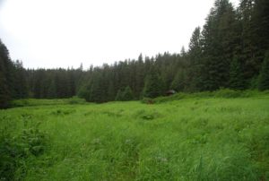 Fox Farm Cove just outside passages into PW Sound
Guess this anchorage got it’s name due to a fox farm being here at some historic time, but for now, it’s much like many areas of SE Alaska complete with a few sea otters, jumping humpies (Pink salmon) but no bears. When we arrived another boat was at the “best” of the two anchoring spots and their helicopter arrived just as we were setting our anchor! Such high-life company…guess they didn’t approve of the new neighbors (even though we are at least 1-2nm across from them on another shore) so the helicopter took off again and the boat left. We’re thinking it’s some sort of commercial operation out of Seward since on closer inspection the base boat was pretty basic – sort of a fuel barge really and nothing all that fancy. So, we have te bay to ourselves. Still no bears – we were spoiled in Geographic Bay with the brown bears coming down every low tide:) It’s all blacks here we’re told. The crossing was much less rough than expected, once we cleared Cape Resurrection and the washing-machine slapping swells…we had a pretty steady ocean swell and winds of 10-20kts, so sailed some and motor-sailed some. Tomorrow we’ll go into the Sound. John has marked several great anchorages which were recommended by our new sailing friends in Seward. Everyone says that you could spend 1-2-3+ seasons just in PW Sound. We’ll do about 7-10 days and then likely make our way more southward. Forecasts of old seadogs are saying that the season will be shortened and more frequent gales/storms come late Aug/Sept, so we’d like to be further along by then. It was great to have the sun come out today for some of our trip. Happy hour and dinner in the cockpit, now after hot showers, we’ll call it a day:)
August 4, 2012 LATITUDE: 59-59.63N /LONGITUDE: 148-10.10W; COURSE: 002T; SPEED: 6.0
Heading up Prince of Wales Passage
LATITUDE: 60-21.79N /LONGITUDE: 148-13.49W
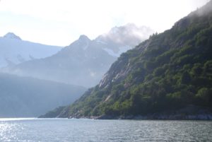 Seven Fathom Lagoon inside Jackpot Bay
We are snuggly anchored inside Seven Fathom Cove which is a fully protected salt water pond approached through a rather narrow passage. I was a bit reluctant to try and go through since MaxSea says there are two rocks in the passage and gives no indication of safety, but the PWSound guide said that the rocks were not mid passage and could be avoided with a close lookout and staying mid-channel!?! Love my Maui Jim sunglasses – they really do give the best visibility through the water, but it’s tough here with this dark stuff – not much warning about obstructions. We’re having a leisurely Saturday morning of coffee and no stress to move on since we will only motor around the islands a bit to another anchorage. Should be more low-key now that we’re in the sound. Next big crossing will be across the Gulf to SE, but probably not for a couple of weeks.
Yesterday surprised us with a lovely, sunny afternoon. We’d made our way up through the Prince of Wales Passage into PW Sound and then across to Jackpot Bay where we tried a bit of fishing, no success, before coming into this cove.
August 5, 2012
LATITUDE: 60-23.90N/ LONGITUDE: 148-09.14W
Ewan Bay near Skookum-chuck. Whales, otters and birds
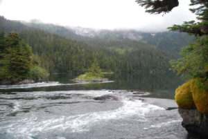 August 6, 2012
LATITUDE: 60-24.67N / LONGITUDE: 148-04.89W
Paddy Bay overnight
We moved one bay over (big trip!?!?) and are now in Paddy Bay. The last anchorage had a skookum-chuck which is a tidal lagoon with an out/inflow that fills or empties like a river with each change of the tide. It was pretty interesting to see and we took the dingy over to explore, although we couldn’t go into the lagoon because of the rocks. It’s like a little waterfall when the lagoon empties and an incredible rush of rapids when it fills up. We’d hoped to see more wildlife since the guidebook said that mother otters used this area to train their young. Only saw one pair and not much action. Whales were there when we arrived, but quickly took off:( Mostly we were visited by mosquitoes – argh! Rainy and cold here, so we cleaned the boat this morning – a big job of relocating stuff – but it’s better now. Now it’s a cup of tea as we wait for happy hour and pasta (missed Friday pasta night, so it’s now a Sunday pasta:)
August 7, 2012
LATITUDE: 60-26.88N /LONGITUDE: 147-59.85W
So Eshamy Bay & Lagoon Anchorage
We’re just dawdling along. Yesterday was an indoor, rainy day spent reading Atlantic Magazines cover-to-cover and drinking lots of tea! A little break in the weather after dinner (hot & sour soup) so we dropped the dingy and went exploring the shoreline, tried to snag a salmon and pestered the bears.  Sunshine broke through the clouds this morning which made our short trip over to Eshamy Bay and Lagoon very pleasant. We came into our anchorage while entertained by the Stellar Sea Lions on the rocks and otters furiously eating, dropped anchor and then watched a couple of black bears:)
After launching the dingy, we went exploring the 2 mile lagoon – more otters and bears and lots of jumping Pink Salmon. This whole area has been declared a State Marine Park , land purchased and so dedicated by the Valdez Oil Spill Trustees. Tomorrow we’ll make our way over to the Port Nellie Juan Glacier. Mostly shorter day trips between anchorages, which is a nice change.
August 8, 20120
LATITUDE: 60-28.44N /LONGITUDE: 148-19.17W
Nellie Juan Glacier – anchored at Nellie’s Rest
 August 10, 2012- 60-35.70N /148-14.71W
Little Mink Island Anchorage
Despite the break in the clouds last night and the beautiful crescent moon at midnight…we awoke to misty clouds laying lowly over the mountains. After an extra pot of tea, we decided that the weather probably wouldn’t clear enough to see the striking granite cliffs and ice fields of Nellie Juan Glacier, so we took off and are now anchored amongst the quaint coves of the Mink Islands. No mink to be seen, but LOTS of flipping/dying salmon, eagles and a gorgeous black bear! Immediately after dropping anchor, we took off in the dingy to explore the inlets and were able to just float at the mouth of the river and watch a young black bear make his way along the shoreline, munching on a post-salmon snack of grass, sniffy-farting-pooping and then wandering off into the woods. Now it’s high tide and all the wildlife are at rest – and so shall we.
Hoping for clearer skies tomorrow as we make our way toward the Columbia Bay glaciers.
August 11, 2012
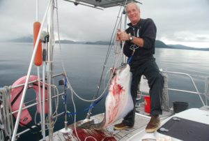 We caught a HALIBUT!! We set out this morning in absolutely down to the water clouds/mist with my mind set on fishing for halibut (nothing to lose, the day was gloomy already!?!!?) We found the spot, set our anchor and started to jig. Two rockfish later….a halibut took hook and off we went~~!!!!! It was a comedy scene for sure as both John and I struggled to get this thrashing beastie under control!! Kristy realled it up to the boat, near the swim step….zing…off it went over the horizon (much worry about the actual length of our line) back up to the swim step…zing…out again. Fortunately John was by this time harnessed in and ready for battle! Halibut lost – John won. Pretty scary what he can do with a gaff!?!??
Best of all, during all of this activity, the sun came out:) After lots of skinning and cleaning- the halibut was packed in the freezer and a nice fresh portion sizzling in the frying pan. We were on the forward deck in time to enjoy a spectacular sunset. Full bellies on fresh caught seafood, sunset beauty AND GT’s/Whiskey…life continues to be good on board the good ship Raynad.

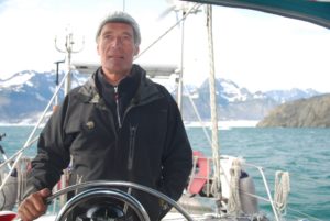
August 12, 2012
Columbia Glacier Fjord – a long fjord with many glaciers and miles of ice to navigate before reading the mouth of the Columbia.
Heather Bay – Spectacular sunset
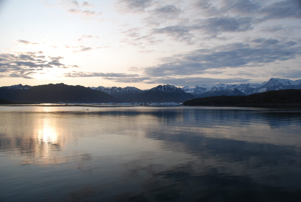
We motored across the sounds yesterday with sunny skies, light breezes and a spectacular 360 degree views of Prince William Sound, the lovely island and the many mountain ranges, streams of glaciers running down the valleys or hanging off jagged peaks – a very pleasant few hours. Even got to practice our “man-overboard skills” to rescue John’s red (hand knit) hat! With the sunny weather continuing into the late afternoon, we decided to go across the moraine and all the way up the fjord to the mouth of the Columbia Glaciers. Lots and lots of actual icebergs greeted us as we started up the fjord and continued building in density, being especially thick at the shallow moraine crossing and then on the left side of the fjord. 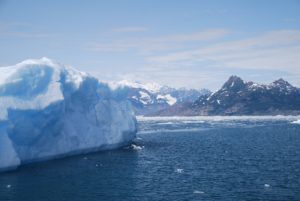 Some very impressive ice sculptures! Nothing to match the size of the blocks we saw in South Georgia (Southern Ocean) – those were often the same size as large buildings. Because the bergs tended to accumulate more on the west side, we were able to carefully make our way all the way up to the glacier!
  It was like stepping back into the Ice Age. Very impressive the power of scrapping glaciers to score the surrounding cliffs. We took lots of photographs, but by the time we made it to the top (about 12 miles,) it was getting late and very cold, so we came on back down the fjord and then up a side finger into a lovely anchorage protected behind a mound of old moraine. The icebergs are jammed along the other side – a bit like a train wreck. We enjoyed a super gorgeous, long sunset –
 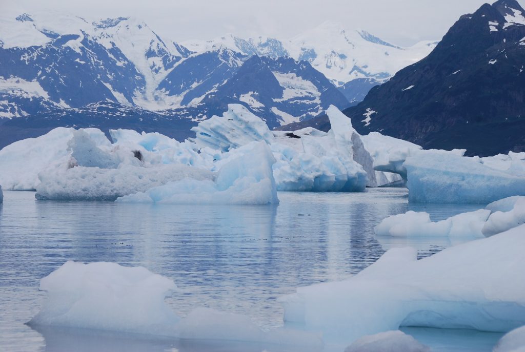 more pictures – we just can’t stop trying to capture the beauty and yet it is so vast, none of our photos really do it justice. Finally with the dark (not until nearly 11pm,) we settled into sleep, John setting his alarm to try and get up for some sunrise photos. Half way through the night we were startled awake by an ice berg bumping against our hull and the snap-crackle-pop of brash ice. John ended up pushing the hulk away with our boat hook! A bit cloudy this morning, so no sunrise photos. We have miles of moraine to walk and explore, so today will be a hiking day! I’m really looking forward to stretching my legs out a bit.
8/13/2012 – Columbia Glacier Explorations
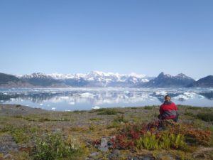
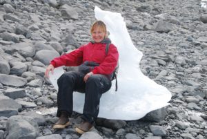
We had a fantastic day yesterday hiking all over the place! We started the morning with a long hike up over and across a series of meadows/muskeg along up through the valleys, trying eventually to hike up high enough to get a super view. Unfortunately, the last tree crossing was also a cliff, so we didn’t get to the spot we’d been hoping for. Nonetheless, we saw a gorgeous fox and really enjoyed about 3+hours of tramping about.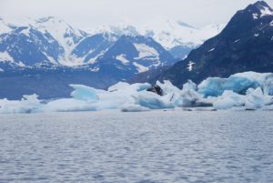 After some lunch, we took the dingy out around the moraine point puttering amongs the giant wreckage of icebergs – very surreal – and then took another long hike, about 3-4hrs, up around and about the moraine. Lots of seabirds and an incredible assortment of really tiny flowering vegetation.
 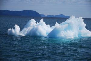 Fulfilled and tired, we gathered yet more glacial ice for our drinks and came back to relax in the cockpit and eat another dinner of halibut:)

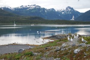
Lots of bergs – ice sculptures floating in the water.
![]()
August 14, 2012 – 61-02.84N / 146-47.55W Sawmill Cove on a spectacular sunny day.
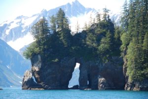 We woke up to an absolutely beautiful day and couldn’t even think of leaving the Columbia Bay/Glacier areas. We went for two more long hikes – the morning one for nearly 5 hours! It’s just been fantastic to at last get out and walk – in fact we could have just gone on and on and on!!
We’ve anchored this evening about 2 hours away from Valdez and will go in tomorrow.
August 15, 20102 – Valdez Harbor 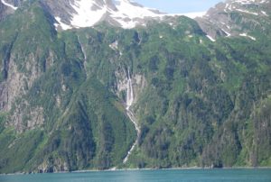
We may leave before Saturday. There is a music festival on the dock starting on Sat which might be fun, might just be noisy?!??! Not decided yet if we’ll stay, or if we can stay. People are worried about an early fall/winter, so lots of cruisers have already gone south or are busy getting ready to haul out. Sitka is only 465 miles away as the crow-flies, so we don’t really have far to go.
It’s foggy again, but at least calm.
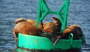
![]()
August 18, 2012 – 60-55.98N / 146-39.97W Galena Bay We were surprised by sunshine yesterday which just got better and better:) After trying to troll for Coho (unsuccessfully) we motored on through the narrows and down to Galena Bay south of Valdez and are now anchored in a lovely little cove. As the evening progressed, the clouds eventually ALL disappeared and we were left with absolutely clear blue skies upon which the sunset began to gradually set the mountain vista into dark cutouts and cast its pallet of colors across the sky. Now I can totally relate to the painter Byron Birdsall’s style. We set outside for most of the evening just enjoying the peace and beauty of the moment.
Today started sunny, however the clouds are rolling in and starting to block out the sun. We’re off to Fidalgo Bay and will likely spend at least a couple of nights in that area.
August 18, 2012 – 60-50.97N / 146-32.13W
Landlocked Bay – a very dramatic mountain fjord
We dropped anchor about 3pm, just in time for the serious rain to start. Landlocked Bay is a dramatic mountain fjord with a jagged peak rising over 4000ft directly from sea level. Unfortunately, we only got to view it as we entered the fjord, by the time we’d settled, the clouds had descended and the view was obscured. What else to do, but put on the teapot and grab our books. I made pizza for dinner just to give us a break from halibut and add some extra warmth to the galley. It’s noticeable that our days are getting shorter – still long with the sun setting about 9pm and rising about 7am. This will mostly effect us on our longer passages. I really liked it when we had long days and could easily manage a 15+ hour sail with full daylight. Not sure how long we’ll linger in the Fidalgo Bay area. We’ll make some decisions this morning about the next few days at least.
Now it’s hot coffee and cranking up the heater.
August 20, 2012 ( 60-20.20N / 146-32.55W)
Garden Cove Hinchinbrook Island
We had a brisk 47 mile trip south from our snug little cove up in Fidalgo Bay – sad to leave the steep fjords – yet we’re both a bit restless to continue the journey. We’re anchored in Garden Cove at Hinchinbrook Island which is the launching place for leaving Prince William Sound and heading southeast across the Gulf of Alaska. At this time, the weather is predicted to be okay for us on Tuesday, but as Captain John likes to point out, it’s only a forecast. Tomorrow we’ll ready the boat for offshore sailing, something we haven’t really done for awhile as illustrated by all of the crashing and banging when we hoisted the sails this afternoon during a few hours of brisk winds! 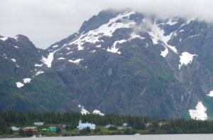 There is alot of history to the bay we’re in because the English and later the Russians valued the easy access of this bay to not only a rich source of sea otters, but also it’s ease of navigation using wind. Bad for the otters and the local native tribes – lots of bloodshed and violence – especially from the Russians. Now the Native village looks really lovely nestled amongst the rock formations and long sandy beach. The otters have robustly recovered (several met our boat as we came in to anchor,) and we even saw a big brown bear up by the river. I have my binoculars ready to keep looking for more:)
LATITUDE: 60-07.38N /LONGITUDE: 146-07.43W
COURSE: 127T; SPEED: 5.7
Surprisingly rough Hitchinbrook Pass. Lots of traffic – tankers and cruise ship
Leaving Prince William Sound and heading toward Kayak Island where we’ll decide whether to keep going southeast to Sitka, or go up to Yakutat, or perhaps toward Elfin Cove.
August 22-24, 2012
Two night passage from Prince Williams Sound down to Salisbury Sound. The weather is rapidly changing with snotty forecasts, so we’re planning to boogey our way quickly down south
We are on our way to SE AK from Prince William Sound. It is 4:20pm and a sunny afternoon with no wind so we are motoring. Right now we are approaching Cape St Elias – a very very rocky promontory that juts out into the Gulf of Alaska. We have to round that point, then make the turn for Yakutat. The charts that Scott sent us on a USB are the ONLY charts that show the detail of that point. There are many rocks and shallows that stretch out for 4 miles under water. Knowing that they are there has been very important to us in setting the right course. Amazing that no other charts show these rocks so well. The charts Scott sent us are the most up to date so we are safe thanks to you Well done Scott !!
August 22, 2012
LATITUDE: 59-48.74N /LONGITUDE: 145-03.66W
COURSE: 121T; SPEED: 7.0
Near Kayak Island sunny skies and calm seas
We pulled up the anchor at 6:00am this morning and headed around the Cape of Hitchenbrook Island having anticipated the benefit of leaving on an outgoing tide together with lighter winds. Good thing we did, because even with all of those variables in our favor, the trip through the pass was quite rough with disturbed waters and some large rolling and choppy waves – I can’t imagine what an ordeal it would be had we enountered stronger opposing winds against the strong tide! We encountered two oil tankers and a cruise ship while navigating through, so we stuck to the edge of the traffic separation lanes. Now 66 miles later, the seas are calm, the sun is out and we’re just about to motor around the cape of Kayak Island. Too bad there are no places to anchor there, it’s an impressive island/peninsula. We’ll continue through the night and depending on our progress, the weather, etc., will decide where to go.
LATITUDE: 59-20.09N /LONGITUDE: 142-08.59W
COURSE: 110T; SPEED: 7.3
Motoring along across the Gulf
We are still at sea and giving Yakutat a pass while we move ahead to either Lituya Bay or Touch or Graves Harbors. We’d both like to go into Lituya, but it can only be safely done at slack tide, which times well with or expected arrival, but not easy for a safe departure. We ended up with a gloriously sunny day yesterday, into the evening with sunset and then massive stars with nightfall. We’ll be at sea again tonight, but should each our destination tomorrow morning. John took a long shift last night – 1:30am to 6:00am, so I got a good night’s rest. Hopefully he’ll now sleep for 5-6 hours. The days are still longer here so we have from about 5am-10pm with daylight. Mostly motoring due to variable and light winds. Now they’ve strengthened but are directly behind us. It’s clouded over now which is a shame since we are missing some of the most dramatic mountain views. I so wanted to see Mt Fairweather.
August 23, 2012
LATITUDE: 58-57.58N /LONGITUDE: 140-10.73W
COURSE: 113T;SPEED: 7.1
Still motoring as the winds are directly behind us and not strong enough to keep our speed up. Hoping to arrive in Graves Bay early-mid morning. John and I are trading off on night-watch.
LATITUDE: 58-17.28N / LONGITUDE: 136-56.63W
COURSE: 121T; SPEED: 7.6
A couple of cruise ships in the distance and fishing boats. All is quiet and dark as we motor across the Fairweather Grounds.
LATITUDE: 58-16.52N/ LONGITUDE: 136-41.06W
Anchored in Graves Harbor
We just dropped the anchor in Graves Harbor on the outside edge of Glacier Bay Nature Reserve after completing our 384 mile passage across the Gulf of Alaska from Prince William Sound. No good sailing so lots of diesel used. Nonetheless, it was an easy and comfortable trip. We’ll stay here until a predicted gale passes through (1-2 nts) and then continue our way southward along the west side of Chichagof toward Sitka. Halibut for dinner with bacon, onions and cheese – actually turned out very delicious. We’re both knackered now and ready to sleep.
August 24, 2012 – Graves Harbor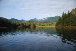
We’re waiting out the storm securely anchored in a lovely bay where I spotted a sow and her two cubs on the beach. Watching them with great delight, I realized that one of the cubs is lame. He must have injured his hips and/or leg so he could only hop his back end. Made me really sad to watch as his mother and the other cub kept getting further ahead and were still able to nibble at stuff while he/she spent all their energy just trying to move along the beach. I SOOOOO wanted to just go give him a big bear hug and bit of encouragement. Nature can be so cruel.
August 25, 2012
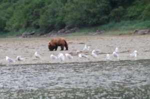 Woke up this morning after a good long night’s sleep to find a big brown bear on the beach. He must be the papa to the two cubs we saw on the beach yesterday.
We’re waiting out a forecasted storm. Not that the winds and seas were more than Raynad could handle, but with large head seas and all the strong winds on the nose, progress would be tough. Our little bay is so well protected, it’s nearly flat calm in here and hard to imagine the forces of nature just outside! Meanwhile, big brownie keeps looking our way – I think he’s hungry and the tide is not out far enough yet to give him easy access to the jumping salmon. I just hope the little lame cub doesn’t come across him – the male browns like to eat the young cubs:(
August 26, 2012
5am and we’re just having our morning coffee and will raise the anchor soon to continue onwards towards Sitka. We’ll stop tonight and finish the trip on Sunday.
57-44.90N / 136-29.63W
COURSE: 155T; SPEED: 6.5
Motorsailing outside waters of Chichagof Island
We got up early this morning to try and make the right tides and distance so we can anchor at either Kalinin Bay or St John Baptist Bay before dark. LOTS of fishing boats out here – all trolling for Pinks -I think! Our trip is slowed a bit as we must continually dodge around all of the fishermen. There must be at least 50 trollers out here, all going different directions!?!? It’s a bit crazy at times when we come upon a batch of them. At least the seas are pretty calm, not much wind, so it’s a great day for the fishermen and a poor day for sailing. Good thing we have a super engine and lots of diesel.
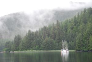 August 26, 2012 ( 57-19.24N / 135-47.18W)
Kalinin Bay SE Alaska
Sea Lion Cove. A couple of fishing boats are also anchored here. Mostly quiet in the growing SE mistiness.
August 27, 2012 – LATITUDE: 57-08.33N / LONGITUDE: 136-00.67W ; COURSE: 196T; SPEED: 7.3
Downwind offshore of Mt Edgecumbe – sunny day!
 We’ve set off under sunny skies with northwest winds to sail around Mt Edgecumbe and into Sitka!!
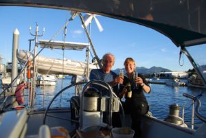
August 27, 2012
LATITUDE: 57-03.37N/ LONGITUDE: 135-21.13W
SITKA!!! Homeport in the harbor.
August 28, 2012, Sitka, AK
We just arrived into Sitka last night on an absolutely beautiful day of sunshine, including an amazingly raucous sail along the outside coast of Mt Edgecumbe. Downwind with 30kt/gusting 35kts. There were moments when I was all clinched fingernails as the boat swerved around. Once safely moored at the dock, out came that bottle of champagne which you two should have shared in Kodiak. 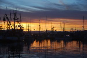 We toasted our safe arrival and made a toast to you as well, then enjoyed a lovely evening sunset from the cockpit. Avoiding the “real world” we spent the night on the boat and are now up for coffee with a full day’s/week’s list of to-dos.
Passage-Making
Sitka, AK to Anacortes, WA
Sept 2, 2012 – headed out Sitka Sound to outside waters for about 4 hours of beating into the weather before deciding to turn back and wait out this weather system.
Sept 4, 2012 (56-15.54N / 134-53.19W)
COURSE: 145T; SPEED: 7.2
Passed a huge pod of Humpback Whales!
Still Harbor Baranof Island
(56-32.45N/135-00.86W)
Whew! Nestled inside Still Harbor at last – was pretty rough outside with far too many water-sodden logs in the water. We’re ready for a break and peaceful overnight.
Sept 5, 2012
Egg Harbor in Coronation Island
(55-54.44N /134-18.94W)
We’ve just dropped anchor in Egg Harbor at the rather dramatic Coronation Island. I’ve flown over this in a small plane and always thought it’d be cool to be here AND the sun has come out! We had a much better day today – not enough wind in the right direction to sail, but at least the seas (waves and swell) were down a bit from yesterday. Nonetheless, the water disturbance around Cape Ommaney was incredible with sharp, steep waves and lots of lovely Puffins:) We even clocked 8.6kts of speed with the tide. Not sure what are plans are for tomorrow – depends on the weather if we sail or motor, stop or continue through the night. Will let you know.
For now it’s GTs/whiskey in the cockpit – our favorite time of day:)
Sept 6,2012 (54-50.64N /132-56.56W)
Port Bazar on Dall Island after a LONG day with flat seas and no wind
Sept 7, 2012 (54-37.04N / 132-43.09W)
COURSE: 094T
SPEED: 5.0
COMMENT: Downwind through Dixon Entrance
We sailing along through Dixon Entrance while listening to comedy on the satellite radio!! Yes, John took it out of he house and has done a partial installation on the boat. Very nice to have radio with such clear reception and a variety of program choices: opera, jazz, comedy, news…..:) We’re heading for Prince Rupert to check in to Canada before cruising southward. All is well onboard.
We’re about 40miles out from Prince Rupert on a lovely sunny evening. Lots of big ship traffic and we’ll be arriving after dark, so a bit nervous about that!?! Has been a beautiful day, started with strong winds and seas, but settle into a following sea and not enough wind to keep the sails full while going, so have motored.
Sept 8, 2012
Sailing south from Prince Rupert, BC – Canada
(54-12.40N /130-22.06W) ;COURSE: 211T; SPEED: 5.3
sunny day!
(54-22.20N / 131-12.56W) COURSE: 110T;SPEED: 7.4
(53-52.85N / 130-49.99W) COURSE: 173T;SPEED: 7.3
(52-51.82N / 130-07.00W) COURSE: 143T;SPEED: 6.0
lovely sunrise
(52-14.66N / 129-24.06W) COURSE: 149T;SPEED: 8.0
Well the trip started out with good winds out of Prince Rupert, but they dropped earlier than expected so we’re now motoring and trying to do so a bit more quickly to get into the protected waters inside Vancouver Island before the next weather system hits. It’s moving a bit faster than the forecast, hence Captain John’s decision to up the RPMs and move along a bit faster. Overall the weather has been lovely, clear skies and calm waters, with star and moonlit nights. Hopefully that will be the case tonight as we finish this passage across Queen Charlotte Sound. Lots of traffic including several cruise ships – our new AIS makes this all much less stressful as we know they are coming 25+miles out and also can follow their course, speed, etc tracking across our navigation software, plus we are broadcasting as well so if they are paying attention then they’ll know where we are too:) We mostly stay to the east side of the strait and leave the middle for the big guys to duke out for space.
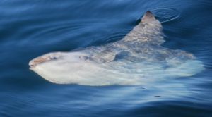 SUNFISH in Queen Charlotte Sound!
Well we’re only 36 miles from Port Hardy and boy are we ready to drop anchor!! It’s been a couple of days and nights with a variety of fickle weather- both glassy seas and dark stormy night with the wind not really making up its mind just from where and how hard it wants to blow. We set off from Prince Rupert under sunny skies and good winds, then the winds went on the nose, then eventually after 360 degree variations of sail changes, this afternoon, it was totally calm and glassy. Nonetheless, we just finished our crossing of Queen Charlotte Sound in gale force winds and in the black of night. Now we’re mostly motoring toward the Straits and are immersed in near total fog. Thank goodness for radar and AIS so we can hopefully spot any traffic along our way. Just before sunset, your dad spotted the most incredibly weird fish. We actually turned the boat around to go get a closer look of this thing sort of floating on the surface. Sad to say, it was one of the ugliest creatures I’ve ever seen, quite prehistoric like.  It sort of resembled a combo shark/halibut with lumpy skin, flippers like a whale, and seemingly missing its back quarter which was just scalloped off – not really a tail. The first one was pretty large and looked half dead. We then spotted a second one which must have been the “baby” and it actually sort of swam/floated about with an occasional flipper-flap. John took a bunch of pictures, so we’ll show them to you. Just as the sun finished setting, the wind kicked up and we took off sailing – quite nicely for awhile….then the fluky stuff started with winds up to 30kts, lots of gusts, a few direction changes and building seas. Neither of us is getting much sleep – John is snoozing now but we’ll both need to work on the navigation up the strait.
Sept 10, 2012
(51-25.35N / 128-32.17W) COURSE: 152T; SPEED: 6.0
Definite change of weather – Dark and stormy!
Sept 11, 2012
Port Hardy,BC – Canada (50-43.46N / 127-29.23W)
We arrived into Port Hardy this morning about 8:30, totally exhausted, in the fog and with lots of boat traffic…thank goodness for AIS and radar! The big boats were easy because they showed up on our AIS and we knew exactly where they were going, how fast, etc., the small zoom-around powerboats showed on the radar, but we had to depend on them zooming safely around us because we were only going 4-6kts and they were all powered up at 25+ – so typical of the charter sportfishing group, they seemed to love crossing right in front of us! We had a bit of everything on this 3 day- 2 night voyage from Prince Rupert to Port Hardy (about 364 miles)starting with sunshine and good sailing winds out of Prince Rupert, shifting winds, motorsailing, motoring over glassy waters under sunny/cloudy skies, then gale force winds,darkness, rain and fog, ending with no wind, opposing tide and thick fog. Captain John loved all of the sailing moments, even the gales, he tolerated the motoring on glassy waters (after all it really was pleasant and beautiful – we could even have a wee happy hour:) but he really hated the fluky winds/motor-sailing. As for me, I ALWAYS loved the calmer seas:) We had some lovely moments in Queen Charlotte Sound with a starlit night, whales, beautiful sunrise/sunset and even a couple of unique fish (perhaps Sunfish??)The Canadian weather forecasts were mostly wrong with our getting calm, fluky weather when we should have had good sailing winds or even storm winds, and gales as predicted but from a different direction?? Now our challenge will be working with the tides (and winds) as we progress down the inside passage of Vancouver Island. No more big seas, but a navigational challenge all the same. Nearly to Washington! We hope to arrive in Friday Harbor, San Juan Island on, or before Saturday-Sept 15. Then it’s just a short 20 mile hop over to Anacortes, WA.
After anchoring this morning, we both crashed for about 4 hours. John is now fixing the latest boat issue – or tank sentry/pump for the diesel day tank. He had to do several repairs during the passage, even install a new pump, but it’s still not working as it should. He is such a handy-man, I can’t imagine ever even considering cruising in a boat without someone like John who can repair almost any mechanical problem on the spot! Especially since the problems typically appear at the most inopportune times. He’s amazing!
(50-24.94N /125-58.79W) COURSE: 124T;SPEED: 7.0
Johnson Strait in rain, then sun, then rain, then sun!?
(50-21.09N /125-27.91W)
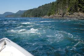 ‘Ripple Rock’ in Seymour Narrows – Fascinating !
(50-07.70N /125-21.32W)COURSE: 171T; SPEED: 10.5
10.5 kts through the Seymour Narrows – Yipee!
Anchored – Tranquil cove for my birthday celebration:)
(49-43.74N /124-12.68W)
After a VERY long day following an all night passage, we’re taking a break – no big celebration – mostly sleep!
Sept 12, 2012 – Anchored Overnight
(49-28.50N /123-51.52W)
Just a very short break before continuing on hoping to arrive in Washington before dark.
Sept 13, 2012 – ARRIVED ANACORTES,WASHINGTON -USA
Came into the marina with the last light after a long day. Brisk sailing at times with good winds, a bit of challenge with the tides, but all went well. Good day with sunshine and definitely much warmer than Alaska. We’re back into summer-like weather and it feels great!
Jodie drove up to meet us! Very exciting to see her again. She’ll let us use her car for a few weeks and she’ll commute to her UW Med School assignments via foot, bike or bus. We’ll leave the boat here for the winter and spend some time pestering our children! The marina only allows us to “live-a-board” for no more than 2 weeks, so we’ll need to find somewhere else to live, probably around Portland. Scott graduates from his CAD program and is looking for a job, so we’ll be here to be involved helping him with that. Plans are to set out next April and cruise more of Alaska. We rushed through SE Alaska and BC so we want to spend much more time in those places.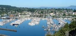
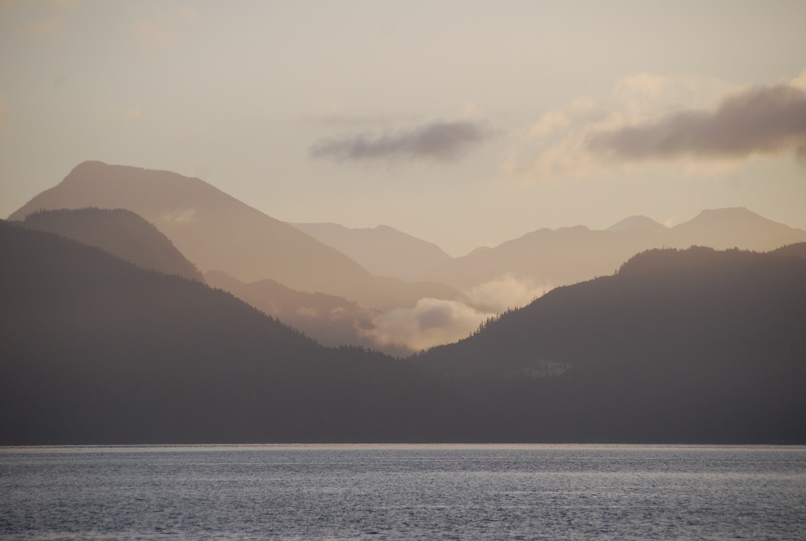
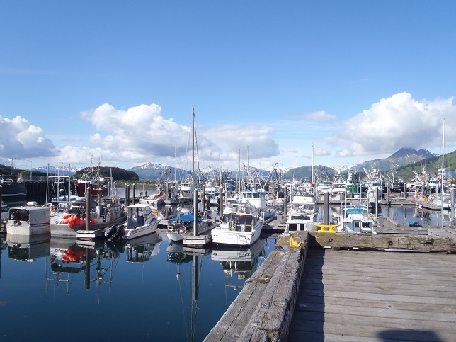


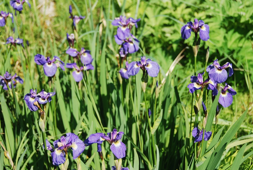
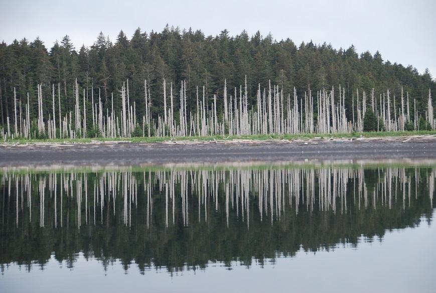
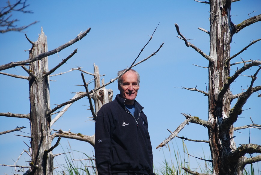
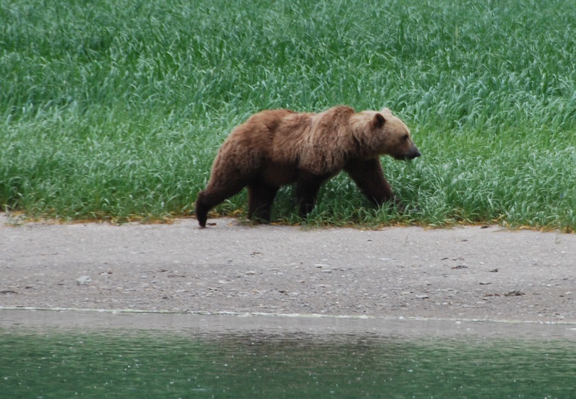
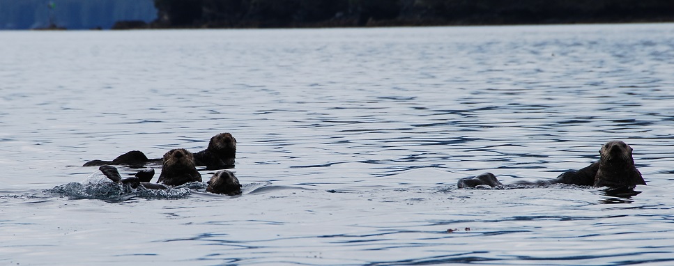

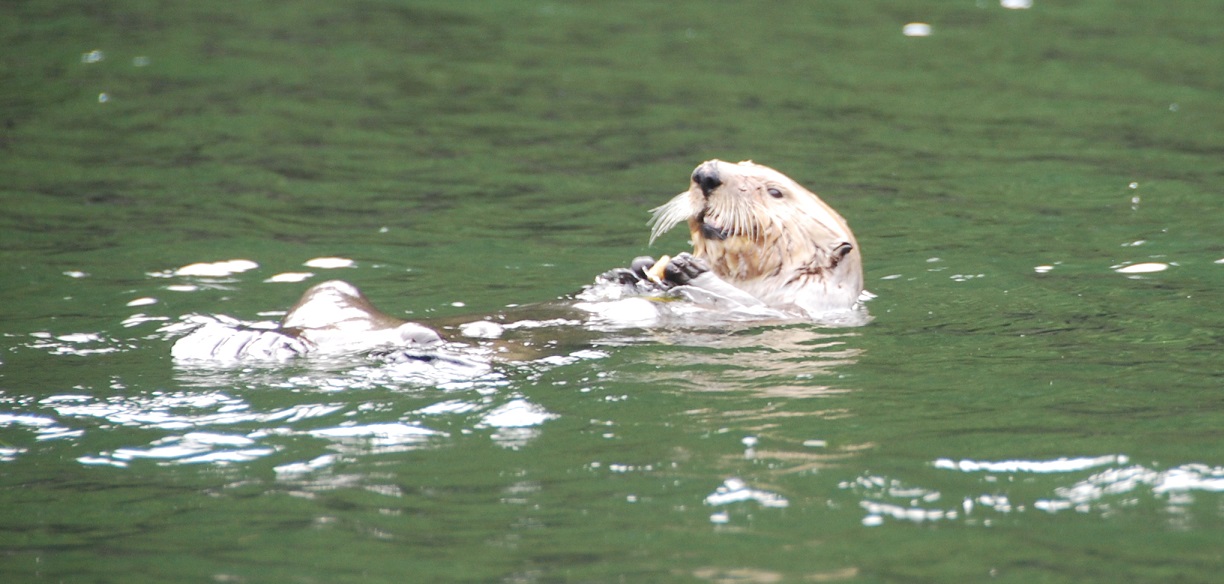
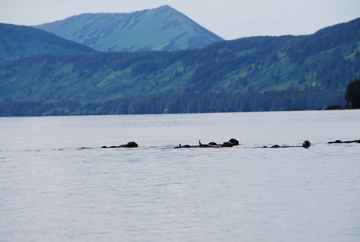

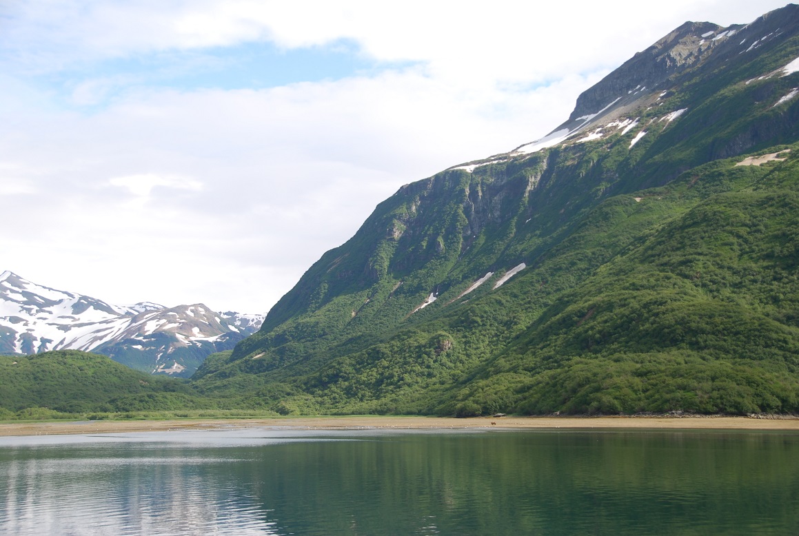
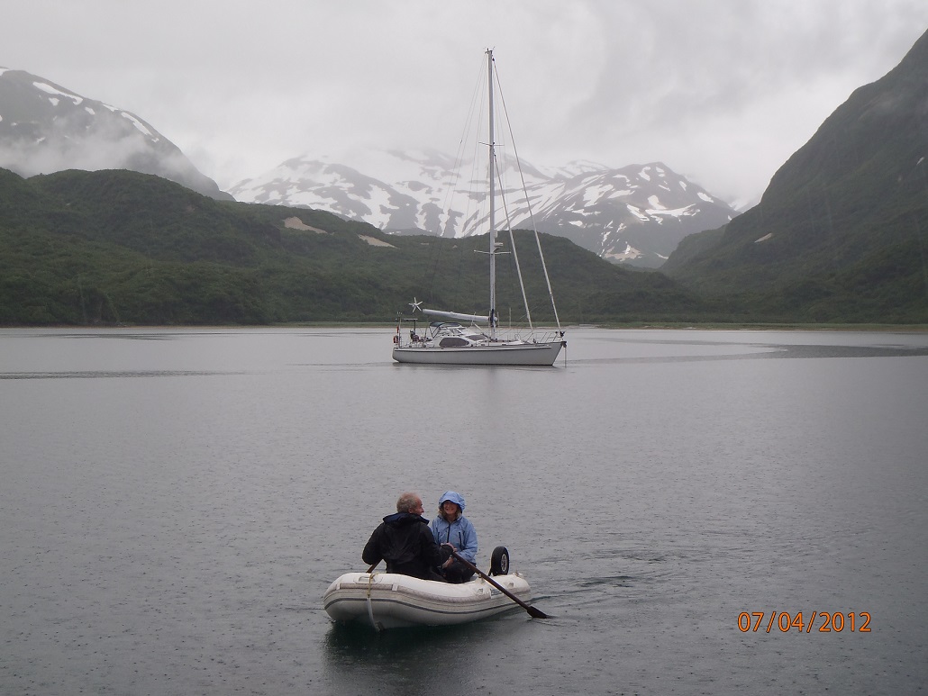

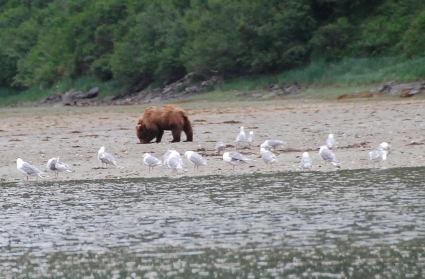


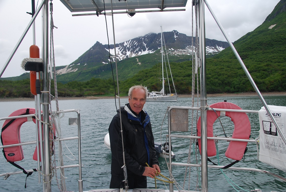
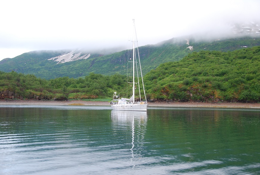
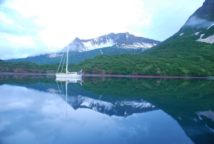
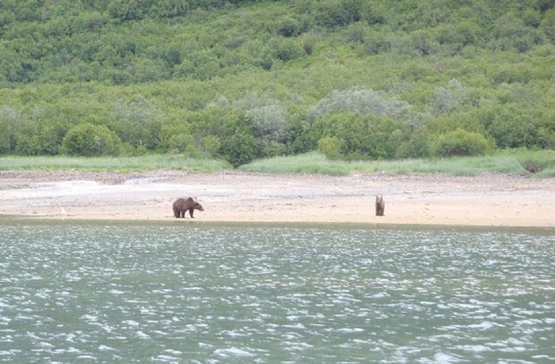

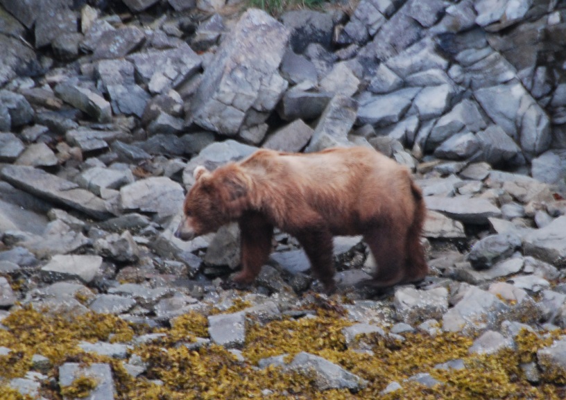
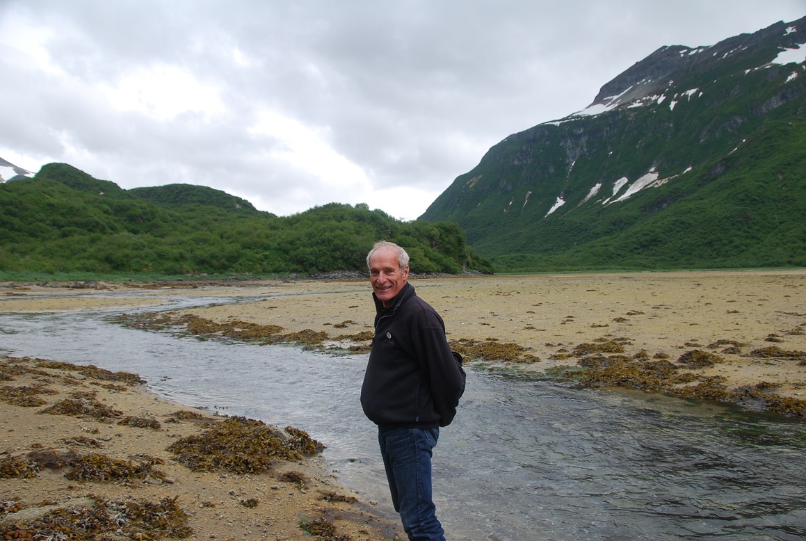

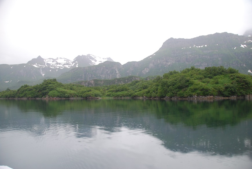
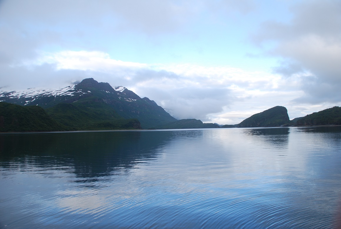


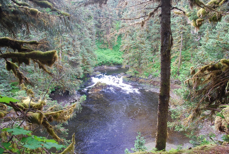
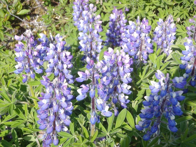
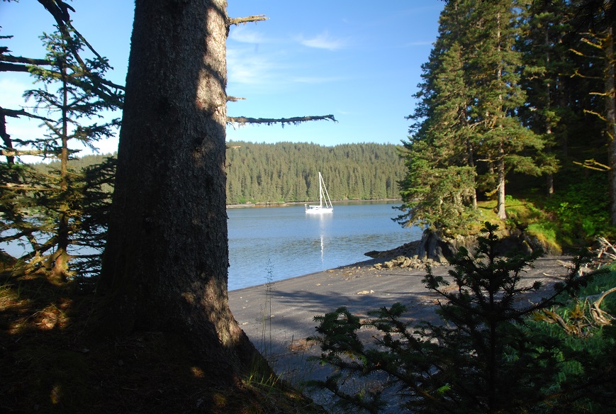

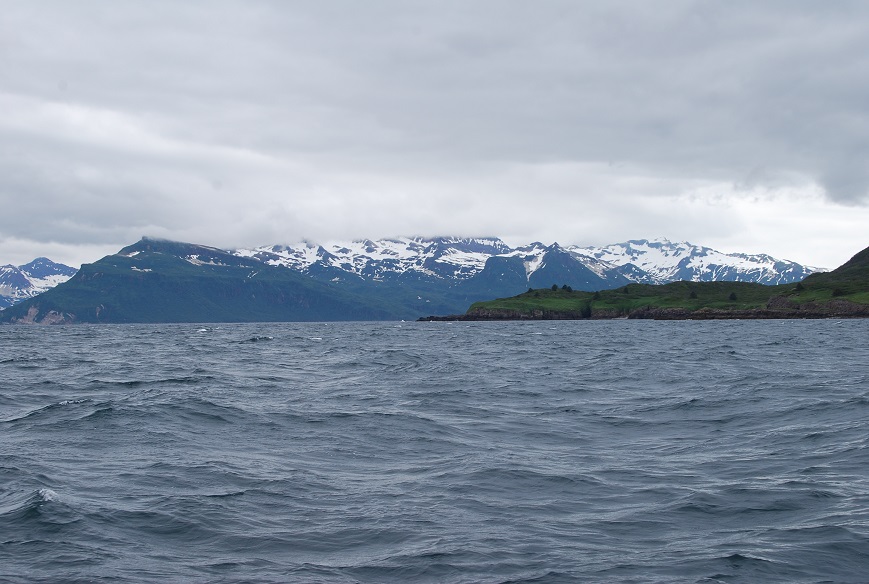
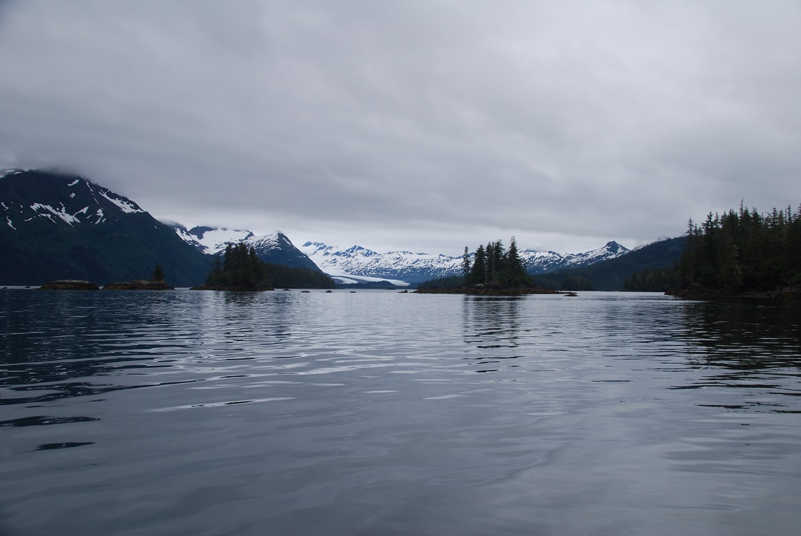
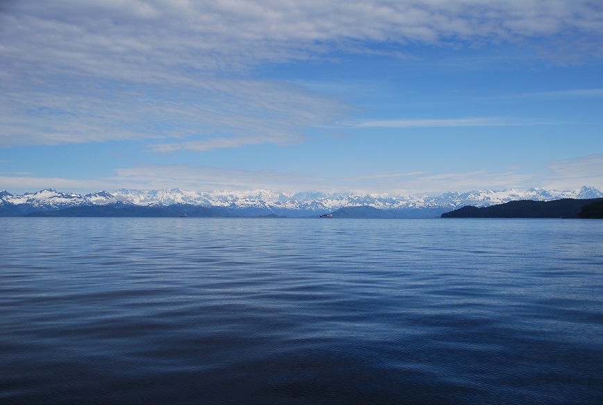
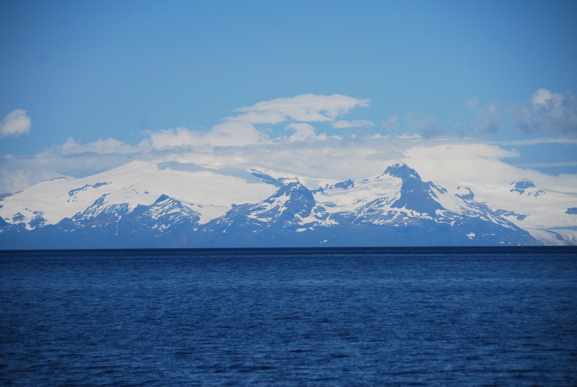
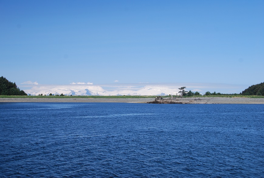

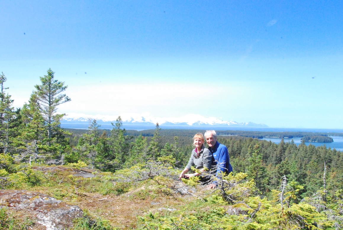
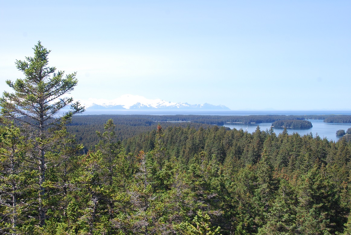


Click here for — Part One Passage-making: Marshall Islands to Honolulu
Part TWO: Passage-making from HAWAII to KODIAK, ALASKA (Capt. John Totten and Doug Agnew, crew)
Sailing north starts with a slight diversion west to visit Kauai where Doug’s friend is working. The guys enjoy some R&R before their big journey.

![]()
![]()
012/04/27 04:42 LATITUDE: 22-10.46N / LONGITUDE: 159-41.24W COURSE: 069T; SPEED: 6.4
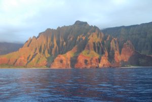 Cruising up the NaPali Coast at sunset in flat calm – Stunning ++
2012/04/28 19:05 LATITUDE: 22-12.68N / LONGITUDE: 159-30.15W
Raynad: Departs today for the 2100nm to Kodiak
PASSAGE-MAKING JOURNAL: Doug Agnew & John Totten SV Raynd Hawaii to Kodiak, Alaska
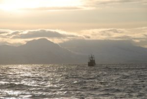
2012/04/29 03:00 LATITUDE: 22-39.15N /LONGITUDE: 159-25.97W
COURSE: 008T; SPEED: 7.2 ;WIND_SPEED: 25 ; BARO: 1019
Averaging 7.5kts for 1st 25 miles. Great sailing.
So our first sunset at sea on this part of our trip. I already have my Thrift Shop polar fleece on cos its chilly out here on the water so thanks for that suggestion Kris. We are doing better than 175 mile days for our first 50 miles with a forecast that says the winds will let this continue for three days which would mean we would cover the first 500 miles (24% of the trip) in 3 days. Lets see if that turns out to be the case. We are in Track mode with our new heading indicator which does not drift so we can sleep while Raynad shoots right down the line to the first waypoint which is of course Kodiak, 2106 miles away. I will wake up tomorrow and the 2200 miles will be down to 2000.
Only one bird so far but it didn’t deign to land on Raynad. We are both well and really encouraged to be on our way . Doug cooked up some Mahi Mahi and pasta with cheese so we are well fed. The boat is terrific and the new wind generator putting power into the batteries as we sail so we are flush with electrons.
So far, we are eating miles at a colossal rate and should be there ahead of schedule.
2012/04/30 04:27 LATITUDE: 25-49.83N/LONGITUDE: 158-52.65W
COURSE: 009T ;SPEED: 7.4 ;WIND_SPEED: 17; WIND_DIR: E; BARO: 1022
Still zoomin’ along at 7-8 kts. A tenth the distance in a day!
Sunset here and so watch change for the night. Its been a beautiful sunny day with lessening swells and 8+kt average speeds. Now we are entering a line of rain squalls with torrents of rain but no wind so far. Forecast is for lessening winds and flattening seas for 2-3 days then two days of motoring. We will see. I will miss the amps from our new wind generator which is fabulous and totally silent. Doug cooked up fish tacos served with cilantro and onions. The plate was an A++ for presentation and color. Alas no wine.
2012/04/30 18:14 LATITUDE: 27-31.04N /LONGITUDE: 158-34.55W
COURSE: 010T; SPEED: 7.9; WIND_SPEED: 24; BARO: 1025
1 degree short of where we turned to go to Hawaii. Barometer says 1025 and the skies are 100% clear. Winds still 25kts but we must be touching on the High Pressure Systems ahead. Doug and I keep the boat cranked up while we have the winds and wonderful flat seas. Easy to make 200 mile days in this. We are both well, sleeping solidly when off and wrapping up at night cos it is getting cold. Today however is sunshine. We both read Flying Magazine during the day – I got a dozen of them from the Laundromat in Ka Olina
2012/05/01 05:09 LATITUDE: 28-51.90N / LONGITUDE: 158-19.91W
COURSE: 013T ;SPEED: 7.1; WIND_SPEED: 17; BARO: 1024
closing in on 30N with still excellent weather
(written by Doug) Another wonderful day of sailing is coming to a close, and night is looking to be another starry and breezy gem. These past three days have been some fantastic sailing, making good distance without banging into waves. I can even cook it’s so comfy – tonight I made a stir fry, while last night I made fish tacos from some caught mahi mahi. Ah yes, enjoying the last bit of sun and warmth before plunging into colder waters.
The waves are actually rockin me to sleep – the first time this whole trip in fact. These past days of sailing have been wonderful, both because of our awesome speed but also because the boat is moving so gently through the water, as opposed to crashing continually against waves (we liked to say we were bulldozing the sea on our last leg). Still, it’ only 4-5 hrs of sleep, but hey, I saw that coming.
2012/05/01 16:12 LATITUDE: 30-03.51N / LONGITUDE: 158-06.79W
COURSE: 008T; SPEED: 6.5; WIND_SPEED: 13; WIND_DIR: E
BARO: 1025
Ghosting along in light winds under clear skies. Winds are down to 13 knots but the boat is keeping up 6kts+ which means we don’t have to motor. The weather forecast ahead is full of mixed messages but so far we have had nothing but E winds and flattening seas. Another beautiful day sailing. Clear blue skies, good winds and flat seas. Made 175 miles/day for the first 2 days putting us well ahead. No we are at 29′ which is above where we turned back to Hawaii and just exiting the trade winds. So at sunset tonight the winds are fading – 15kts or less and the boat speed is down to 7 kts from 7.5+. The wind gererator output barely keeps up with the boat and no longer charges the batteries so tomorrow we will have to run the freezer off the genset – a first since we left, Not bad really. Barometer is steady at 1024 which means we are still heading between the two high pressure system above us – a wind shear zone. We could get headed or might be lucky if we stay east. Still on Track Mode with our new heading indicator – no wandering, the boat goes straight down the line. We haven’t changed heading since we left. Doug did a stir fry tonight with veggies from the farm and ginger from the store. We are both well. Remarkably good team. Never an angry thought. We read a lot and kick back. So far enjoyable – but as for the onward part, we will see. We have done 407 miles of our 2200 trip. Doesn’t sound like much but we are not yet into our third night at sea and already 18% done.
W e are doing 5 knots in 5 knots of wind. Must have some current. Still sailing ‘cos there is no flogging in the sails yet. Genny is running to keep everything powered up. I am scrubbing out the toilet (stains from that repair I did up top). It cleans up well. Forecast is a for a little extra-tropical cyclone baby thing to split the N Pacific High and bend the isobars wildely so there are 29 knot winds and 5m seas in our path but we have slowed quite a bit and should miss this, picking up the SW flow behind it which will be great. Actually had an AIS target show up – 38 miles away, then disappear. Lonely out here. No Sheeps, no birds, but increasing trash so I will have news for the RADTriage
2012/05/09 00:57 LATITUDE: 44-55.19N / LONGITUDE: 155-39.29W
COURSE: 005T; SPEED: 7.0
Enjoying some sun and speed at the moment
2012/05/02 03:38 LATITUDE: 31-02.05N / LONGITUDE: 157-54.36W
COURSE: 011T; SPEED: 6.5; WIND_SPEED: 7; CLOUDS: 70%; BARO: 1024
Motoring @ 6.7kts and crossing shipping lane
2012/05/03 04:24 LATITUDE: 33-43.33N / LONGITUDE: 157-24.67W
COURSE: 009T; SPEED: 4.2; WIND_SPEED: 15; WIND_DIR: N
CLOUDS: 100%; BARO: 1024
Wind is back, but right on our nose. As of now we are motorsailing into 12 knots waiting for the wind to swing around a bit. We expect to be sailing into the wind through the night. As soon as we crossed the Tropic of Capricorn @ 33 1/3 north the temp dropped 10 degrees and it got really gloomy so we are now officially in the Pac NW
2012/05/03 17:40 LATITUDE: 35-06.77N/ LONGITUDE: 157-11.09W
COURSE: 017T; SPEED: 6.3; WIND_SPEED: 15; WIND: NNE
CLOUDS: 100%; BARO: 1030
Cold and Wet – Hard on the wind. Are we there yet?
2012/05/04 00:41 LATITUDE: 35-56.66N/ LONGITUDE: 157-00.93W
COURSE: 009T; SPEED: 7.1; WIND_SPEED: 15; BARO: 1029
Cold and Wet – beam reach! like the trades, just colder
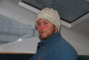 I checked the forecast this am. We left Hawaii in 22’C weather and are now at 18’C Over the next 7 days the temp will drop 1’C every 12 hours to 4’C. We will still be 500 miles from Kodiak! Maybe Jodie should send me her Ice Hammer?
Doug just can’t stay off the radio and downloads tons of grib’s and spot forecasts so we have a really good handle on that. Winds are lighter today and the cloud cover only thin/100% so we have the warmth of the sun. I have changed to my sleeping bag and fleece liner which promises warmth to replace your absence 😉 Sheets and downy end up in a huge drafty ball. Also Doug and I are BOTH wearing Nana’s beanies – day and night. Just shows you, even with Doug’s hair his head still gets cold. Sleeping with the beannie is the only thing that keeps my toes warm.
The boat is going better than ever. Doug and I are right on top of it and have some new tricks for that 20-25 knot hole so we keep it pressing the seas along. It is such a good boat on the wind because of all that lead in the keel. I have also modified the wind generator setup to stop it swinging around as the boat sways and am getting amazing amounts of power from that which tickles my fancy no-end. Its totally quite too when it is arranged thus so it has dampened even he little wind noises that it made as it swung around.
2012/05/04 11:09 LATITUDE: 37-05.98N / LONGITUDE: 156-47.57W
sv Raynad: chilly night as we slowly move north
2012/05/05 03:21 LATITUDE: 38-47.65N / LONGITUDE: 156-27.61W
COURSE: 009T; SPEED: 7.5; WIND_SPEED: 25 ; SWELL_HT: 3.0M
CLOUDS: 100%; BARO: 1020; AIR_TEMP: 17.0C
70 miles to the halfway point
Visibility is 2 miles under an occluded front meaning opaque drizzle, not quite fog. Winds are 20 kts right behind us so we have the Yankee poled out opposite the main and are doing 8kts surfing and wallowing our butt and wiggling our fanny, screwing around something ….. Winds are building and it will be dark in 2 hours so we need a plan for the night. Doug is cooking curry. We need something with fire in it
10:30pm.
We are 59 miles from the half-way point and across the 39th parallel heading for the 40th. Half an hour ago we gibed onto port tack which means we are done with the Easterlies that have blown us all the way from Kiribas to here. No we take on the Westerlies. Now Doug is snoring in the passage berth and my bedding has slid to your side of the bed. It’s damp and dreary right now because we are under an Occluded Front. There is a near full moon (the one you are looking at) but outside it is pitch black because of the thick cloud cover. The wind is whistling through the rigging, the autopilot is whining away and we race through the night. We have to cross four shipping lanes between here (39′) and 45′, all shipping between W USA and Asia. Thank goodness for the AIS which remains silent (no more false alarms) but does work ‘cos I hailed a passing freighter and he gave us a 10+ for signal strength.
2012/05/05 16:29 LATITUDE: 40-13.45N / LONGITUDE: 156-20.30W
COURSE: 010T; SPEED: 5.3; WIND_SPEED: 10; WIND_DIR: NNE
SWELL_HT: 3.0M; CLOUDS: 100%; BARO: 1016
Past the halfway point!
2012/05/06 03:37 LATITUDE: 41-15.89N / LONGITUDE: 155-57.64W
COURSE: 009T; SPEED: 5.8; WIND_SPEED: 12; WIND_DIR: NW
CLOUDS: 100%; BARO: 1017
down to the triple digits for distance!
So we are 993 miles from Kodiak. Have crossed the 40th parallel and also crossed the midway point. To celebrate, we switched the GenSet on, ran the heater and had left-over spaghetti. We ate it with the usual outfits of Mums woolen beannies, Thrift Store jackets, Dougs Ski Jacket and my double layered polar fleece) and with leggings and rubber boots. We looked for all the world like street people at a soup kitchen celebrating another successful night on the church steps when we actually woke up again and could straighten out enough to stand up. We survived !
Ahead are two nasty storm systems, one forecast for tomorrow night and one about four days on. We have decided to heave to tonight to kill time and prevent us running into that first squash zone with 35mph winds on the grib and 5.8m seas so we will loose 12 hours to that and maybe do that again for that second storm. This will all delay our arrival, but even then we will be there in 7-8 days which is mid month and with lots of time to spare. As it is we have knocked 3 full days off the first 7 of th VPP projected trip, averageing 6.8knots to date instead of 4.8
The Pactor Modem quit working so I worked on it and it turns out it is the cold that is the problem. If you let it heat up for a few minutes it works fine – Scary though ! The Wind Gen quit also about two days ago. I worked and worked and awoke this .am and Bingo – had the answer. The controller has mercury contactors (liquid mercury) and at angles of heel – or just rolling about, it disconnects the output so I bypassed the controller and it works now – though unregulated. I emailed the US distributors. Wind Turbines are not built for sailboats.
2012/05/06 16:22 LATITUDE: 41-29.35N / LONGITUDE: 156-02.57W
COURSE: 004T; WIND_SPEED: 24; BARO: 1017; AIR_TEMP: 12.0C
Hove- to last night to avoid bad weather ahead
(Doug wrote): We saw the moon last night, briefly, as we were dealing with sails. We fore-reached last night, similar to heaving-to, to try and let the bruiser of a storm ahead of us pass in front. We’ll probably begin sailing again today, and just take it as it comes – though we certainly don’t want to tango with that sucker up north (which just happens to be sitting on Kodiak, like some giant on his gold). We took the opportunity of a long night’s rest last night and were able to get about 5-6 hours each, more than we usually get, so I’m feeling refreshed but obviously still fatigued, as the run-on sentences in this email testify to. Today we can also see the sun for the first time in some many days, and even though it’s not warming it’s nice to have around.
9am –
Underway again under clear blue skies and 22knot winds on a close reach. We both had a full nights sleep under toasty fleece and sleeping bags. It is cold with temp forecast at 2’C in Kodiak. Some swell but no slamming. Got the pactor modem working again by using independent power and keeping it on 24*7 to keep is warm. Wind generator is pumping out gobs of power after bypassing the new controller so I have to watch not to overcharge the batteries esp since refrig/freezer never warms up once down (!!). So running with the inverter + computer on 24*7 and still charging batteries.
This is a GREAT boat for up here. We spend the time in the pilothouse which is warm with cooking and electronics and living (forepeak is freezing by comparison), chat and live while at sea very comfortably, watching the AIS and attending to the horizon and the sails as we need to. Never a feeling of being ‘down below’. Once I get the heater working we will be in terrific shape indeed.
Hove to again – couldn’t make useful headway against 35knt headwinds. Its out of the north so it is Arctic air which means a chill factor of 1000% but clear blue skies and SUN. Seas are washing machine. We will have to wait longer to get around this little snot, then on towards a big bruiser forecast up north. We are going to try and get some ‘westing’ to be on the back of that one for the run to Kodiak. sv Renova sets out today for Vancouver – they have become very interested in our progress so far ! sv Tiaka is about 600 miles from Hawaii struggling to make Kauai and not miss landfall. So Raynad is way ahead of other hopefuls 🙂
2012/05/07 06:30 LATITUDE: 41-57.06N / LONGITUDE: 155-58.12W
COURSE: 001T; SPEED: 5.6; WIND_SPEED: 24; WIND_DIR: NW
WAVE_HT: 2.0M; SWELL_DIR: NW; SWELL_HT: 5.0M
BARO: 1024; AIR_TEMP: 9.0C
Motor-sailing into strong winds and seas
10:30pm –
We are motor-sailing into big winds and seas, trying to keep moving on towards Kodiak and hoping to get there after this and another big buster. Two gales. We are on the edge of one and another awaits. We have had 45kt winds and 5m seas. Temp is 9’C. Occasional sunshine has been welcome in these arctic winds.
2012/05/07 12:29 LATITUDE: 42-33.26N / LONGITUDE: 155-54.64W
COURSE: 351T ; SPEED: 6.7; WIND_SPEED: 28; WIND_DIR: NW
WAVE_HT: 2.0M; SWELL_HT: 4.0M
Sailing into 28kts and flattening seas
2012/05/07 23:56 LATITUDE: 43-24.31N / LONGITUDE: 155-52.87W
COURSE: 002T; SPEED: 4.6; WIND_SPEED: 28; WIND_DIR: NW
WAVE_HT: 2.0M; SWELL_DIR: NW; SWELL_HT: 4.0M
CLOUDS: 40%; BARO: 1027; AIR_TEMP: 5.0C
Slowly but surely, we make north
Playing cat and mouse with two gales here. One has gone through but another is only now forming and blocking our path. We are hanging back hoping to be on the edge of it Wed @ 50N before a sail towards Kodiak starting Thursday earliest arriving early next week. 855 miles to go from where we are now.
Seas are all a mess and there are endless 35kt gusts so boatspeeds are 3.5-4kts with four reefs in the main and the staysail. Lots of shipping on the AIS but none in sight so we are thankful for that little luxury. I have two of Nanas wooly hats on our Pactor modem and keep it on all the time so it is toasty warm and now works fine.
We are fine. Right now I am on watch 9pm in the pilothouse sitting at the nav station inside my sleeping bag and polar fleece liner, fully clothed complete with thermal long john’s levis, three polar fleece sweatshirts and a doub;e thickness polar jacket from the Honolulu Thrift. Oh – and I also have a cellular blanket around my neck and Mum’s woolie beenie on. My computer modem that talks to you has TWO of Nanas Beenies on cos it doesn’t work when it gets – – – -.
2012/05/09 00:57 LATITUDE: 44-55.19N / LONGITUDE: 155-39.29W
SPEED: 7.0 – enjoying some sun and speed at the moment
2012/05/09 15:14 LATITUDE: 46-20.51N / LONGITUDE: 155-36.66W
COURSE: 356T ; WIND_SPEED: 35-45
heading downwind under triple reefed main and staysail
We are 667 miles from our destination, sailing through a gale – winds of 42kts and seas of six meters. It is 7’C inside the boat since we have no heater.
So we have just hit the exit ramp for this huge storm. Barometer fell 32MB in 10 hours. Max gust was 65kts with sustained 55kts. 64+ is a hurricane according to Beaufort Scale. Winds are dying down but the seas are washing machine. So now we do the night watches and tomorrow set full sail for Kodiak. Forecast is for excellent sailing. We have 611 miles to go. All is well. No problems, no ‘issues’, just cabin fever.
2012/05/10 04:09 LATITUDE: 47-41.05N / LONGITUDE: 155-49.70W
COURSE: 337T; SPEED: 6.5 ; WIND_SPEED: 35; WAVE_HT: 2.0M
SWELL_DIR: SSW ; SWELL_HT: 5.0M ; CLOUDS: 100%
BARO: 1005 ; AIR_TEMP: 5.0C
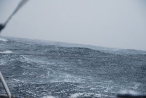 Yeeehaw! rode through the storm, hurricane force winds!
Based on our barometer, we’re out of the worst of the storm! The next hours will be spent dealing with changing winds and confused seas, but afterwards it looks like wonderful sailing up to Kodiak. At last.
(written by Doug) We made it! it was quite a storm – the highest wind gust we saw was 68 kts, which is hurricane force! John and I survived the day on ginger snaps and candy, occasionally reheating our hot water bottles so our fingers didn’t freeze off. And just as the storm was abating, a giant container ship came out of nowhere bearing right for us! Well, i just called the captain of that ship and said “look here, mr captain, you may have a big ship and all, but you’re gonna have to step aside for ‘ol raynad, you see?” and she did.
Today broke with partially sunny skies, colder temps (now we have arctic winds blowing) and a wonderful forecast of good winds and small waves for the next 4 days, which is enough time to make it pretty much there. But, i won’t count my eggs until they hatched.
2012/05/10 15:05 LATITUDE: 48-34.06N / LONGITUDE: 155-46.96W
561 miles to go.
Today broke with partially sunny skies and a steady 15-20 kt wind on our beam, allowing us to pretty much make a due course for Kodiak. the storm yesterday was definitely something, we saw 68 kts of wind at one point – that’s hurricane force! we’ve noticed the tendency of noaa forecasters to understate the strength of the weather they’re forecasting. So, it’s back to normal sailing routine. We have hot water bottles we are constantly reheating to keep warm, and a steady supply of Ramon and instant oatmeal to keep the home fire burning.
2012/05/11 02:21 LATITUDE: 49-49.44N / LONGITUDE: 155-15.44W
closing in on 50N, averaging 7.5 kts
Good day today – we are 482 miles to go with terrific forecast for the next two days. Making 7-8 knots in 15kts wind and subsiding swell, 180 miles/day easy right now but winds will slacken slowly towards weekend. Landfall Sunday, cruise up the coast. Monday looks to be our day into port
2012/05/11 16:41 LATITUDE: 51-12.09N / LONGITUDE: 154-46.57W
AIR_TEMP: 3.0C – less than 400 now, working with a light wind
2012/05/12 02:57 LATITUDE: 52-18.33N / LONGITUDE: 154-20.59W
COURSE: 019T; SPEED: 6.3; WIND_SPEED: 18
Still sailing, right on track for Kodiak. “Only” 329 miles to go, so about 2.5-3 days. The days definitely are boring now that we don’t have a storm to contend with – that is not a complaint, mind you. We’re actually getting some fair wind at the moment, and the sea has calmed down a lot. Still cold enough to freeze the balls off a brass monkey. All our beer is frozen!
Fairly good sailing for the moment; shifty but generally good winds from the west, and barely any swell to speak of (well, by now 2 meters feels like nothing. at least it’s long period). We continue to live by the hot water bottle and hot drink, with periodic consumption of hot spicy food. In emergencies, we pull out the Jim Beam.
2012/05/12 09:40 LATITUDE: 53-02.91N / LONGITUDE: 154-03.00W
SPEED: 7.4 – We have 288 miles to go.
Seems that we are entering the wave shadow of the AK Peninsula because the seas are eerily flat and so the boat is HAULING. We are doing 7.7<>8.7 kts through pitch black night in track mode with Kodiak Harbor in our teeth. Yankee and one reef in the main. Autopilot is amazingly silent as we fly across the surface of the water like a Volvo Open 60.
I am on watch at 11:11pm 6’C in the boat. I am in my sleeping bag with a thermos of boiling water within a sock inside the bag around my feet. The tip of my nose has been numb and dripping for a week. My hands are stiff and leathery from cold.
At this speed we will make St Paul’s harbor before sunset Sunday and this is the ETA I just emailed them but we have to better 6.5kts to do that. If we slow up we will have to decide if we should anchor out, heave to or enter in the dark. The anchor is on the stern rails. In any event we should see land Sunday and could cruise the coast a little bit if we are making good time.
2012/05/12 14:52 LATITUDE: 53-36.57N / LONGITUDE: 153-49.36W
COURSE: 012T; SPEED: 5.8; CLOUDS: 100%; BARO: 1002
Snowstorm obscured 350m cargo ship !
Just sailed through a snowstorm at 4am and sure enough in the middle is the Anna Mearsk – 352m & 42m * 14.7m 14nm ahead and crossing our bows. Never a bigger ship than that !
Snow last night and again this am. At 55’N we are 3 degrees above the arctic ice cap which comes down to 52′ in the Bearing Sea as seen on the weather fax Ice Charts. Also, the last shipping lane was by far the busiest. We saw 4 ships last night, huge ones (>300m), all within a degree of latitude.
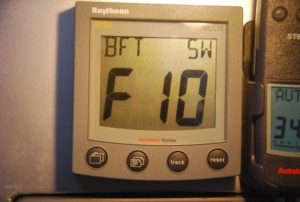
2012/05/13 00:19 LATITUDE: 54-39.91N / LONGITUDE: 153-27.77W
COURSE: 025T; SPEED: 7.5; WIND_SPEED: 58; WIND_DIR: W
WAVE_HT: 6.0M; CLOUDS: 100%; BARO: 1002

Third Gale in 7 days. snowing !
It seems Neptune is having the last laugh. It’s blowing 30-40 kts – luckily towards Kodiak – and it’s forecasted not to let up basically until we hit port.
Storm #3 = Max Wind Gust 84.3 kts / Max boat speed 13.4 kts
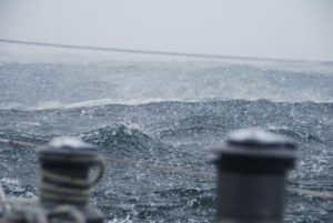
Blizzard with clumps from sails. I have some impressive pictures of the sea state
172 miles to go- 3 storm in 7 days.
Today max gust 84kts with blowing snow and clumps of ice falling from the sails. We are 55’N which is 3′ above the arctic ice limit in the Bearing Sea just on the other side of the AK Peninsula.
2012/05/13 15:02 LATITUDE: 56-05.69N / LONGITUDE: 152-43.34W COURSE: 011T; SPEED: 6.6
95nm to go. Motoring with radar. 6″ snow on deck.
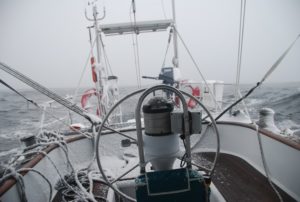 5am. Its light outside – fog. Motoring @6.6 kts against a 1kt current. Snow all over the boat with drifts filling the cockpit. Every now and then ice falls off the mainsail and clunks on deck. Dark inside the boat because the snow clings to the pilothouse sun shade and obscures the light. Using Radar and AIS. Too cold to be outside. Radio’s do not like wet snow so AirMail connections precious and hard to get. ETA at this speed means we will arrive in the dark.
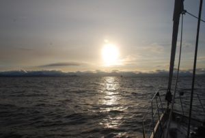

2012/05/14 03:04 LATITUDE: 57-24.75N / LONGITUDE: 152-12.65W
COURSE: 011T; SPEED: 7.2; WIND_SPEED: 20
25nm to go. Spectacular day and Awsome place
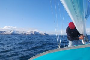
2012/05/14 07:47 LATITUDE: 57-47.15N / LONGITUDE: 152-24.61W
ARRIVED: Slip D17 St Paul’s Harbor.KODIAK, ALASKA – Snowing !
It was not so much a WOW moment as a PHEW moment. It gets tiresome being thrown about for weeks on end and not having the option of taking a break.
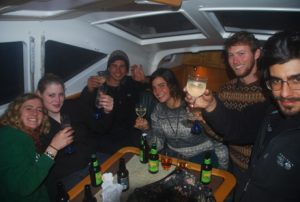
Today was a beautiful day in Kodiak – still air, clear skies, sun and sparkling mountains. Eagles everywhere/ All the fishermen are getting ready for their summer season – the docks ring with the sound of hammers, grinders and welders.

s/v RAYNAD – Marshall Islands to Honolulu
March 16, 2012
We left Aur at about 2:00pm this afternoon and are briskly on our way to Midway. We had a wee toast of bourbon – compliments of Doug – which we shared with Neptune:) So far conditions are perfect and our current speeds are 7.5-8.5kts! It’s 6:30pm and our position is :08:39.405N and 170:53.079E on a course of 336. Once we get above Moelelap, we’ll turn as much east as possible. Doug’s in the kitchen cooking up pasta for dinner, John just finished a shower, and a beautiful sunset colors the horizon.
![]() 2012/03/16 ( 08-42.32N / 170-51.83E) COURSE: 337T, SPEED: 8.4
2012/03/16 ( 08-42.32N / 170-51.83E) COURSE: 337T, SPEED: 8.4
03/17/12
We’re doing fine, just bouncing along heeled over running 3hr night watches and 4hr day watches. It’s really nice to have Doug on board to share the schedule and also to help John with repairs and sail adjustments. Our drama yesterday was to have one of the strips for bracket holders in the refrigerator break free and cause all the stuff in the fridge to collapse. Much to my relief Doug and John were able to fix it.
2012/03/17 18:49 ( 12-11.58N / 171-32.77E) COURSE: 000T ,SPEED: 6.9
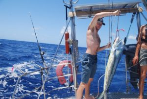
03/18/2012
It’s been a good day. For awhile we were making a bit of progress to the east, the seas have been much calmer and our boat speed mostly good. Doug caught a large MahiMahi this afternoon! That was exciting as everyone got involved in trying to get this large, thrashing fish landed on the boat. Looked like a crime scene after we were done! Great eating tonight – Doug cooked it with a bit of garlic – super yummy. We’ll have several meals off that one fish, so we are no longer at risk for starvation.
2012/03/18 06:40 ( 13-20.87N / 171-55.05E ) COURSE: 013T ; SPEED: 5.2
2012/03/19 05:53 (15-02.35N- 172-46.71E ) COURSE: 097T ; SPEED: 5.0
WIND_SPEED: 30;WIND_DIR: NE ; WAVE_HT: 4.0M ; SWELL_HT: 3.0M Storm really kicked up – very rough
We are totally getting slammed right now with an unexpected storm. The forecasts all said light winds 10-15, but we are currently in 30-35 and big seas, not my favorite sailing. We have three reefs in the main and only the staysail, but are really pounding into it. Keep your fingers crossed for smoother seas ahead. Doug’s on watch now, so he’s the one getting drenched…I’m up next.
Position: 15:02.206 N / 172:47.654 E
03/19/2012
It was in fact a total surprise to get hit with such strong winds, they topped out at 45kts with the boat slamming into the waves. Fortunately after about 5hours of that, the winds began to lighten until we spent the night with mostly 15-20kts and now this morning have very light 5-10kt winds and the seas are much calmer.

03/20/2012
So today was high adventure on the fishing rod. First a fish hit the line and it gave such a battle that it took ALL of the line and snapped the final knot! All was lost. So Doug and I rigged up a whole new line and lures to try again. Second catch of the day was a sea bird!! Doug was on watch and saw the bird approach and then just dive for it and come up with a terrible shriek. Poor thing was terrified. We all hustled- Doug was finally able to safely get ahold of the squawking bird while John tried to take a photo and I tried to get the hook out with some pliers. The hook had gone through the cheek, just behind it’s beak. After much trying, including the bird angrily snapping at me, we finally got the hook out and with a gentle toss it took to flight and went as fast as possible away from our boat! I don’t think that bird will be trying again to catch food near boats. We’d been watching various birds come by and show intense interest in our lure bouncing on the water, but we really didn’t think that one would go for it. So, now we’ll reel it in if we see another one come towards the line. We get a lot of booby birds flying by and circling the boat, craning their necks to look at us – its’ very funny:)
2012/03/20 21:02 (15-08.46N /174-58.35E ) COURSE: 113T;SPEED: 6.3
Calmly rolling along w/ light winds
We’ve had a rather nice day of sailing, fairly light winds and not as much speed as Captain John would like, but we are making our way eastward which is great and I really like the calmer seas:)
After a couple of tacks last night, we are continuing to make easterly progress. The seas are calm with long, rather large rollers, however, we’re able to keep 6+kts of speed with only 12-15kts of wind. Current plans are to maintain our easterly course for about 200 miles, or as long as the winds are favorable, and then hopefully tack northward. It’s becoming less likely that we will achieve Midway so will either transit between the outer islands, or even make landfall in Kauai. All depends on the winds and currents. Fortunately, we have the time to alter our routing with the wind/sea conditions. For now, it’s very pleasant sailing along at this latitude:)
2012/03/22 02:27 ( 15-28.78N / 177-42.53E ) COURSE: 054T; SPEED: 5.2
Variable winds and speed.
John wrote:
4:58am and It is my watch as we motor through glassy seas under a starry sky and warm breezes too thin to use the sails. First time we have used the engine in eight days. The Big Dipper and the North Pole Star have kept me company showing the way home. Kris is asleep. The sky in the east shows faint shadows of clouds that in 90 minutes will be pink and fluffy but now are dark shapes against the earliest light of the dawn. We have 1200 miles to go of the 2000 miles that make up the first of the two legs of our trip to Seattle.
Kris and I always lose weight on a passage like this, but this time we have caught two huge MaiMai and also a seabird (Tropic Bird) that took our lure and had to be hauled aboard and de-hooked. It made its objections well known, pooped and squawked like there was no tomorrow and then when released, flew off and repeatedly shook its feathers, shook its head and screamed at the top of its lungs. Being so pissed off, we have not seen it since but the presumption is that it is fully recovered, I though of Kay and her skills nursing the budgies.
Only other vessel was a derelict Chinese fishing boat. We hailed them on the radio and got a clean clear Chinese voice back saying something unintelligible. We had briefly thought – ‘pirates’ and reviewed our on-board armaments (none) but they floated on across our bows looking even more derelict than ever – typical piece of junk that litters the sea beds around all the harbors here, blocking the access of other commercial traffic.
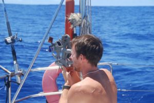
03/22/12
We’ve been motoring since about 3am when the winds dropped too much to sail, but the swell is still rolling by so we are at times really rocking back and forth. Looks like some clear skies for the morning. Yesterday we had some comfortable, fast sailing with mostly clear skies. All is well onboard Raynad.
03/24/2012
We’ve had a lazy night and day with motoring all last night and some easy sailing today, but now we’re back to the motoring for tonight because the winds have dropped so much. We crossed the dateline last night, so are having our second Friday! At least we are able to continue going eastward which is usually what causes problems since the winds and currents are usually west setting. Looks like the trip will take us many more days than expected though. We’re already out over one week and still have about 1100 miles to go before getting to Hawaii. 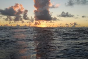 So, we just go with the winds and currents and see how we progress. Forecasts are for strengthening winds turning to the east and then northeast, so it’s to our advantage to continue going east before the winds force us to head north. Kind of nice to be out of the heavy storms that are happening north of Hawaii. Hopefully they’ll calm a bit before we get up there.
2012/03/24 22:25 (18-07.07N / 176-40.71W ) COURSE: 036T ; SPEED: 7.1
WIND_SPEED: 20 ; WIND_DIR: ENE ; WAVE_HT: 2.0M
Briskly sailing northward at 6.5-7.4kn with winds ave 20kt, heeled over with rougher seas, but ok. I did enjoy the calmer seas for a couple of days, the swell was still quite large, but still much easier than what we have now!
2012/03/25 19:34 (19-51.28N / 175-32.45W ) COURSE: 035T ; SPEED: 5.7
WIND_SPEED: 30 ; WIND_DIR: NE ; WAVE_HT: 3.0M
Tempestuous seas
Winds here have picked up and the seas roughened – NOT my favorite sailing weather. Doesn’t look like we’ll make landfall in Hawaii but just pass through the outer island chain. Already dreaming of landing at the dock in Washington!?!?
2012/03/26 17:14 ( 21-23.83N / 174-59.86W) COURSE: 016T ; SPEED: 4.7
All is well, a bit rough, but the boat is coping much better than me! As the winds blow, it looks like we will neither stop in Midway or at any of the Hawaiian Islands. Disappointing for sure, but either stop would be significantly out of the way now since we are currently on course to go between Laysan and Lisianski Islands in the outer chain (or there abouts.) The winds have dropped a bit and the seas are slightly less, so we are making better progress. Last night was pretty boisterous, we hove-to for an hour in order to run the generator and watermaker, which was a pleasant reprieve. We’ll heave-to again tonight for an hour break. Really nice to stop bashing for awhile.
2012/03/27 05:38 (22-26.09N/ 174-33.41W) COURSE: 034T ;SPEED: 6.0
Lovely watching the Laysan Albetross
Woke up this morning to sunshine sparkling on the water, calmer although still rolling seas, and the prospect of making it through the outer islands sometime tomorrow, so progress is being made. We’re hoping to have the wind more behind us as we progress northward which will be a nice relief from the current pounding into the wind and waves. We hove-to last night at sunset just to give everyone a break from the pounding and allow us to run the watermaker and for everyone to have a shower:) Because we are so heeled over, the watermaker sucks in air and gets plugged if we try to run it while underway. We are all disappointed not to be able to make landfall anywhere along the Hawaiian chain without making a detour south. In order to get to Honolulu now, we would have to tack about 500miles.
 2012/03/28 20:05 (25-12.20N / 172-53.62W ) COURSE: 010T ; SPEED: 4.3
Very light winds and calm seas
About midnight last night the winds dropped and now this morning we are sailing along at 4-5kts with light winds and nearly flat seas. We’re almost to Laysan Island which would be great fun to stop at, but unfortunately it is a nature reserve and the US Fish and Game may take a very dim, even aggressive view, of our stopping there especially since the rare Laysan Albatross are probably breeding there right now. We’ve seen a few of them, especially when the winds were stronger, as they soar by like giant glider planes. I’m hoping that we’ll spot more whales too, but so far only one last night. Doug is making buttermilk biscuits, John is walking the deck, all is very leisurely on board right now. We know this calm won’t last as the forecast is for us to be moving into some pretty strong weather systems in the next day or two. It’s getting cooler every night as we continue progressing into the north, just enough to need a polar fleece and a little cover for sleeping – still pretty warm and sunny during the day. Tomorrow we’ll likely get into rain.
2012/03/29 17:13 (26-11.27N / 171-30.20W) COURSE: 059T ; SPEED: 5.0
Booby Bird hitchhiking on the solar panel!
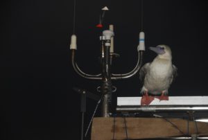 We have acquired a hitch-hiker on board Raynad….a booby bird landed on our solar panel last night during my 7-10pm watch and has taken up residence there it seems:) It’s really funny, it preens itself, tucks its head under its wing and sleeps, squawks a bit when the boat rocks too much, and this morning is still there just watching the other birds fly by! It’s really funny.
 ![]() Not looking forward to cleaning up the bird poo but it’s sort of sweet to look back at our new companion seemingly quite happy to just go along for the ride.
Not looking forward to cleaning up the bird poo but it’s sort of sweet to look back at our new companion seemingly quite happy to just go along for the ride.
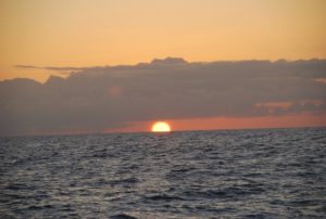
We’ve been motoring all night, no winds, super flat, mirror-like water last night. It’s starting to pick up this morning, so I think we’ll be sailing shortly. We’ve passed through the Hawaiian chain of outer islands, including a pretty close pass to Laysan Island, but alas no stop-over since it’s not allowed. The sky was filled with birds at sunrise..lots and lots of Laysan Albatross, it was really magical.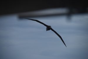
So, feels like we’re on the second half of the voyage, although statistically we’re not quite half-way.
2012/03/30 06:31 (26-25.56N / 170-59.74W) COURSE: 181T ; SPEED: 1.8
WIND_SPEED: 35-45 ; WIND_DIR: NE ; WAVE_HT: 5.0M
Hove-to due to stormy seas
We are currently hove-to about 60 miles from Laysan Island. Winds are strong out of the NE so we were really pounding along. We’ll hope for a wind shift by morning. The sea birds LOVE this wind – so it’s at least been entertaining to watch them.
 26-21.97N / 170-53.73W ; COURSE: 042T ; SPEED: 6.5
WIND_SPEED: 30 ; WIND_DIR: NE; WAVE_HT: 4.0M
Great seabirds! Sailing onward bashing away hard on the wind. 25-30kt winds making 6+kts with just the staysail and 3-reefs in the main! Pretty hazardous walking around the boat – I’m back to bed after sending these emails.We did hear the Yakwe net this morning, others came in loud and clear, but no one seemed to be able to hear us.
2012/03/31 20:02 (27-44.18N / 168-48.97W) COURSE: 057T ; SPEED: 8.1
Great sailing!After heaving-to we’ve now had a couple of days of brisk sailing, this morning being the best with sunshine and 8.2kts boat speed! Probably won’t last more than a day before the next front hits but we’ll sure appreciate it while it lasts. I think this trip will take much, much longer than we had estimated using the “trip planner.” At least Doug is flexible enough to stay with us, not that he’d have a choice now anyway!?!?
We are still being followed by one beautiful, large old Laysan Albatross. He’s really fun to watch gliding across the water pausing to take a look at whoever is in the cockpit when he passes. We’ve tried getting photos and even a video of the birds, but there is SO much motion in the boat it’s pretty impossible. The seabirds have been a real fascination. I can only imagine how cool it would have been to anchor near Laysan and watch them. Midway is supposed to have some unique wildlife too, including some special sea lions…oh well. I could say next time, but I’m not planning a repeat performance of this trip!
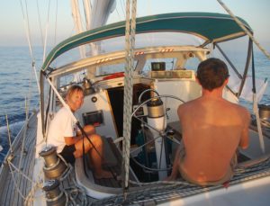 04/01/2012
Always changing is my description of this sail so far. Yesterday started out with great winds and speed, then the winds collapsed and kept switching so we got to endure the slamming sails, then the wind switched directions but gave us some decent sailing and now this morning we’re into the squalls and back to beating into the winds and waves. I’m doing ok, although only by using the patches – 1/2 over 3-days overlapping for 1 day. I don’t like the side-effects, but not using them is even worse (tried that.) We calculated 28-34 days for this trip, but we’re not even half way yet and are already on day 20. When I’m feeling good, I dream of food, otherwise I just dream of landing at a Q-dock!! Mostly, I try to keep my anxiety level under control since every time we look at the grib files we see new storm developments up ahead.
2012/04/01 19:30(28-39.89N /166-39.21W) COURSE: 074T; SPEED: 5.6 After a super day of sailing yesterday, we had a night of wind fluctuations – even motored through some calm, and yet at the moment we are hove-to again with 45kt winds and accompanying seas!
For all of our concerns about “easting”, now we’re struggling to get north and out of the edges and squash zones of the weather systems. Not fun – hoping it won’t last too long. Nonetheless, we are all fine just dreaming of some nice, consistent winds. We’re still rocking and bouncing around in tough weather and seas.
2012/04/03 05:14 (28-14.01N / 165-56.20W) COURSE: 134T ; SPEED: 6.4
Sailing SE – Back to squalls and beating
Big highs and big lows north of us, so we are kinda in the wrong area,and it has forced us to reconsider our plan to sail to Seattle. The strong weather systems in the North Pacific so strongly on the nose, heading us such that our only angles on the wind are either a southeast course or a northwest course. We’ve chosen to take the SE and go ahead and stay below as much as possible. Statistically we should be getting into westerlies, but the weather has a different idea. Even on this course we are beating into the winds and waves so it’s quite a rough ride. We’re having a bruise counting competition! That is if you can manage to hold one position long enough to bother counting. Doug is doing great – strong and young, he isn’t bothered at all by sea-sickness and is coping amazingly well with us two old folks.

He’s happy to cook, which is good because he is doing most of the eating:) We really appreciate having him on crew, especially during the cold, rough weather. It’s definitely nice to share the watch schedule among three too, everyone is getting some decent sleep, all things considered.
2012/04/03 21:12 (27-17.48N / 164-46.63W) COURSE: 134T; SPEED: 5.6
Seems we’re on the edge of the storms with strong winds driving us SE
We were hove-to night before last for about 12 hours and unfortunately the winds and seas were so strong they actually pushed us backwards at 3kts! Consequently we basically had to regain our 30nm once we were sailing again, so it looks like we didn’t move much, although we did only in a repeat fashion!?! The weather isn’t great and the trip is taking much longer than expected. We aren’t even half-way yet and have used up 22 days.
2012/04/04 18:22 (26-01.78N /163-29.60W) COURSE: 177T; SPEED: 5.7
Due to the weather and sea conditions which have kept our mileage low and sailing rough, we have decided to head to Honolulu. I need to be in the USA by no later than May 1st to report for jury duty in Sitka (crazy, I know,but I’ve already postponed and reschedule), so I’ll fly to Sitka from Honolulu. John and Doug will rest a week or more, and then set out to complete the journey to the PacNW, hopefully to Alaska. Doug can visit his girlfriend in Hilo, John can fix a few things on the boat and we can get some fresh fruits and veges. Hopefully by then, the conditions will have settled a bit. At least John and Doug will have a more flexible schedule. I’ll be sorry not to make the entire trip, but I will also be very happy to get away from the storms.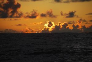
2012/04/05 20:49 (24-52.47N /162-00.31W) COURSE: 160T; SPEED: 5.6
Making progress toward Honolulu. It’s about 580 miles from where we turned, so a passage in itself.
2012/04/06 18:48 (23-16.44N / 160-53.98W) COURSE: 138T ; SPEED: 5.3
Funny how even though we decided to drop down toward Honolulu, we’re STILL sailing. Seems like it’s taking forever – hard on the wind, heeled over, bouncing along…getting more bruises! Hopes are to arrive in a couple of days. In the meantime, we are continuing to try and eat up any fruits,veges, meats, etc that Hawaii might confiscate. Had a great pork BBQ last night.
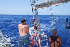 Doug caught yet another MahiMahi yesterday! It was a large and beautifully colored fish. Always quite an ordeal to gaff and get safely on deck, then fillet – looked like a massacre on deck!
 ![]() Fortunately, Hawaii will allow us to keep any fish that was caught offshore, so the guys will have quite a lot of fish to eat through after I leave. Since Doug is a good cook, they will not survive on noodles and peanut butter alone.
Fortunately, Hawaii will allow us to keep any fish that was caught offshore, so the guys will have quite a lot of fish to eat through after I leave. Since Doug is a good cook, they will not survive on noodles and peanut butter alone.
04/07/2012
No land birds yet, but lots of seabirds. The tropical bird and shag were really checking out the boat as a landing craft! But, the winds are strong, the boat heeled over and bouncing, so they had to work incredibly hard to catch up with us and then I think they realized that they’d probably get thrown off if they tried to hitch a ride. The lovely albatross (both Laysan and a very striking brown ones) are still with us. Sometimes they fly by really close and even stall a bit to give us a super look. They are the highlights of this voyage. We have winds hard on the nose so we are sailing but it’s very hard going – my bruises are multiplying exponentially! Can’t wait to pull up to the dock and get a full night of sleep on the flat without interruptions for watches. We’re all looking forward to it now…funny because we have about 160 miles left which is a typical passage between islands, so I’m trying to view it that way and not get too impatient.
2012/04/07 17:41 (21-52.62N / 159-36.53W) COURSE: 119T ; SPEED: 3.1
![]() Land-Ho Kuaui!!…. but sadly we must continue to Honolulu for check-in.
Land-Ho Kuaui!!…. but sadly we must continue to Honolulu for check-in.
We are cruising along the coastline of Kauai, not able to stop yet because we must go into Honolulu first to check-in which is still 95miles away, so even though we are near land, we must continue for another day. Beautiful though to cruise along the coast and view the lovely green farms and villages. We’re motoring right now so we can have coffee, etc, but will raise the sails soon and try to sail as much as possible, although the wind is on the nose again. Seems we can’t get away from the close-reach/ beating into the winds. All is well, we have cellphone signals now!!
04/07/2012 ARRIVAL OAHU 4:30AM !!
 Doug steered the good ship Raynad into the marina and we tied up to the dock. All aboard were ecstatic at our arrival, Kristy even kissed the dock!
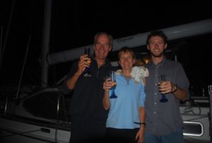
Champagne toasts – lots of happiness and big hugs.
Now we are ALL ready for a good CALM sleep:)
04/14/2012
We came into Honolulu, went through all of the customs and immigration check-in procedures, but are staying here for awhile. Turns out that we need to complete the documentation to import Raynad,in fact the USA only gives us 2 weeks from our arrival at the first port of entry into the USA to submit the paperwork. It’s just as well that we have the time and also have the resources here in Honolulu to make that all happen. This involves using a broker and of course paying the import duty. I’ll leave next Thursday to fly to Denver and then to Portland on April 26th and on up to Sitka arriving April 30th. We’re at a really lovely marina and are enjoying exploring around the island, sunset walks and having access to great food:) John and Doug will go over to Kauai for a couple of days and then start their way up to Kodiak, Alaska!
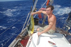

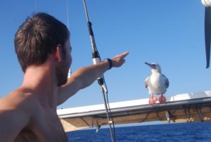
Click here for – Part TWO: Passage Hawaii to Alaska!
AILUK ATOLL – our favorite island


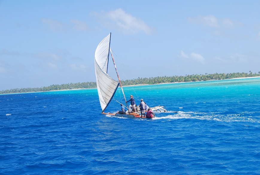
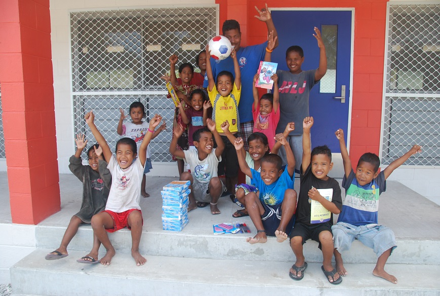

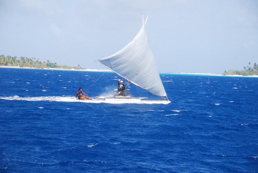
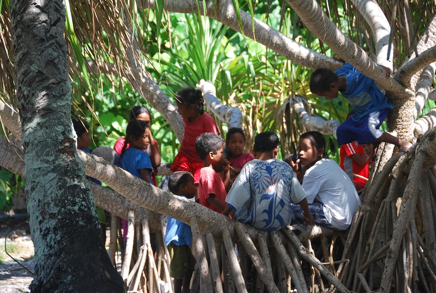


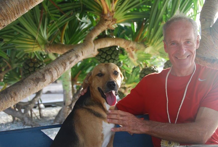
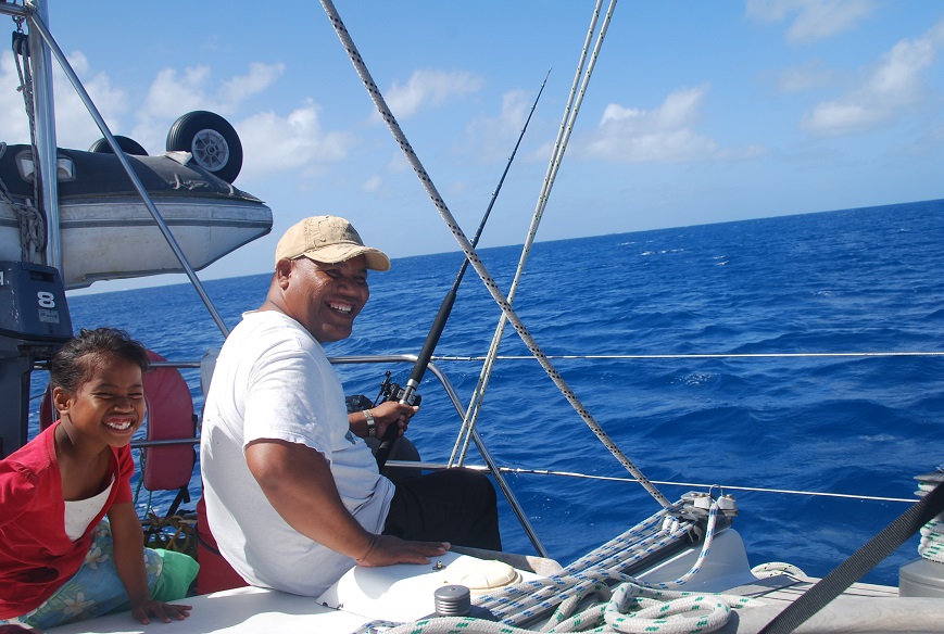
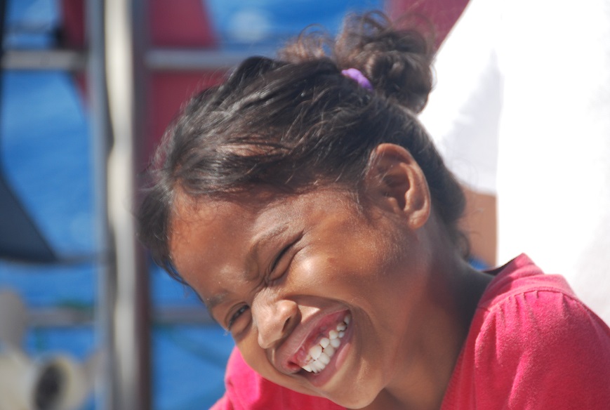


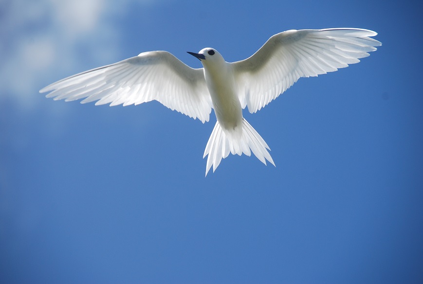


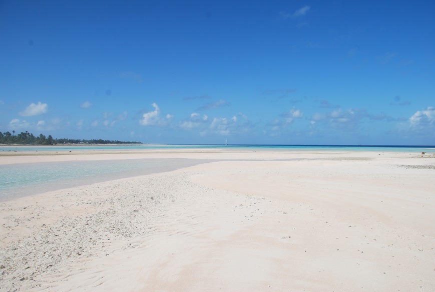
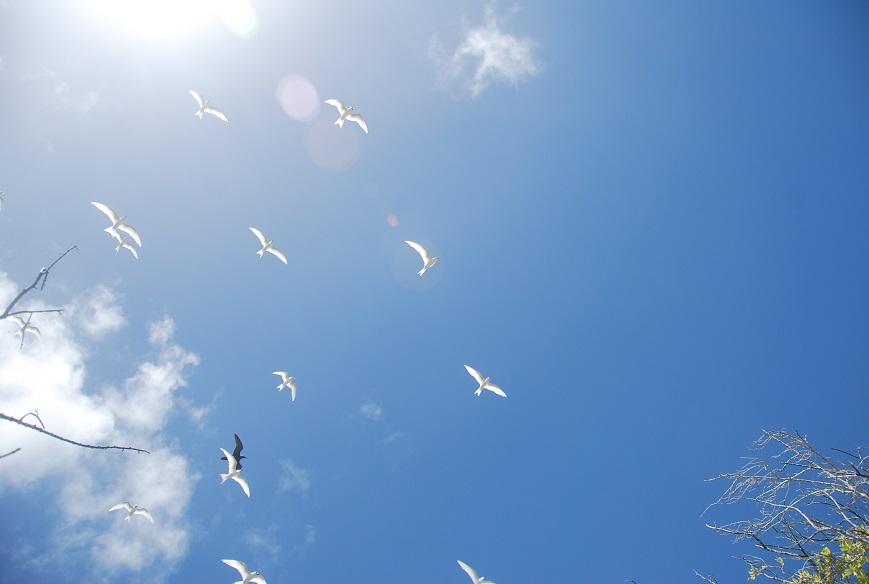
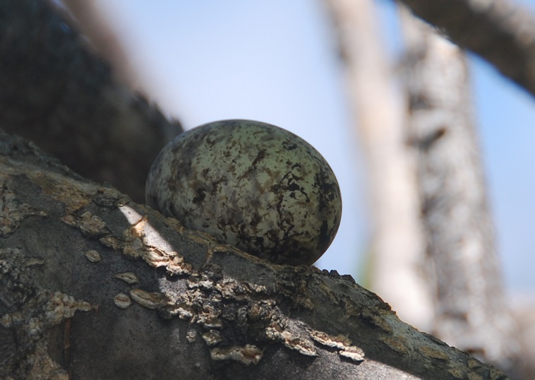

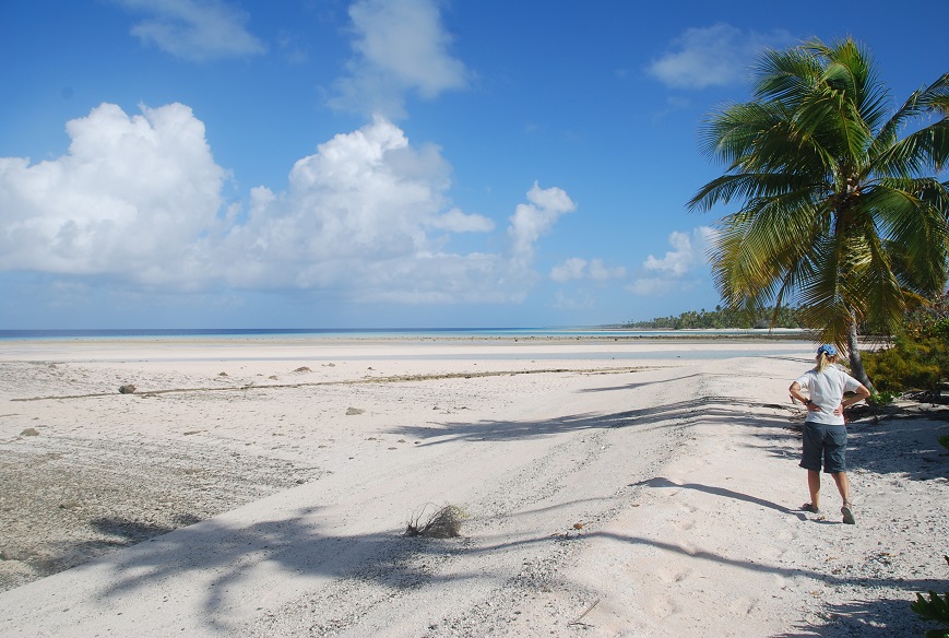
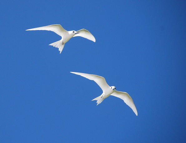
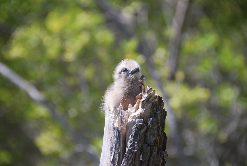

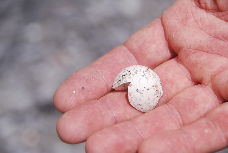
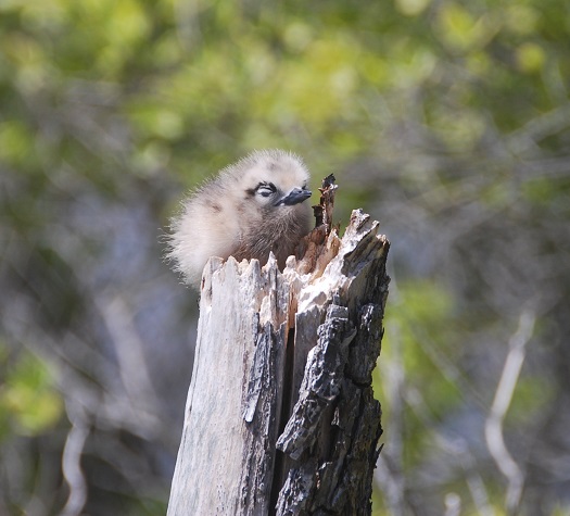


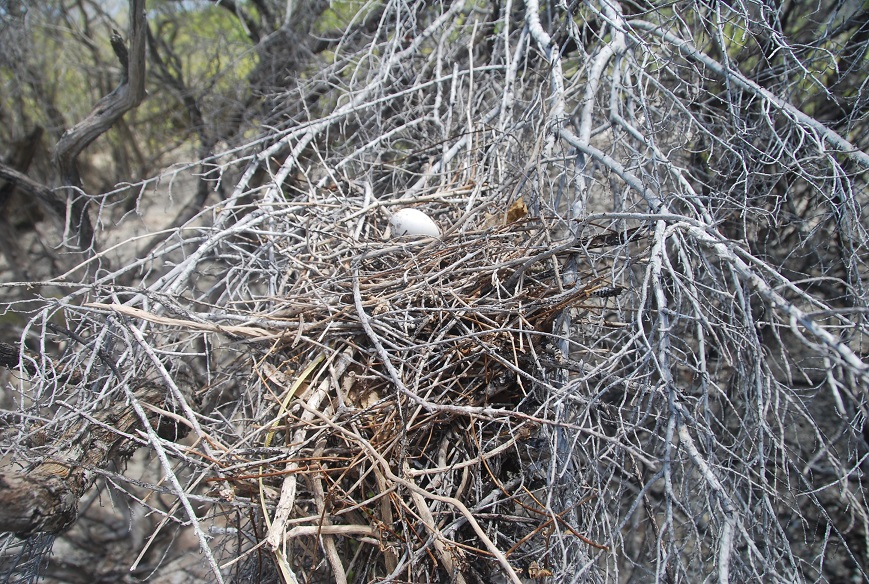


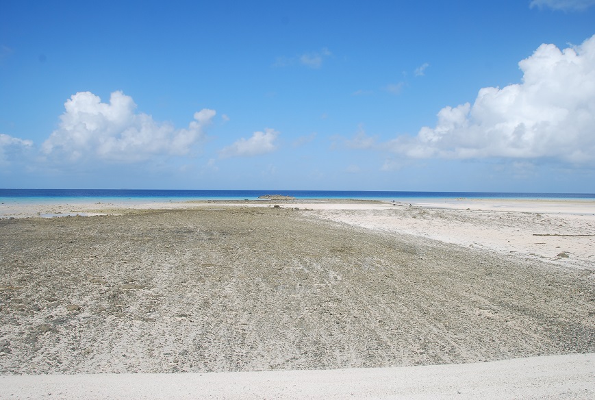
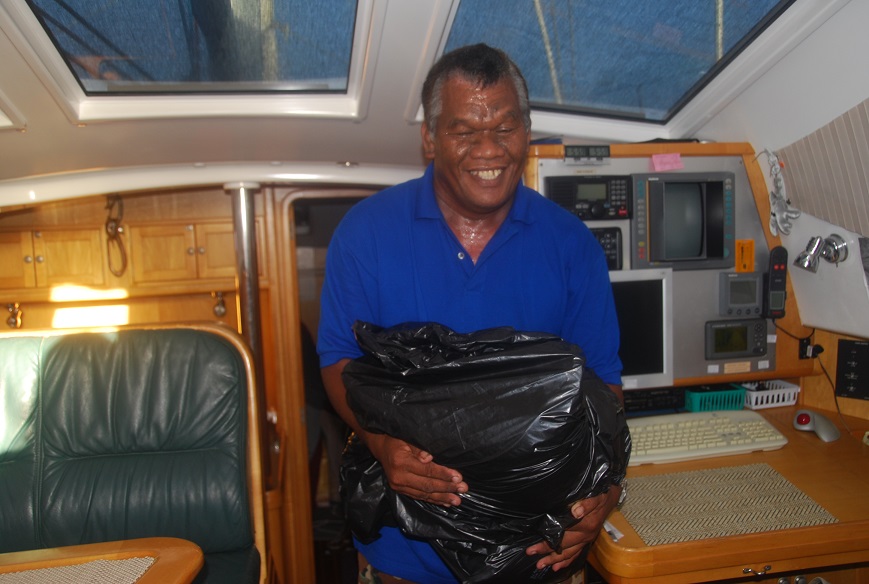


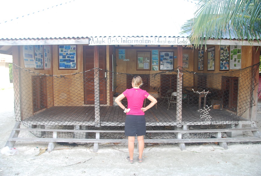
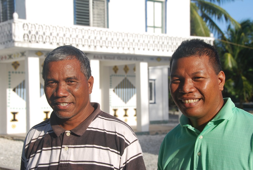


MAJURO

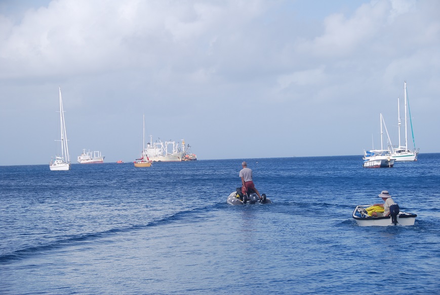
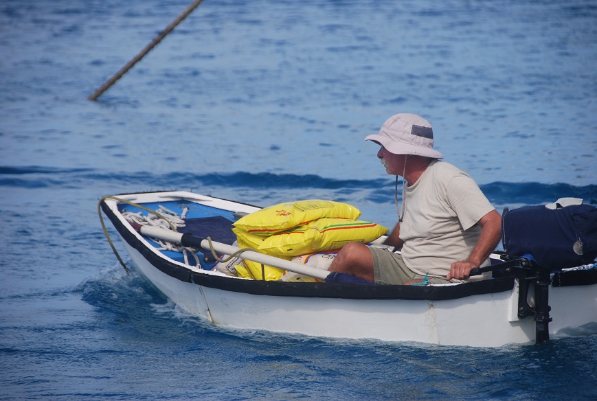


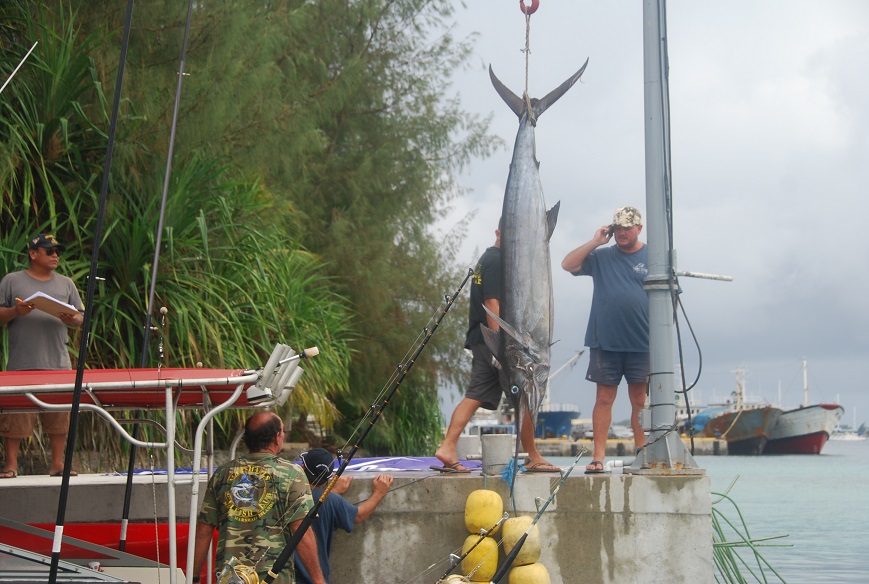
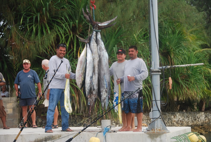


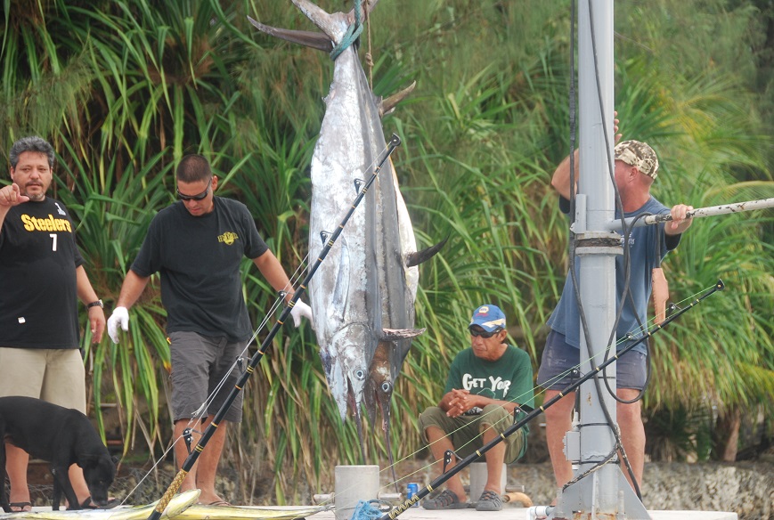
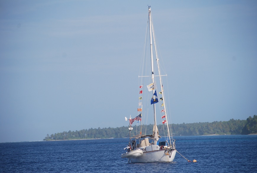
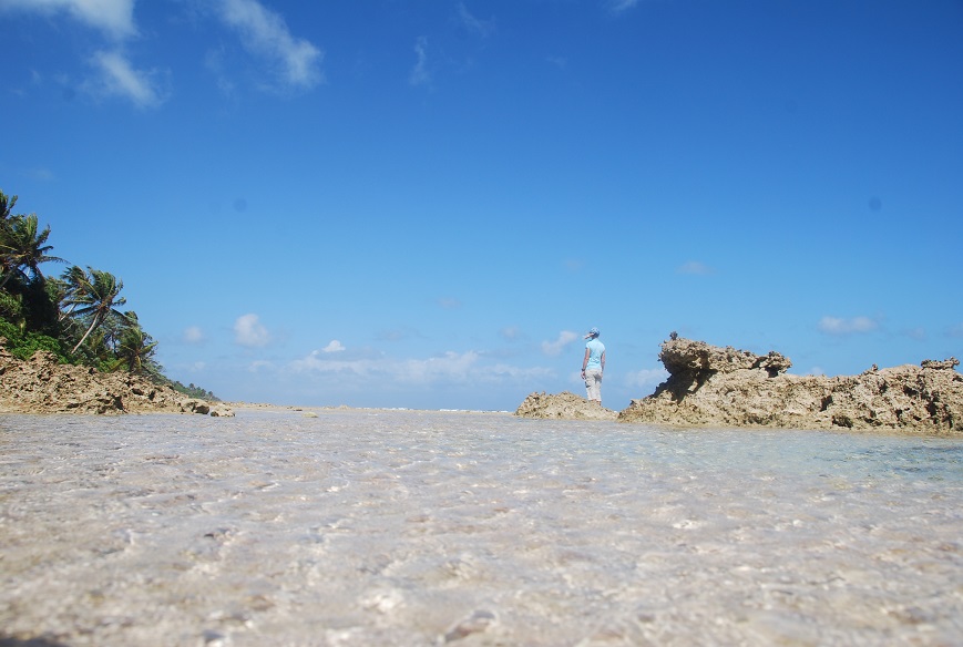

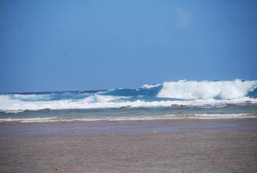
AUR ATOLL
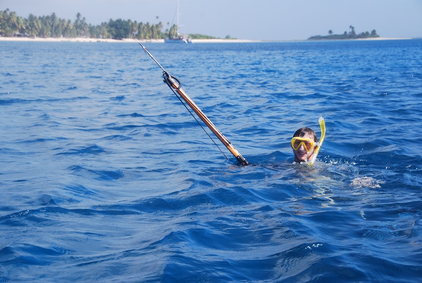

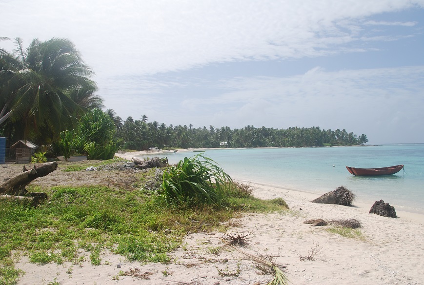
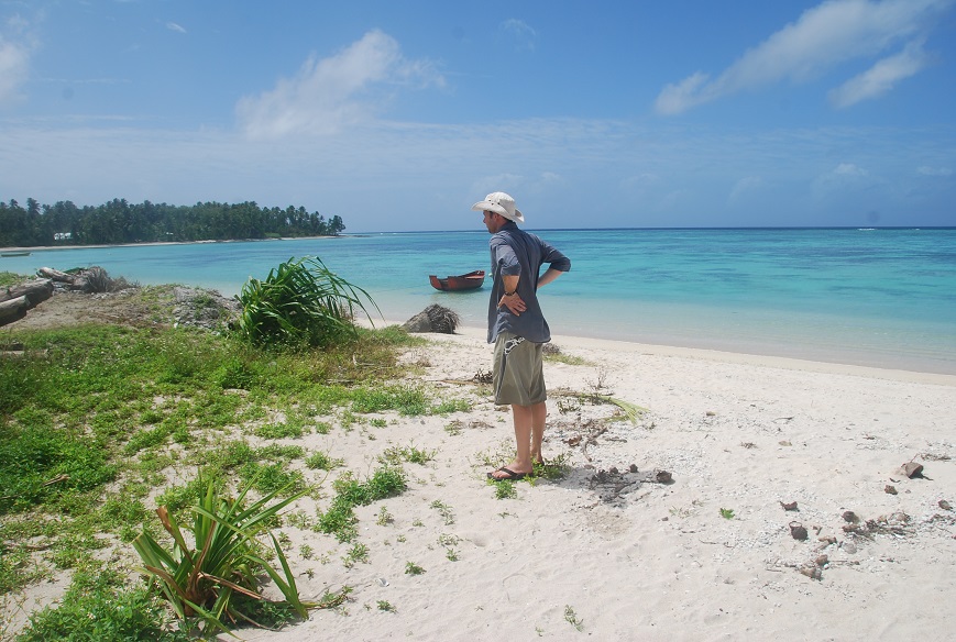
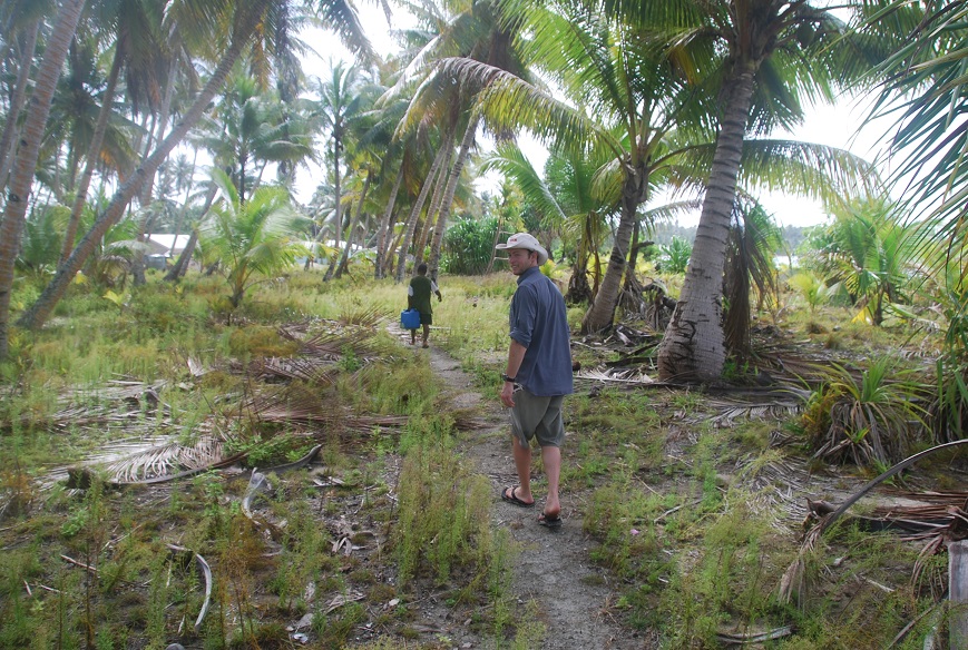
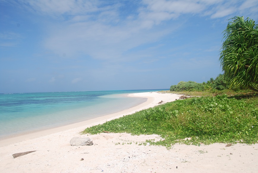

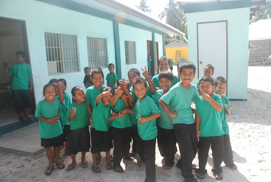

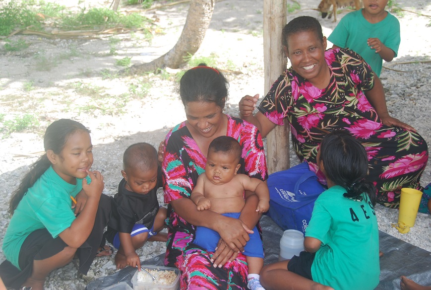
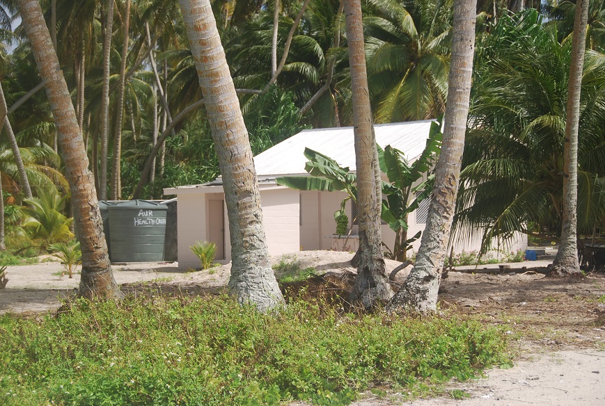
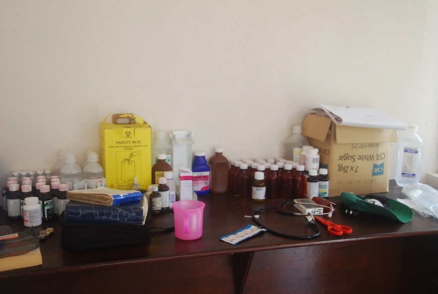
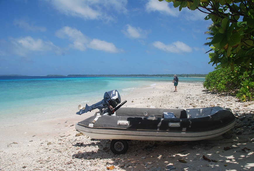
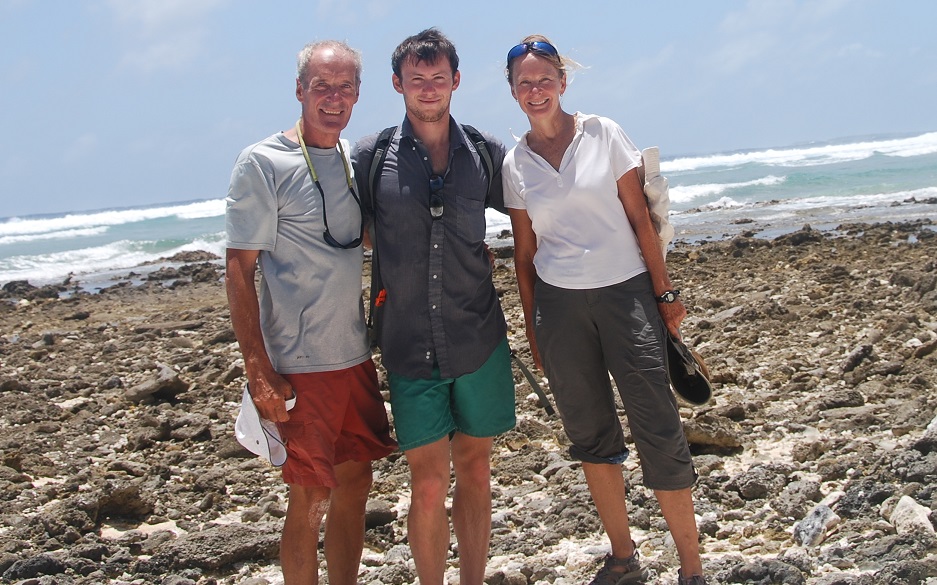

Link to: Photos of Ailuk, Majuro & Aur Atolls
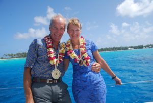
12/31/2011
TARAWA TO MAJURO PASSAGE ( 01-47.27N / 172-46.28E)
We can celebrate New Year’s Eve across the globe starting with us in Kiribati – where it happens first – we’re 20 hours ahead of the mainland USA, then DC is about 4 hours ahead of that, with Scotland 5 more hours ahead of that – LOTS of toasts!!!
Happy New Year 2012! John and I clicked a toast into the New Year while at sea – appropriate I think. Resolutions??? We’re on route between Tarawa and Majuro, about a 3-day passage. Right now the seas are very calm and unfortunately the winds as well. Progress is really slow. Can’t complain though after some of the fast rides we’ve had on the other trips.
John wrote: Happy New Year from Latitude 3′ 10″ N and Longitude 172′ 38″E. Kristy and I popped a champagne bottle and shared the contents with Neptune under a spectacularly clear starry sky with the Plough showing low in the north to welcome us back from the Southern Hemisphere. The Pole Star made a brief appearance through the mist on the horizon. Even sang Auld Lang Syne which sounded pretty good though we missed Nana who, of course, knows all the verses and is an instant hit at these sorts of events. We had our brief function at the midnight change of watch and relished the fact that since the Republic of Kiribati is +12GMT and the only place I know of that does this, we were among the first people on the planet Earth to raise our glass and toast 2012. Ten minutes later the watch schedule resumed and Raynad continued swishing through inky black, eerily calm seas on a passage to the Marshall Islands and a little bit of America.
 01/01/2012 – Just passing Butaritari – Happy New Year!
We’re so far having a very pleasant trip. Had thoughts of stopping into the north end of Butaritari for a break and to revisit the island family, however, it isn’t legal for us to do that and since the police boat left Betio ahead of us and because we are sailing well with good winds and seas, we’re continuing on. The entire trip is about 3 days/nights depending on our boat speed and what sort of currents we encounter closer to Majuro. We expect that the winds and seas will both increase, but the forecast at least is still good.
01/01/2012
Last night we paid for the easy sailing that we’d enjoyed earlier with non-stop squalls hitting us with winds that varied from 3-35knots/ Ne-E-Se. I wasn’t much help with those extremes and found it very frustrating in that John had to jump out and help so often, he finally just told me to go to sleep. Gimpy old lady I am. We’ll both be very glad to arrive in Majuro and are really hoping to do so tomorrow, but the winds are not cooperating in that between squalls we slow to only 3.5-4.5 speeds.
We’re now just passing by the island of Mili (6:05.831N / 171:38.640 E) clipping away at 6.9kts, on our way to Majuro. We’re hoping to arrive mid-morning, in fact the customs and immigration people won’t let us even enter the lagoon until 9am!! I guess if we’re early then we’ll just have heave-to and hang out!?!?
All is well, we’re keen to reach our destination and get a full night of rest:)
01/02/2012 ( 05-38.47N / 171-49.48E) COURSE: 346T, SPEED: 7.7
We fairly blasted our way along after my last update. With a reef in the main and only the small staysail, hard on the wind, we reached speeds up to 8kts/ave 7.4 so….now we’re trying to slow our progress as we sail with only the staysail (still going at 5kts) along the top of Majuro, rocking and rolling all the way, waiting for daylight to safely navigate through the pass and along inside the lagoon. Having another squall filled night has exhausted us both so we’re really looking forward to a shower and nap! We should be moored to a buoy by about 10am.
MAJURO- MARSHALL ISLANDS!!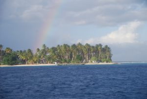
Swinging on a buoy with lots of other cruising boats around:)
Unfortunately, the internet here is not very accessible and is also expensive ($0.10 per minute) so I will not be using it as freely as we enjoyed in Tarawa. Bummer really, I’d hoped to be able to have internet on the boat and enjoy talking with everyone on Skype. I have to take my computer to town and use public places like a restaurant or hotel lobby. We have a cellphone and I will get an international phone card which will also give us talking opportunities, but not as much as I’d like.
Majuro is a much calmer anchorage than others and we are tied to a mooring buoy which is rather carefree compared to anchoring. The winds can be strong, but because the water is so deep there are no waves like we had in Betio – those were incredible and a bit scary at times! Here it is just wind and since the temperatures are pretty hot, actually a welcome breeze blowing through the boat. We finally put up our ShadeTree yesterday and that’s brought the temp down in the boat alot, although the winds make it rattle alot. John has been working on boat repairs. He replaced the muffler on the engine and some parts on the refrigeration system. We have a refrigeration guy coming tonight to work on it with him. Hopefully we’ll have that up and working soon.
01/08/2012
We had a super blustery night which is continuing today with strong, gusty winds and torrential rains. Unfortunately, the ShadeTree is still up so lots of racket. As soon as the next calm happens, we’ll take it down. For now at least it keeps some of the rain out of the boat.
01/09/2012 John’s Birthday!
I made some double chocolate brownies which we ate mid-afternoon with some real ice cream!! yum! Since they were still warm it seemed silly to wait until after dinner when we’d be too full to enjoy the birthday cake:) We had pasta and a nice wine for dinner and will now watch one of our movies. All in all, not too bad.
01/10/2012
We had a fun dinner out with the other cruisers last night. We did pretty poorly on the “pop-quiz” (12/20) – but then the winner has to write the next quiz, so who really wants to win? Nonetheless, John was disappointed that we didn’t put on a “better show” – he IS competitive despite all he says!?!? It’s another sunny day here, at last the rain squalls seem to be done for awhile, so we’re going to head over to some mooring buoys at an island across the lagoon. Supposed to be some nice snorkeling, etc and it’d be really good to get away from the city.
 Anemuwanet – January 11, 2012 ( 07-07.73N / 171-18.52E )
It was a lovely day yesterday. We went ashore and walked around the entire island at low tide and then came back and snorkled over an old plane wreck. The other side is open ocean dramatically breaking on the reefs. Our side of the island is a calm bay, one of the best anchorages we’ve had in a long time. All of the Gilbert Island anchorages were quite rolly and bumpy and even in Majuro there is alot of wind across the mooring field. It’s also just nice and quiet here with clear water and some coral to snorkel around. It’s been pleasant and relaxing.
We’re sitting here this morning bobbing on a mooring buoy near a lovely island across the atoll from Majuro.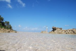 It’s a favorite spot for cruisers to use to escape the dust and internet craze of the city and also for some snorkeling. Our plans are to leave in a couple of days and cruise to a few of the outer islands before returning to re-provision and pick up Doug, a friend of our daughters who will be helping us take the boat north on the long 4500nm passage to Seattle. We’ll leave here sometime around March 15 hoping to arrive into the PacNW by late April. I’ve only done one dive trip, this done while John was in Portland, Oregon and unfortunately the weather was rough so visibility wasn’t as superb for the pass dive as we’d hoped. I did manage to buy a used BCD from one of the other cruisers, so we have a complete set now, minus the depth gage, so it’s still only for emergency use or when diving with others. Your diving and exploring around the WWII buildings and wrecks sounds great! We walk alot to places in Majuro, but with max elevation of 3 meters, there’s not much hiking! Many of the buildings here are crumbling due to poor construction, especially those with concrete made from beach sand that wasn’t rinsed of the salt. Sad really.
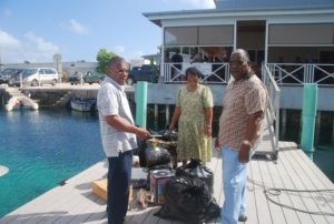

02/14/2012 Valentine’s Day!
John wrote:
Happy Hour now as the sun has set. Tomorrow we sail for the tiny island of Ailuk that has run out of food. It is 200 miles north of here.  We spent the day taking delivery of food from locals here in the capital and the boat is
  now STUFFED and listing with rice, flour, sugar. I bought a soccer ball, tennis balls, perfume, hair clasps and hair dye (black – women here hate grey hair) so that our arrival will be more Santa Like than Famine Relief type. Apparently the island is mostly young children because the teens go to boarding school in Woetche and many of the adults left to find work. They closed school early because the high tides at this time of year (King Tides) flood the causeways and so the school bus has rusted out and the water comes through the floorboards. So school stops one hour before high tide whenever that is
MAJURO to AILUK PASSAGE:
12/15/2012
12/16/2012 ( 08-15.88N / 170-47.22E) COURSE: 347T, SPEED: 6.9
Rough and squallly weather
Just a quick note typed on a slope to say that we’re doing well – a very brisk sail with lots of squally winds and rough seas. Not the most fun trip, we’ve had 25-35 knot winds all day with one squall after another. At least our speed is ok, but with the sea state that too isn’t as fast as we’d like it to be. Nonetheless we are moving along and doing fine. We’re both anxious to arrive, drop the anchor and sleep! I know that the villagers are hoping we arrive before dark today so they can offload their supplies.
ARRIVED AILUK!!
12/17/2012 6:56pm –  The good trader ship Raynad is safely anchored in the lovely lagoon by Ailuk island.
  All the food stuffs have been safely unloaded – none wet because we bagged it all in plastic before bringing it on the boat. We were met by the radio ham, “Pumpkin” and his wife who gave us the traditional welcome leis and shell ornaments, plus drinking coconuts:) Took some photos of the food piled on the dock and some local kids, the mayor and me to give the Majuro newspaper and also the Seven Seas Cruising newsletter.
 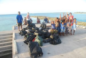 Now we’re back on board for happy hour at sunset….the winds and seas were rough getting here, but the result was a very fast passage- so we could deliver all of the food and still return to the boat for GTs !! Life is good:)
RAYNAD MAKES THE ISLAND NEWSPAPER!!
02/18/2012 AILUK ATOLL – Marshall Islands
We arrived into Ailuk yesterday afternoon loaded up with about 1500+kg of foodstuffs for the islanders. Turns out that the last two trader/supply boats never made it, and they haven’t received supplies since last September! So, prior to leaving Majuro, several family members of Ailuk residents brought down parcels of food, all nicely bundled and marked for us to load into Raynad and deliver up here. 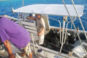 Must have been at least 30-20kg bags of rice, 10-15 10 kg bags of sugar, 10-15 20kg sacks of flour…..the boat was definitely hiding it’s waterline by the time we finished loading it all onto the starboard side so it would add ballast to our sail. Turned out that we had some very brisk winds (25-35kn gusting to 40) so even with the 3-4m seas, we averaged close to 7kn (two reefs in the main and only the staysail) and made the trip with only one overnight which made me very happy! We were greeted by our SSB radio ham friend, “Pumpkin” and his wife who bestowed upon us a traditional welcome of two fragrant flower leis and two handmade lovely shell necklaces with woven pendants. We’ll stay here and explore this beautiful lagoon for about a week and then probably head south to Woetje for a few days before continuing the trip, maybe via Moelelap, to Majuro. We’ll need to be back in Majuro by no later than March 5th to get ready for the next big voyage and Doug (our crew friend’s ) arrival on March 11th.
Ailuk is called the “island of the sails” and already this morning we’ve had five outrigger canoes sail past our boat – always calling out to us with glee as they are still distributing the foods we brought up to residents on some of the smaller islands around the lagoon. 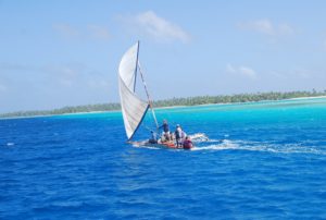 It really is lovely here, lots of small islands strung out along the reef with picturesque stands of palm trees, white sand beaches and turquoise waters. After a great night of rest, we’re now ready for some walk-abouts and snorkeling.
As written to s/v SEAL
As you know, we arrived into Ailuk on Friday evening loaded up with about 1500+kg of foodstuffs for the islanders. Turns out that the last two trader/supply boats never made it, and they haven’t received supplies since last September! So, prior to leaving Majuro, several family members of Ailuk residents brought down parcels of food, all nicely bundled and marked for us to load into Raynad and deliver up here. Must have been at least 30-20kg bags of rice, 10-15 10 kg bags of sugar, 10-15 20kg sacks of flour…. eventually we had to stop accepting more bags of rice…the boat was definitely hiding it’s waterline by the time we finished loading it all onto the starboard side so it would add ballast to our sail. Turned out that we had some very brisk winds (25-35kn gusting to 40) so even with the 3-4m seas, we averaged close to 7kn (two reefs in the main and only the staysail) and made the trip with only one overnight which made me very happy! 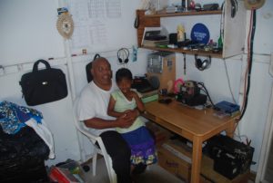 We were greeted by our SSB radio ham friend, “Pumpkin” and his wife who bestowed upon us a traditional welcome of two fragrant flower leis and two handmade lovely shell necklaces with woven pendants, plus the sweetest drinking coconuts I’ve had yet.
 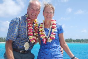 We’ll stay here and explore this beautiful lagoon for about a week and then probably head south to Woetje for a few days before continuing the trip, maybe via Moelelap, to Majuro.
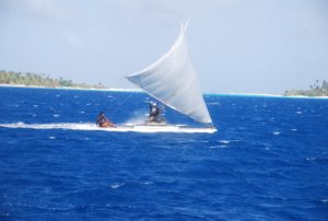 Ailuk is truly the “island of the sails” and yesterday morning we’d had five outrigger canoes sail past our boat before we finished drinking our coffee- always calling out to us with glee as they are still distributing the foods we brought up out to residents on some of the smaller islands around the lagoon. It really is lovely here, lots of small islands strung out along the reef with picturesque stands of palm trees, white sand beaches and turquoise waters. After a great night of rest, we’re now ready for some walk-abouts and snorkeling.
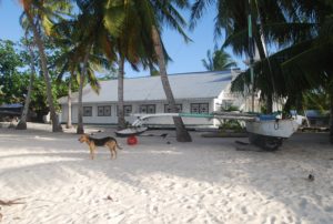 We had a fun trip onto the island yesterday as we delivered a bag of school supplies and our last soccer ball.
 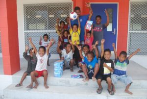 Even though school had been canceled due to the “famine” lots of kids were hanging around the school playing with an old basketball, so we were able to get a nice photo of the kids and the headmaster on the steps of their new school.
 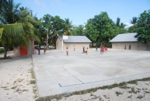 As soon as the photo was over, the kids rushed out to the concrete pad and split up into teams for a lively soccer game! That was really great to see, this will be one very well used ball:)
Afterwards we walked a bit through the village and once again came upon a really great dog which John has fallen in love with – a cross between the usual yellow mutt with a bit of German shepherd?? He followed us all the way back to our dingy and then tried to swim out to the boat! 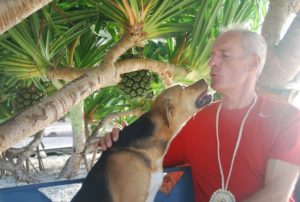 Fortunately, he turned around just as your John was leaving to go rescue him. Everyone here has been really nice and given us lots of coconuts to drink/eat and even an entire breadfruit which is a precious commodity here. We enjoyed our usual happy hour at sunset while watching all of the canoes returning from their day. Instead of noisy outboards zooming close to the boat, we were thrilled by sailing outriggers swooshing by! They really are quite spectacular and they love to have us come out on the deck and cheer them by.
We’re off to church this morning. Our host, “Pumpkin”, is the preacher for the Church of Christ.
02/20/2012
We took our friends Aeneas(“Pumpkin,”) Emily and their three children out in the boat yesterday for the day.  We’d really hoped to catch some fish, but unfortunately despite two lines in the water, changing lures, and trolling along for about 6-7 hours, no fish?!?! They weren’t all that surprised, but very disappointed, it seems that all of the island fishermen are also having a hard time catching any fish which only adds to the desperation of their current food situation. Since the trader boats aren’t coming here as expected, they are dependent on a subsistence diet primarily of fish, coconut, breadfruit (when in season which it’s not now), and pumpkin/squash (if they can manage to get it to grow which is difficult with the semi-salty well water and lack of rain.) It was small recompense for our poor luck fishing, that I gave them some of my frozen tuna that I’d bought in Majuro and a some packets of noodles.
  We had a fun day out nonetheless – the kids LOVED the boat. The two boys were all over the deck and really came to life when I gave them our walkie-talkie radios to mess around with. We ended up at the other end of the long lagoon at the village where Emily’s sister is the head teacher. Those radios were a total hit there with the kids all dividing up and racing around trying to talk with each other over the distances.
  We were greeted with lovely flower leis for our heads and more coconuts to drink. I put out snacks throughout the trip, so they enjoyed the new tastes of lemonade, oranges, carrots, cheese, crackers, cookies and popcorn:) It’s sweet that people want to give us something, but have so little that we’ve been over-run by drinking coconuts! I keep filling our drink containers, but can’t keep up with the overwhelming supply. John has become “Mr Fixit” with men asking him to fix their generators, solar panels, SSB radios, batteries, DVD players…….and each task completed is rewarded with a bag of coconuts! We’re going to take a day for ourselves now and doing some beachcombing along some of the many small islets. It’s incredibly scenic here, in that picturesque island, long white sands, coconut trees, turquoise waters way. We’ll snorkel too, but there aren’t many fish to see, just some lovely corals.
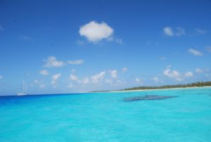 John wrote:
Raynad is swinging at anchor in the northernmost atoll in the Marshall Islands. 300 people live here, 50% under 12 . Each woman has seven kids on average. They go to another atoll for regional High School and so the Mums have the luxury of having their kids removed from the nest at age 13 so that they can focus on producing more of those likeable pre-pubertal kids. It like having puppies forever – no teenagers. What a good idea. What happens to the teenagers I do not know because they do not come back home. Home like this must be intolerable if you are an educated 17 year old, or worse a pregnant 17 year old. Of course the atoll is beautiful beyond belief but boring boring boring for a teenager. No internet, No movies, no drinking alcohol and no novelty value in the opposite sex. So – there is a huge Pacific Migration Council in the UN with gleaming white Land Cruisers with smoked glass windows ferrying diplomats from NZ, Aust, Hawaii and other destinations for those unemployed educated youth. Those behind smoked glass are assumed to K_N_O_W what to do about this and are dealing with the problems but not everyone is impressed that this is so.  I talked with the preachers wife. A lovely toothless Emma. She lost her teeth to her multiple pregnancies but her thick dark hair still falls across her shoulders in shocking waves and she carries herself like the queen, nodding her head in an understated deliberation as she acknowledges what you say.
 02/22/2012
We said our farewells to “Pumpkin” (real name Anious) and his family today after collecting some items to take over to their kids in Woetje and some of the women’s handicrafts to transport into Majuro. Anious’ wife, Hemly gave us two more beautiful flower leis which she had made, and sang us a lovely farewell, goodwill sailing song. They really are very gracious and kind people, we will miss them. Their children Junior, Lazrus and Mila are lovely and we really enjoyed sharing some of the fun things on our boat – the real hit was our walkie-talkies. As we strolled down the beach to our dingy, all of the island children greeted us, seems we are now familiar to them all:) Ailuk really is the quintessential tropical island paradise – terrifically scenic with the many islets, coconut palms, striking white sands and turquoise waters. We will enjoy a few of the isolated islets for a couple of more days, feast on the lobster they just gave us, and then make an early start on Friday/Saturday with hopes of making a day passage to Woetje coming in the western pass and anchoring near Goat Island.
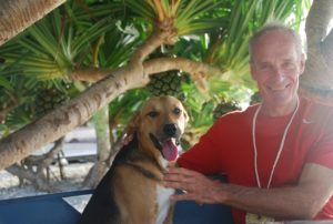 We found the cutest dog on the island and he totally fell in love with John (a mutual feeling:) He got so excited every time we came ashore and kept trying to swim out with the dingy – even tried to crawl into it. He was really, really sweet – thin but a great temperament and very attractive. Tough to leave behind, but we have no way to bring him along(:
02/23/12
John and I are still anchored out at some of the islets of Ailuk. The atoll consists of a string of small islands and sand banks all along the north side. It’s windy and sometimes rolly on the boat, but we have enjoyed a couple of beautiful beach walks at low tides. It’s been great to be so isolated with such long beaches to explore. No one else is around since most of the islanders live either on the northeast or northwest ends on two of the larger islands. It’s amazing the amount of junk that gets washed up on the shores, especially on the ocean side of the islands…lots and lots of plastic bottles, flip-flops, glass bottles and then boat stuff like big plastic floats and other fishing bits. We now have about 8 large plastic balls tied to our stanchions that we’ll take back to Majuro for a friend to use as mooring buoys. We’ve done some lovely snorkeling too, although just small areas where the reef comes up suddenly out of 100 feet of water – little isolated oasis for the fish:)
Life is good in paradise. We’ll likely move on tonight or tomorrow to go to Woetje another atoll south of here and about 12-16 hours of sailing.
02/24/2012
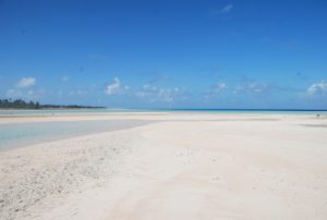
We decided to stay in the lovely atoll of Ailuk for one more day. It was a really gorgeous day yesterday – nearly totally clear blue skies, 10-15kt winds and after exploring the route that we’ll need to take out the pass early in the morning (we set our track on the navigation program so we’d be able to go before the visibility is tops which allows us more time to make it to our new destination where we’ll really need the better light,) we anchored near some new islets that are really enchantingly beautiful. 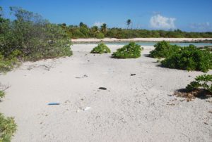 Since most of the people in Ailuk live either on the northern most or southern most islands, all of the other islands are pretty deserted and so we have a wonderful feeling of being alone in a sort of island wilderness.
 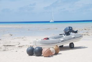 We take long walks around the islands at low tide when the sandy beaches stretch out for miles and the surf pounds on the outside reef- it’s amazing how much plastic washes up on the beaches – sad to think of the world being overtaken by plastic drink bottles! It’s just fun to explore, watch the birds and enjoy the lovely scenery.
  Besides, as you know, there isn’t much exercise to be had on the boat so the walking feels great! It’s interesting here in that the waters of the lagoon are really quite deep, mostly 30-45 meters and yet it’s dotted with coral heads that rise up from these depths and break the surface at low tide! Quite a navigational hazard, but mostly visible in good light. It’s amazing though to think of the forces of nature involved in building such a tower of coral. We’ve snorkeled on a few of them and the coral are very pretty and there are lots of small fish, but not really very many large fish. So, we’ll leave at first light tomorrow morning and make our way to the atoll called Woetje. All of the Ailuk children in grades 8-12 go to school in Woetje and their parent’s have sent some parcels with us to deliver to their children.
We’ve enjoyed two extra days here over what we’d planned to spend because it’s just too beautiful to leave.
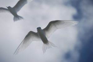 Yesterday, we went ashore at low tide to seek out the tern nests and we found some! It was very exciting and fun to explore in among the bushes and find the eggs and even new chicks.
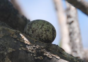 Funny how they really don’t nest, but just lay their eggs in the crook of a tree and in one case we found the newly hatched chick just sitting in the top of a broken tree stump – just at eye level.
  We have some good pictures of the eggs, the chicks and even a larger chick that I found nestled in the crook of a tree:)
He was so sweet and just sat there with his big eyes watching us. He stretched out his wings once – I suppose as a threatening move or maybe he had the thought of trying to flee?? 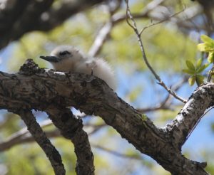 Lovely soft downy feathers – so tempting to want to touch – but we only observed and took photos. Meanwhile the parents were circling and diving angrily above us. John got a couple of great pictures of the white terns against a striking blue sky.
After our shore excursion and some rest, we went snorkeling over a nearby coral reef and saw literally thousands of fish! It’s quite a spectacular little spot that rises up from the deep and supports an incredible array of fish and corals. We’ve definitely enjoyed our time here in this tranquil and scenic lagoon.
02/26/2012 Ailuk to Woetje
We’re off today from Ailuk to Woetje, about a 10-12 hour sail, so it’s early, (5:30am) as we wait for first light to set out. Onward!
Anchored at Goat Island, Wotje Atoll, MI
09-31.28N / 169-42.41E
02/27/12 WOETJE – We left at 7am this morning and made a fast crossing, averaging 7.0kts most of the trip, so now we’re anchored off Goat Island on the north end. We’ll stay here tonight, rest, explore and snorkel in the morning and then make our way 20 miles across the atoll to the main village where we’ll give some packages to the boarding students that are here from Ailuk. Rolling about now in our current anchorage, a lovely spot near some outlying islets, but as the tide has come in over the reef, we’re getting a fare amount of swell from the ocean
For all that we were unbearably hot in the Solomons, we miss the lovely calm anchorages, the availability of fresh produce, even the contact with some of the people. But, we do really appreciate the total safety of the Marshall Island atolls – we sleep with the companionway wide open again and really appreciate the breezes for sleeping, but the anchorages are rolly polly and the same constantly strong winds that make our sailing fast and furious, also get a bit tiring when going ashore or snorkeling. Everywhere has it’s advantages/disadvantages. I’m really looking forward to being back in the USA and Sitka with all the things I’ve been missing, but I know that I’ll long for these sandy beaches and warmth! I’ve been living non-stop on this boat now for over 14 months!?!? This is the longest time I’ve gone without taking a jet somewhere since I was 23 years old.
02/28/2012
We made it into Wotje last night and overnighted on the northwestern end of the atoll at Goat Island which was very rolly-polly, but at least we weren’t at sea. Got up and circumnavigated the island on foot, which turned out to be much bigger than expected, but fun and very interesting. Then we bucked our way back to the boat and made our way across the atoll against the wind and surge (about 21 miles) to the main town where we finally dropped anchor at 5pm. It’s much calmer here, we’ve had happy hour and dinner and will now shower and go to bed with plans to meet the mayor, visit the school, etc tomorrow and deliver the parcels we have from their parents for the Ailuk kids who are going to boarding school here.
02/29/12
We had three volunteer teachers from the high school over on the boat tonight – they came for happy hour and stayed until 11:30pm! I think they really enjoyed talking with some old folks about their parent’s ages. The two boys just graduated from Dartmouth and the girl from Univ of Washington. They are having quite an experience on Wotje and we learned some new things about the people and culture.
We set out at 10:30 this morning and are on route to Majuro – close hauled, fast pace 7+kts with expected travel time of about 24 hours.
03/01/2012 ( 09-17.52N / 170-09.63E) COURSE: 145T, SPEED: 6.9
Heeled over on close reach to Majuro
(08-01.37N/ 170-50.45E) COURSE: 150T, SPEED: 7.0 We’re nearly there, about 28 miles to go, but sometimes emails won’t send out after about 9am, so I just wanted to let you know that all is well so far. It’s been a pretty boisterous night so we sailed with two reefs in the main and only the staysail. We’ll both be glad to grab the mooring buoy, have some coffee, and relax:)
 03/02/2012 BACK IN MAJURO!
We have arrived- sailing all the way because the engine wouldn’t start outside the pass!?!?
We had a real surprise yesterday just before entering the pass into Majuro – the engine would NOT start! We tacked away and sailed off back into open waters so we could recharge the start batteries and John could clean the battery leads, but it still would not start. So, we had to sail through the pass which fortunately was one we’d done 3 times already and gave us a decent angle on the wind. We then sailed up to the mooring and were very relieved to at least be secure. Turns out that the problem was that seawater had flooded in through the exhaust outlet and the entire exhaust system and manifold, etc were full or water! Great mechanic that John is,he was on the job and after lots of pumping and flushing got all of the water out and the engine is running fine now. He’ll continue servicing that and we’ll put a new flapper door on the exhaust pipe to keep that from happening again. Just really glad that it happened now and for this atoll pass during slack tide because some of the others are very tricky and full of tidal currents and bends. So, we’ve honed our sailing skills a bit more:)

What caused the flooding?? We’d tied a huge pile of buoys to the starboard stern, but neglected to secure the hatch underneath. Heeled over the entire trip, the water just flooded right in there and filled up the locker such that the exhaust outlet was flooded. We are sooo lucky that nothing worse happened. All is well now – the boat is flushed and dry and runs beautifully.

03/12/2012 NEW CREW: Doug Agnew has joined us for the trip to the Pacific NW!
03/14/2012 On route to Aur
We are on our way to Aur Atoll, a trip of about 78nm. Since our course is almost directly north, we have the wind on our nose and fairly strong seas, so with 25kt of wind, we’re only averaging 4-5kts of speed. That’s fine though since we don’t want to arrive at the pass into Aur earlier than about 8:00am. 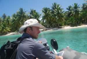 We left our anchorage at 5:00pm, so we have lots of time. All is well on board, a bit hot and stuffy, but Doug is trying to sleep so he can take the next watch. It’s a real luxury to have three people on board and be able to share the night watches.
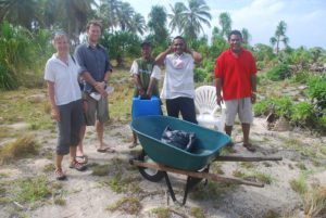
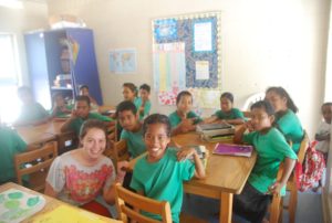
3/15/2012 -08-18.45N / 171-09.1 W
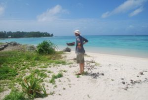 Tabal – Aur Atoll anchorage
We just dropped anchor in Aur having arrived in a 30kt wind and rain squall.
We had a wonderful and restful night up at Aur last night and then sailed up to Tabal on the north end this afternoon.  Doug went spear fishing on the reef while John and I went into town to deliver some food we’d brought for the health tech at the clinic. No luck hunting and gathering, so dinner was some old tuna cooked up as curry using some of the fresh coconuts that the islanders keep giving us. The rice cooked in coconut milk is really good. We scraped the soft inner coconut stuff out and used that in the curry. Not bad eating so far.

We may take off tomorrow to start our sail up to Midway.
3/16/2012 On route to Midway!! We left Aur at about 2:00pm this afternoon and are briskly on our way to Midway. We had a wee toast of bourbon – compliments of Doug – which we shared with Neptune:) So far conditions are perfect and our current speeds are 7.5-8.5kts! It’s 6:30pm and our position is :08:39.405N and 170:53.079E on a course of 336. Once we get above Moelelap, we’ll turn as much east as possible. Doug’s in the kitchen cooking up pasta for dinner, John just finished a shower, and a beautiful sunset radiates colors on the horizon.
Life is good!
Kristy, John and Doug
s/v Raynad