RAIVAVAE- Austral Island Paradise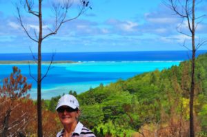
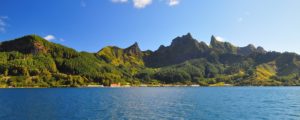
Raivavae is a beautiful island with turquoise lagoon waters rimmed by a barrier coral reef with 28 white sand motu, all surrounding the main island with its towering volcanic peaks,the highest being Mt. Hiro at 437 meters.
For sheer natural beauty, this is the premier Polynesian island. We found this lush island one of the most peaceful and pleasant places we have ever visited. The 22 kilometer road around the island can easily be biked, or even walked. Banana, coconut, mango thrive here and the islanders take special pride in their colorful gardens.
Raivavae has four stores, each stocked with a variety of basic provisions. There is an airport with 3 weekly flights, Gendarmes, police and free wifi at the visitor’s center, or Vini Spot at the post office. We did not find any access to remote wifi.
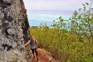
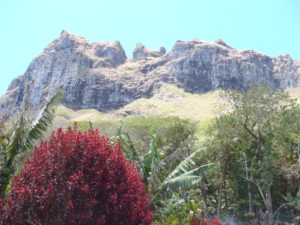
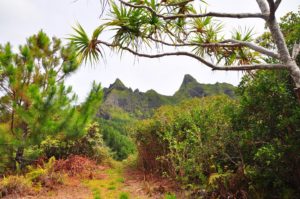
Hiking Mt. Hiro is a must for anyone capable of a rather arduous, steep climb. The views are well worth the effort! I highly advise wearing hiking sandals or boots – this is definitely not a hike for flip-flops! Allow at least 3 hours or more and carry water.
At one time Raivavae was a thriving island with a large population with a vibrant culture that created large tiki – stone carved anthropomorphic figures. Unfortunately, most of the reported 92 marae and tiki that survived into the 20th century and were even studied by different teams of archaeologists between 1921-1991, were later destroyed by Chritian converts. One big tiki still remains by the road west of Mahanatoa village. Two others are on display at the Gauguin Museum in Tahiti.
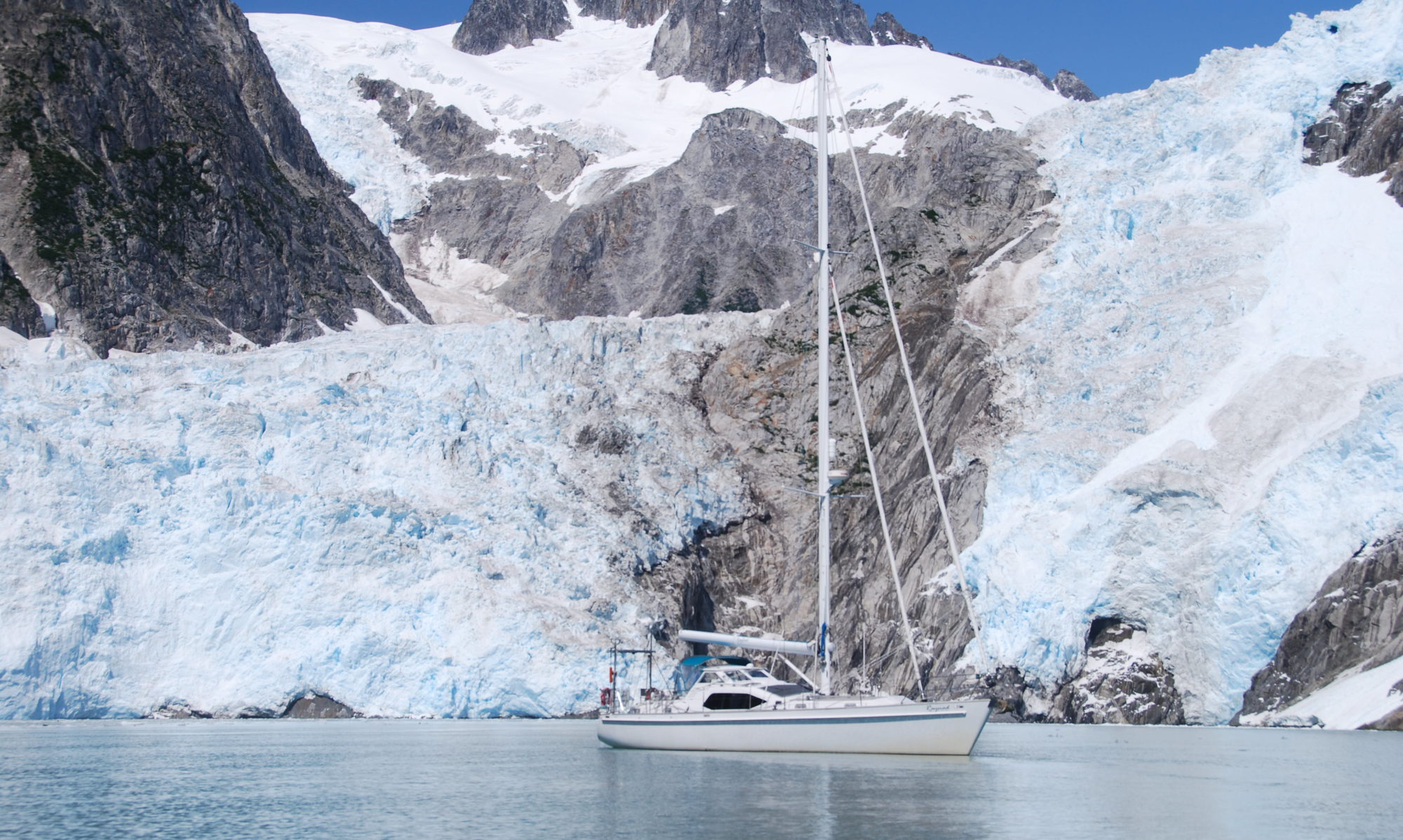
RAPA (latitude 27:38 S)
Soaring peaks up to 650 meters surrounding a horseshoe shaped bay make this a stunningly beautiful and dramatic island to visit. The channel leading into Rapa is a very well marked.

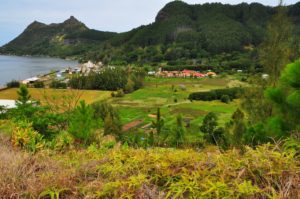
There are two villages on either side of Haurei Bay and several homes are spread around the inner Hiri bay.
Because these bays are just part of a flooded caldera, the underwater topography is very rugged and uneven making anchoring a bit challenging. Depths change continually and suddenly. There are several options on the northern side around: 27:36.6 S /144:19.8W in 12-22m. This anchorage is closest to the village on the north side, however, it’s easy to take the dingy across to the main village with a concrete wharf. Two white markers provide guidance over the safe part of the coral for approaching either village in a dingy. The people here are very friendly and welcoming. Because they do not get very many visitors, those yachties who make it here, are special and gather lots of friendly attention. Within an hour of our dropping anchor, we were visited by the local police, who reviewed our documents (took the copies we provided) and then invited us to a special community meal on Sunday. It’s a big deal for the teenagers to get invited onboard for a visit, so we and the other boat hosted several groups over the days we were here.
There is no surrounding reef. Offshore are several sugarloaf shaped islets. Twelve other indentations around the island provide other bays to explore during calm weather.
Peaches and nectarines are grown in Rapa! There are also a few banana trees, and gardens with lots of taro and we are told that there are also some oranges grown here. At this latitude there is an absence of coconut trees or other tropical fruits found in the rest of Polynesia. The hillsides are covered with pine trees, fern trees, lush grasses and a variety of other hardy fauna. Wild goat wander the steep hillsides.
History: Archaeologist William Mulloy explored the fortress atop Morongo Uta and cleared the vegetation to gain access.

This is the fortress most easilty visited today. Apparently Thor Hyerdahl and his groups found about a dozen of these “pa” (fortresses) buildt on the hildside surrounding Haurei Bay. These were built to defend the territories of the various tribes of ancient Rapa. Prior to the arrival in 1826 of European missionaries and their deadly diseases, Rapa supported a burgeoning population of 2,000-3,000 people. Today there are only about 850 inhabitants.
Hiking: several hikes can be made up to archaeological sites of what were once hilltop fortresses built in the days when there was a thriving, but competitive, tribal population. Some of these were later used to escape foreign intruders to the island. To hike to the fortress atop Morongo Uta,walk from the main village dock, head west passing the soccer field and sports building to find a dirt road that takes off to the left and climbs up the hill which eventually turns into a very well maintained track that even has steps cut into the steeper parts. The views along this hike are spectacular!

Roads: a road does in fact wind around the bay connecting the two villages with several side tracks out to the cargo dock and up the hillsides.
Services: the small stores are well stocked with basic provisions and some produce delivered by the monthly cargo ship. There is no airport, so the only way to access Rapa is via private yacht, or via the monthly ship.
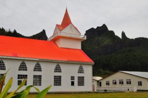
Churches: about 95% of the islanders are protestant, about 7 families are Seventh Day Adventist and the remainder are catholic. Hence there are three separate churches, each with a red roof. We were invited to a special celebration being held by the protestants for their new pastor.
